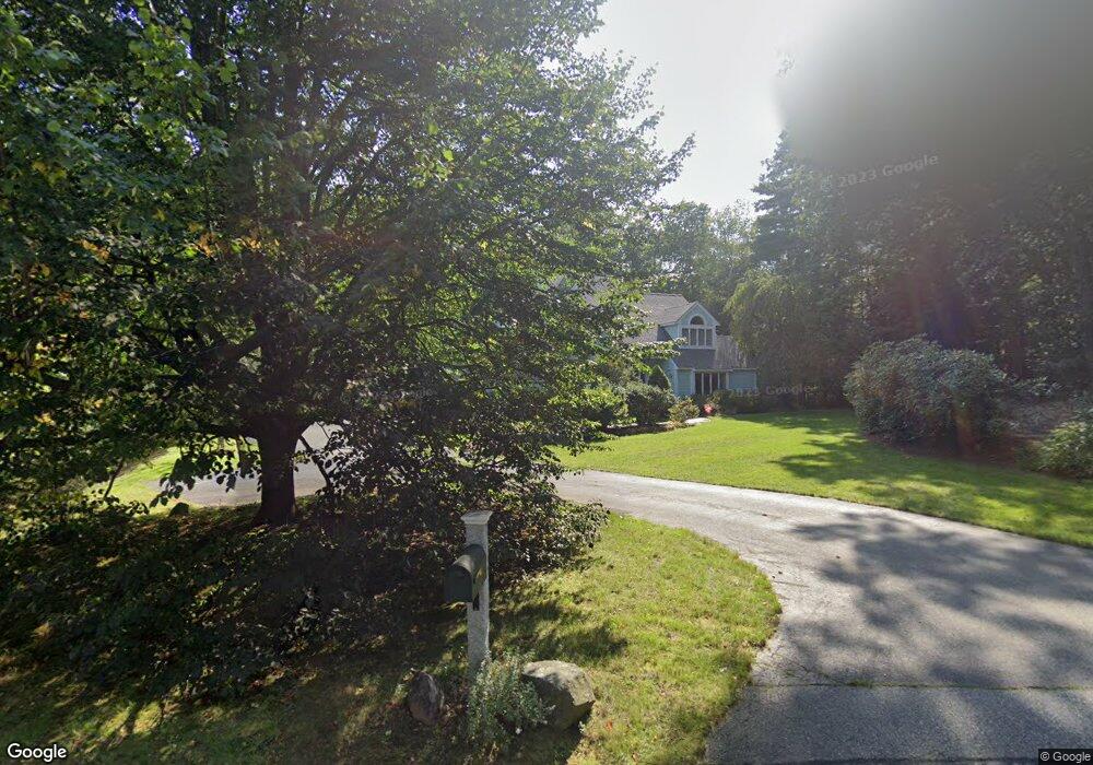
38 Far Reach Rd Westwood, MA 02090
Estimated Value: $2,091,843 - $3,225,000
4
Beds
4
Baths
2,861
Sq Ft
$923/Sq Ft
Est. Value
About This Home
This home is located at 38 Far Reach Rd, Westwood, MA 02090 and is currently estimated at $2,641,461, approximately $923 per square foot. 38 Far Reach Rd is a home located in Norfolk County with nearby schools including Westwood High School, Saint Joseph Elementary School, and Monsignor Haddad Middle School.
Ownership History
Date
Name
Owned For
Owner Type
Purchase Details
Closed on
Sep 16, 1996
Sold by
Mcgrath William J and Mcgrath Anne M
Bought by
Somers Michael Jg and Somers Evelyn M
Current Estimated Value
Home Financials for this Owner
Home Financials are based on the most recent Mortgage that was taken out on this home.
Original Mortgage
$300,000
Outstanding Balance
$25,715
Interest Rate
8.18%
Mortgage Type
Purchase Money Mortgage
Estimated Equity
$2,615,746
Create a Home Valuation Report for This Property
The Home Valuation Report is an in-depth analysis detailing your home's value as well as a comparison with similar homes in the area
Home Values in the Area
Average Home Value in this Area
Purchase History
| Date | Buyer | Sale Price | Title Company |
|---|---|---|---|
| Somers Michael Jg | $820,000 | -- |
Source: Public Records
Mortgage History
| Date | Status | Borrower | Loan Amount |
|---|---|---|---|
| Open | Somers Michael Jg | $300,000 | |
| Closed | Somers Michael Jg | $300,000 | |
| Previous Owner | Somers Michael Jg | $225,000 |
Source: Public Records
Tax History Compared to Growth
Tax History
| Year | Tax Paid | Tax Assessment Tax Assessment Total Assessment is a certain percentage of the fair market value that is determined by local assessors to be the total taxable value of land and additions on the property. | Land | Improvement |
|---|---|---|---|---|
| 2025 | $23,279 | $1,818,700 | $864,000 | $954,700 |
| 2024 | $23,729 | $1,852,400 | $824,400 | $1,028,000 |
| 2023 | $20,751 | $1,451,100 | $695,300 | $755,800 |
| 2022 | $19,910 | $1,342,550 | $636,000 | $706,550 |
| 2021 | $18,693 | $1,264,750 | $606,800 | $657,950 |
| 2020 | $18,930 | $1,304,600 | $606,800 | $697,800 |
| 2019 | $17,954 | $1,225,500 | $579,200 | $646,300 |
| 2018 | $20,667 | $1,369,550 | $674,000 | $695,550 |
| 2017 | $19,390 | $1,330,850 | $674,000 | $656,850 |
| 2016 | $19,397 | $1,323,100 | $712,000 | $611,100 |
| 2015 | $20,217 | $1,326,600 | $712,000 | $614,600 |
Source: Public Records
Map
Nearby Homes
- 298 Summer St
- 300 Summer St
- 429 Summer St
- 314 Grove St
- 85 Schoolmaster Ln
- 26 Longmeadow Dr
- 175 Schoolmaster Ln
- 20 Longmeadow Dr
- 98 Heather Ln
- 18 Longmeadow Dr
- 53 Heather Ln
- 15 Wilsondale St
- 758 South St
- 120 Wildwood Dr
- 828 South St
- 267 Dedham St
- 957 South St
- 15-19 Strawberry Hill St
- 250 Meadowbrook Rd
- 90 Burr Dr
- 42 Far Reach Rd Lot #42
- 62 Far Reach Rd
- 6 Far Reach Rd
- 45 Far Reach Rd
- 468 Summer St
- 90 Far Reach Rd
- 89 Far Reach Rd
- 472 Summer St
- 108 Far Reach Rd
- 15 Ridge Rd
- 39 Ridge Rd
- 480 Summer St
- 9 Recess Way
- 68 Westfield St
- 106 Westfield St
- 106 Westfield St Unit 109
- 65 Ridge Rd
- 127 Far Reach Rd
- 136 Far Reach Rd
- 38 Ridge Rd