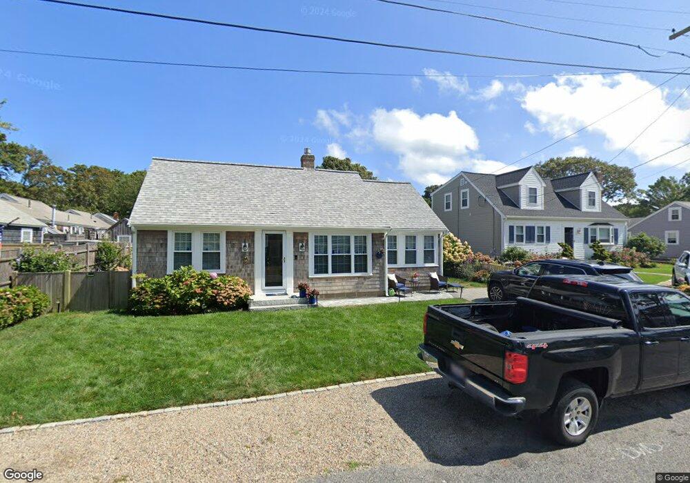
38 Ferncliff Rd Dennis Port, MA 02639
Dennis Port NeighborhoodEstimated Value: $595,000 - $721,000
3
Beds
1
Bath
1,116
Sq Ft
$606/Sq Ft
Est. Value
About This Home
This home is located at 38 Ferncliff Rd, Dennis Port, MA 02639 and is currently estimated at $676,517, approximately $606 per square foot. 38 Ferncliff Rd is a home located in Barnstable County with nearby schools including Dennis-Yarmouth Regional High School and St. Pius X. School.
Ownership History
Date
Name
Owned For
Owner Type
Purchase Details
Closed on
Nov 26, 2021
Sold by
Curry Anne L
Bought by
Anne L Curry Ret 2021
Current Estimated Value
Purchase Details
Closed on
Jun 15, 2015
Sold by
Lamothe Gerald A and Lamothe Patricia L
Bought by
Curry Anne L
Purchase Details
Closed on
Nov 29, 1996
Sold by
Lamothe Gerald A and Lamothe Elaine K
Bought by
Lamothe Gerald A
Home Financials for this Owner
Home Financials are based on the most recent Mortgage that was taken out on this home.
Original Mortgage
$125,000
Interest Rate
7.82%
Mortgage Type
Purchase Money Mortgage
Create a Home Valuation Report for This Property
The Home Valuation Report is an in-depth analysis detailing your home's value as well as a comparison with similar homes in the area
Home Values in the Area
Average Home Value in this Area
Purchase History
| Date | Buyer | Sale Price | Title Company |
|---|---|---|---|
| Anne L Curry Ret 2021 | -- | None Available | |
| Curry Anne L | $258,000 | -- | |
| Lamothe Gerald A | $63,829 | -- | |
| Lamothe Gerald A | $125,000 | -- |
Source: Public Records
Mortgage History
| Date | Status | Borrower | Loan Amount |
|---|---|---|---|
| Previous Owner | Lamothe Gerald A | $125,000 |
Source: Public Records
Tax History Compared to Growth
Tax History
| Year | Tax Paid | Tax Assessment Tax Assessment Total Assessment is a certain percentage of the fair market value that is determined by local assessors to be the total taxable value of land and additions on the property. | Land | Improvement |
|---|---|---|---|---|
| 2025 | $2,711 | $626,000 | $276,500 | $349,500 |
| 2024 | $2,569 | $585,100 | $265,900 | $319,200 |
| 2023 | $2,484 | $532,000 | $241,700 | $290,300 |
| 2022 | $2,265 | $404,500 | $190,500 | $214,000 |
| 2021 | $2,199 | $364,700 | $186,800 | $177,900 |
| 2020 | $2,125 | $348,400 | $186,800 | $161,600 |
| 2019 | $2,127 | $344,800 | $198,800 | $146,000 |
| 2018 | $2,043 | $322,200 | $189,300 | $132,900 |
| 2017 | $1,742 | $283,200 | $174,300 | $108,900 |
| 2016 | $1,657 | $253,800 | $164,400 | $89,400 |
| 2015 | $1,727 | $269,800 | $164,400 | $105,400 |
| 2014 | -- | $259,800 | $154,400 | $105,400 |
Source: Public Records
Map
Nearby Homes
- 22 Ferncliff Rd
- 102 Sea St
- 37-A Beach Hills Rd
- 37 Beach Hills Rd
- 262 Old Wharf Rd Unit 67
- 262 Old Wharf Rd Unit 5
- 262 Old Wharf Rd Unit 5
- 262 Old Wharf Rd Unit 87
- 405 Old Wharf Rd Unit B204
- 405 Old Wharf Rd Unit B204
- 241 Old Wharf Rd Unit 82
- 241 Old Wharf Rd Unit 127
- 18 Holiday Ln
- 230 Old Wharf Rd Unit 272
- 104 Toms Path
- 217 Old Wharf Rd Unit 64
- 104 Toms Path
- 12 Cross St
- 154 Old Wharf Rd Unit 26
- 154 Old Wharf Rd Unit 14
- 42 Ferncliff Rd
- 25 Arbor Way
- 23 Arbor Way
- 25 Arbor Way Unit Kare
- 25 Arbor Way Unit 25
- 23 Arbor Way Unit 29
- 23 Arbor Way Unit 25
- 29 Arbor Way
- 29 Arbor Way Unit 29
- 33 Fenway Rd
- 35 Ferncliff Rd
- 27 Arbor Way
- 29 Fenway Rd
- 44 Ferncliff Rd
- 33 Ferncliff Rd
- 0 Ferncliff Rd Unit 2
- 39 Ferncliff Rd
- 0 Arbor Way
- 25 Fenway Rd
- 26 Arbor Way