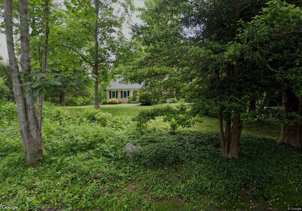
38 Flintlock Way Yarmouth Port, MA 02675
Yarmouth Port NeighborhoodEstimated Value: $767,000 - $1,101,000
4
Beds
2
Baths
1,482
Sq Ft
$602/Sq Ft
Est. Value
About This Home
This home is located at 38 Flintlock Way, Yarmouth Port, MA 02675 and is currently estimated at $892,526, approximately $602 per square foot. 38 Flintlock Way is a home located in Barnstable County with nearby schools including Dennis-Yarmouth Regional High School and Trinity Christian Academy of Cape Cod.
Ownership History
Date
Name
Owned For
Owner Type
Purchase Details
Closed on
Mar 28, 1994
Sold by
Patey Elizabeth S
Bought by
Oshaughnessy John G and Oshaughnessy Anne H
Current Estimated Value
Home Financials for this Owner
Home Financials are based on the most recent Mortgage that was taken out on this home.
Original Mortgage
$151,500
Interest Rate
7.15%
Mortgage Type
Purchase Money Mortgage
Create a Home Valuation Report for This Property
The Home Valuation Report is an in-depth analysis detailing your home's value as well as a comparison with similar homes in the area
Home Values in the Area
Average Home Value in this Area
Purchase History
| Date | Buyer | Sale Price | Title Company |
|---|---|---|---|
| Oshaughnessy John G | $159,500 | -- |
Source: Public Records
Mortgage History
| Date | Status | Borrower | Loan Amount |
|---|---|---|---|
| Open | Oshaughnessy John G | $60,000 | |
| Closed | Oshaughnessy John G | $151,500 |
Source: Public Records
Tax History Compared to Growth
Tax History
| Year | Tax Paid | Tax Assessment Tax Assessment Total Assessment is a certain percentage of the fair market value that is determined by local assessors to be the total taxable value of land and additions on the property. | Land | Improvement |
|---|---|---|---|---|
| 2025 | $5,127 | $724,200 | $321,100 | $403,100 |
| 2024 | $4,839 | $655,700 | $294,000 | $361,700 |
| 2023 | $5,113 | $630,400 | $300,600 | $329,800 |
| 2022 | $4,237 | $461,500 | $212,400 | $249,100 |
| 2021 | $4,118 | $430,800 | $202,700 | $228,100 |
| 2020 | $4,030 | $403,000 | $202,300 | $200,700 |
| 2019 | $3,826 | $378,800 | $202,300 | $176,500 |
| 2018 | $3,805 | $369,800 | $193,300 | $176,500 |
| 2017 | $3,705 | $369,800 | $193,300 | $176,500 |
| 2016 | $3,691 | $369,800 | $193,300 | $176,500 |
| 2015 | $3,576 | $356,200 | $193,300 | $162,900 |
Source: Public Records
Map
Nearby Homes
- 162 Route 6a
- 186 Route 6a
- 116 Main St
- 116 Main (Route 6a) St
- 112 Main St
- 56 Wharf Ln
- 371 Route 6a
- 4390 Main St
- 105 Old Hyannis Rd
- 25 Congressional Dr
- 33 Midpine Rd
- 81 Desert Sands Ln
- 933-935 W Yarmouth Rd
- 67 Spy Glass Hill Rd
- 34 Ridgewood Dr
- 99 Old Hyannis Rd
- 23 Dauphine Dr
- 882 W Yarmouth Rd
- 111 Old Hyannis Rd
- 24 Minnetuxet Way
- 32 Flintlock Way
- 168 Main St
- 28 Flintlock Way
- 176 Route 6a
- 168 Route 6a
- 37 Flintlock Way
- 31 Flintlock Way
- 162 Old King's Hwy
- 162 Main St
- 180 Route 6a
- 99 Thacher Shore Rd
- 156 Route 6a
- 162 Route 6a Unit D
- 169 Main (Route 6a) St
- 25 Flintlock Way
- 22 Flintlock Way
- 190 Route 6a
- 169 Route 6a
- 152 Main St
- 173 Route 6a