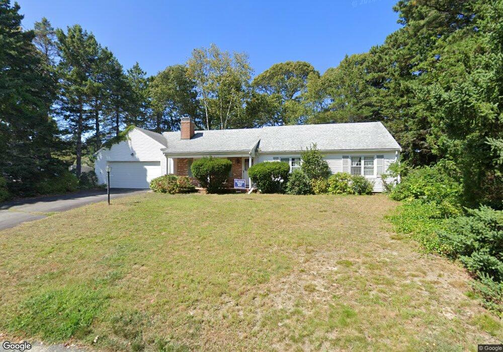
38 Gunwale Way Yarmouth Port, MA 02675
Yarmouth Port NeighborhoodEstimated Value: $639,516 - $736,000
3
Beds
2
Baths
1,350
Sq Ft
$520/Sq Ft
Est. Value
About This Home
This home is located at 38 Gunwale Way, Yarmouth Port, MA 02675 and is currently estimated at $702,129, approximately $520 per square foot. 38 Gunwale Way is a home located in Barnstable County with nearby schools including Dennis-Yarmouth Regional High School and St. Pius X. School.
Ownership History
Date
Name
Owned For
Owner Type
Purchase Details
Closed on
Nov 25, 2024
Sold by
Borg Linda A
Bought by
2024 Linda A Borg T and 2024 Borg
Current Estimated Value
Purchase Details
Closed on
Jun 30, 2003
Sold by
Roberti Richard D and Roberti Priscilla K
Bought by
Borg Nancy J and Borg Linda A
Purchase Details
Closed on
Dec 29, 1998
Sold by
Brunn Dorothy L
Bought by
Roberti Richard D and Roberti Priscilla K
Home Financials for this Owner
Home Financials are based on the most recent Mortgage that was taken out on this home.
Original Mortgage
$128,000
Interest Rate
6.89%
Mortgage Type
Purchase Money Mortgage
Create a Home Valuation Report for This Property
The Home Valuation Report is an in-depth analysis detailing your home's value as well as a comparison with similar homes in the area
Home Values in the Area
Average Home Value in this Area
Purchase History
| Date | Buyer | Sale Price | Title Company |
|---|---|---|---|
| 2024 Linda A Borg T | -- | None Available | |
| 2024 Linda A Borg T | -- | None Available | |
| Borg Nancy J | $345,000 | -- | |
| Roberti Richard D | $160,000 | -- | |
| Borg Nancy J | $345,000 | -- | |
| Roberti Richard D | $160,000 | -- |
Source: Public Records
Mortgage History
| Date | Status | Borrower | Loan Amount |
|---|---|---|---|
| Previous Owner | Roberti Richard D | $128,000 |
Source: Public Records
Tax History Compared to Growth
Tax History
| Year | Tax Paid | Tax Assessment Tax Assessment Total Assessment is a certain percentage of the fair market value that is determined by local assessors to be the total taxable value of land and additions on the property. | Land | Improvement |
|---|---|---|---|---|
| 2025 | $4,043 | $571,000 | $169,300 | $401,700 |
| 2024 | $3,810 | $516,200 | $147,300 | $368,900 |
| 2023 | $4,116 | $507,500 | $133,900 | $373,600 |
| 2022 | $3,901 | $424,900 | $127,700 | $297,200 |
| 2021 | $3,627 | $379,400 | $127,700 | $251,700 |
| 2020 | $3,595 | $359,500 | $135,100 | $224,400 |
| 2019 | $3,301 | $326,800 | $135,100 | $191,700 |
| 2018 | $3,131 | $304,300 | $112,600 | $191,700 |
| 2017 | $3,049 | $304,300 | $112,600 | $191,700 |
| 2016 | $2,947 | $295,300 | $103,600 | $191,700 |
| 2015 | $2,768 | $275,700 | $99,100 | $176,600 |
Source: Public Records
Map
Nearby Homes
- 86 Pompano Rd
- 43 Canterbury Rd
- 44 Stratford Ln
- 1 Barnacle Rd
- 25 Oak Glen
- 25 Oak Glen Village Unit 25
- 34 Kates Path
- 34 Kates Path Unit 34
- 17 Kates Path Unit A
- 228 Kates Path
- 64 Kates Path
- 2 Pine Grove
- 7 Forest Gate Unit 7
- 30 W Woods Cir Unit 30
- 30 W Woods
- 6 Nimble Hill Dr
- 50 John Hall Cartway
- 50 John Hall Cartway Unit 50
- 42 John Hall Cartway Unit 42
- 8 Rowley Ln
- 38 Gunwale Way
- 44 Gunwhale Rd
- 32 Gunwale Way
- 32 Gunwale Way
- 783 Route 6a
- 44 Gunwale Way
- 783 Old King's Hwy
- 44 Gunwale Way
- 33 Gunwale Way
- 39 Gunwhale Rd
- 33 Gunwale Way
- 33 Gunwale Way
- 39 Gunwale Way
- 787 Massachusetts 6a
- 777 Massachusetts 6a Unit C14
- 777 Route 6a
- 777 Route 6a Unit C17
- 787 Route 6a
- 45 Gunwale Way
- 29 Gunwale Way