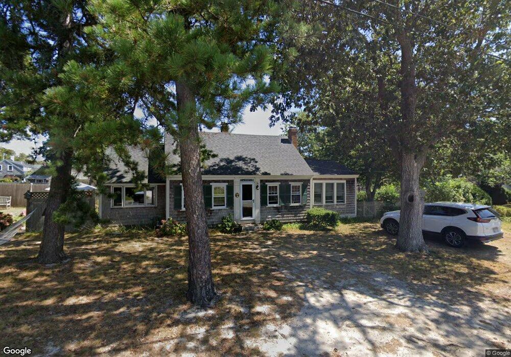
38 Hamilton Rd Dennis Port, MA 02639
Dennis Port NeighborhoodEstimated Value: $638,000 - $817,000
3
Beds
2
Baths
1,206
Sq Ft
$607/Sq Ft
Est. Value
About This Home
This home is located at 38 Hamilton Rd, Dennis Port, MA 02639 and is currently estimated at $732,132, approximately $607 per square foot. 38 Hamilton Rd is a home located in Barnstable County with nearby schools including Dennis-Yarmouth Regional High School and St. Pius X. School.
Ownership History
Date
Name
Owned For
Owner Type
Purchase Details
Closed on
Jun 20, 2017
Sold by
Bushnell Dorothea A
Bought by
Dorothea A Bushnell Lt
Current Estimated Value
Purchase Details
Closed on
Jun 24, 1976
Bought by
Bushnell Edward J and Bushnell Dorothea A
Create a Home Valuation Report for This Property
The Home Valuation Report is an in-depth analysis detailing your home's value as well as a comparison with similar homes in the area
Home Values in the Area
Average Home Value in this Area
Purchase History
| Date | Buyer | Sale Price | Title Company |
|---|---|---|---|
| Dorothea A Bushnell Lt | -- | -- | |
| Bushnell Edward J | -- | -- |
Source: Public Records
Mortgage History
| Date | Status | Borrower | Loan Amount |
|---|---|---|---|
| Previous Owner | Bushnell Edward J | $50,000 |
Source: Public Records
Tax History Compared to Growth
Tax History
| Year | Tax Paid | Tax Assessment Tax Assessment Total Assessment is a certain percentage of the fair market value that is determined by local assessors to be the total taxable value of land and additions on the property. | Land | Improvement |
|---|---|---|---|---|
| 2025 | $2,998 | $692,400 | $348,400 | $344,000 |
| 2024 | $2,856 | $650,500 | $335,100 | $315,400 |
| 2023 | $2,763 | $591,600 | $304,600 | $287,000 |
| 2022 | $2,547 | $454,800 | $240,100 | $214,700 |
| 2021 | $2,440 | $404,700 | $235,400 | $169,300 |
| 2020 | $2,410 | $395,100 | $235,400 | $159,700 |
| 2019 | $15,024 | $392,700 | $250,600 | $142,100 |
| 2018 | $2,384 | $376,000 | $238,500 | $137,500 |
| 2017 | $13,570 | $357,200 | $219,700 | $137,500 |
| 2016 | $2,120 | $324,600 | $207,100 | $117,500 |
| 2015 | $2,077 | $324,600 | $207,100 | $117,500 |
| 2014 | $1,958 | $308,400 | $194,600 | $113,800 |
Source: Public Records
Map
Nearby Homes
- 402 Old Wharf Rd
- 402 Old Wharf Rd
- 102 Sea St
- 405 Old Wharf Rd Unit B204
- 405 Old Wharf Rd Unit B204
- 11 Ocean Park W
- 9 Chase Ave Unit 6
- 22 Ferncliff Rd
- 26 Manning Rd
- 12 Cross St
- 37-A Beach Hills Rd
- 37 Beach Hills Rd
- 159 Center St Unit 22
- 1 E Belmont Unit 630
- 262 Old Wharf Rd Unit 67
- 262 Old Wharf Rd Unit 5
- 262 Old Wharf Rd Unit 5
- 262 Old Wharf Rd Unit 20
- 262 Old Wharf Rd Unit 87
- 1 Belmont Rd Unit 630