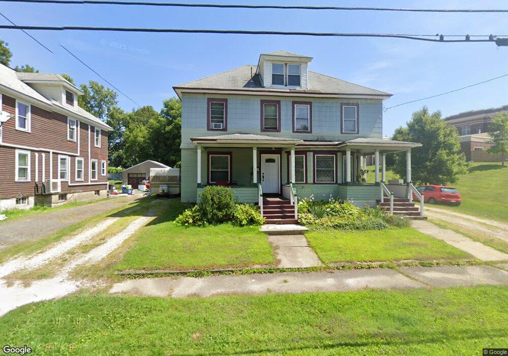
38 Hawthorne Ave Pittsfield, MA 01201
Estimated Value: $192,000 - $277,000
6
Beds
2
Baths
2,722
Sq Ft
$86/Sq Ft
Est. Value
About This Home
This home is located at 38 Hawthorne Ave, Pittsfield, MA 01201 and is currently estimated at $235,238, approximately $86 per square foot. 38 Hawthorne Ave is a home located in Berkshire County with nearby schools including Silvio O. Conte Community School, John T. Reid Middle School, and Taconic High School.
Ownership History
Date
Name
Owned For
Owner Type
Purchase Details
Closed on
Apr 23, 1999
Sold by
Carroll Edward F and Watts Catherine
Bought by
Ambrose Allan and Ambrose Alison J
Current Estimated Value
Home Financials for this Owner
Home Financials are based on the most recent Mortgage that was taken out on this home.
Original Mortgage
$52,250
Interest Rate
7.02%
Mortgage Type
Purchase Money Mortgage
Create a Home Valuation Report for This Property
The Home Valuation Report is an in-depth analysis detailing your home's value as well as a comparison with similar homes in the area
Home Values in the Area
Average Home Value in this Area
Purchase History
| Date | Buyer | Sale Price | Title Company |
|---|---|---|---|
| Ambrose Allan | $55,000 | -- |
Source: Public Records
Mortgage History
| Date | Status | Borrower | Loan Amount |
|---|---|---|---|
| Open | Ambrose Allan | $74,500 | |
| Closed | Ambrose Allan | $20,000 | |
| Closed | Ambrose Allan | $52,250 | |
| Previous Owner | Ambrose Allan | $12,020 |
Source: Public Records
Tax History Compared to Growth
Tax History
| Year | Tax Paid | Tax Assessment Tax Assessment Total Assessment is a certain percentage of the fair market value that is determined by local assessors to be the total taxable value of land and additions on the property. | Land | Improvement |
|---|---|---|---|---|
| 2025 | $3,357 | $187,100 | $56,000 | $131,100 |
| 2024 | $3,090 | $167,500 | $56,000 | $111,500 |
| 2023 | $2,788 | $152,200 | $50,700 | $101,500 |
| 2022 | $2,769 | $149,200 | $50,700 | $98,500 |
| 2021 | $2,485 | $129,100 | $50,700 | $78,400 |
| 2020 | $2,491 | $126,400 | $50,700 | $75,700 |
| 2019 | $2,420 | $124,600 | $50,700 | $73,900 |
| 2018 | $2,421 | $121,000 | $50,700 | $70,300 |
| 2017 | $2,411 | $122,800 | $48,700 | $74,100 |
| 2016 | $2,332 | $124,300 | $48,700 | $75,600 |
| 2015 | $2,245 | $124,300 | $48,700 | $75,600 |
Source: Public Records
Map
Nearby Homes
- 20 Greenway St
- 28 Mckinley Terrace
- 92 W Housatonic St
- 71 S Church St Unit S102
- 96 Boylston St
- 36 George St
- 79 Center St
- 50 W Housatonic St
- 31 Henry Ave
- 156 Elizabeth St
- 13 Goodrich St
- 33 Circular Ave
- 247 South St
- 1 Colt Rd Unit 2
- 20, 26, 30 E Housatonic St
- 5 Crofut St
- 32 Velma Ave
- 18 Velma Ave
- 194 Bartlett Ave
- 334 Columbus Ave
- 46 Hawthorne Ave
- 56 Hawthorne Ave
- 43 Hawthorne Ave
- 37 Hawthorne Ave
- 31 Brenton Terrace
- 35 Brenton Terrace
- 51 Hawthorne Ave
- 55 Oxford St
- 66 Hawthorne Ave
- 29 Hawthorne Ave
- 49 Oxford St
- 41 Brenton Terrace
- 200 W Housatonic St Unit 13
- 200 W Housatonic St Unit 25
- 200 W Housatonic St Unit 17
- 200 W Housatonic St Unit 3
- 200 W Housatonic St Unit 8
- 200 W Housatonic St Unit 21
- 200 W Housatonic St Unit 1
- 200 W Housatonic St Unit 15