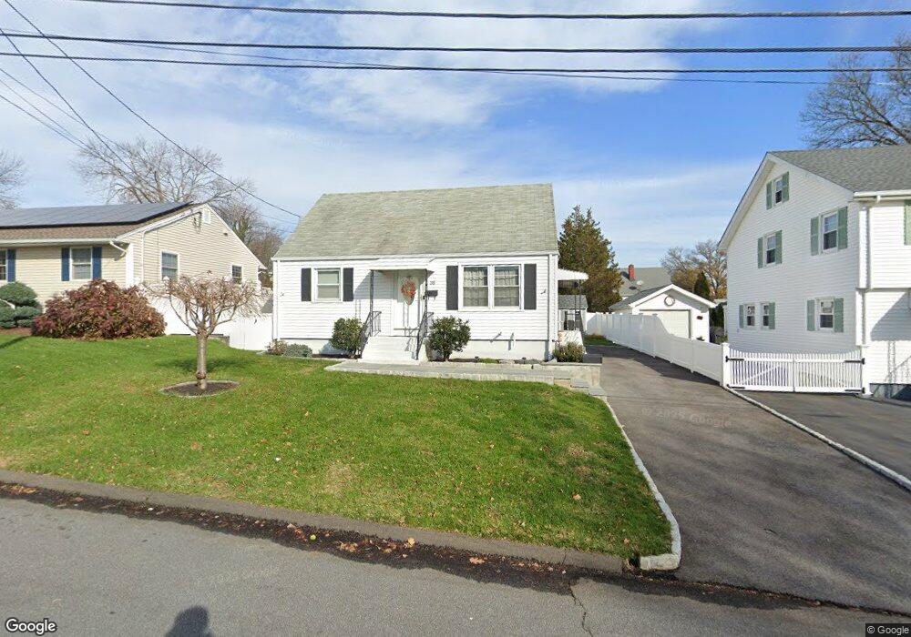
38 Hazel St Fairfield, CT 06825
Tunxis Hill NeighborhoodEstimated Value: $438,000 - $473,000
2
Beds
1
Bath
720
Sq Ft
$624/Sq Ft
Est. Value
About This Home
This home is located at 38 Hazel St, Fairfield, CT 06825 and is currently estimated at $449,487, approximately $624 per square foot. 38 Hazel St is a home located in Fairfield County with nearby schools including Mckinley Elementary School, Tomlinson Middle School, and Fairfield Warde High School.
Ownership History
Date
Name
Owned For
Owner Type
Purchase Details
Closed on
Jul 10, 2009
Sold by
Est Balogh Elizabeth and Ohara Charles D
Bought by
Kidwell Troy A and Kidwell Christina A
Current Estimated Value
Home Financials for this Owner
Home Financials are based on the most recent Mortgage that was taken out on this home.
Original Mortgage
$265,109
Interest Rate
4.93%
Create a Home Valuation Report for This Property
The Home Valuation Report is an in-depth analysis detailing your home's value as well as a comparison with similar homes in the area
Home Values in the Area
Average Home Value in this Area
Purchase History
| Date | Buyer | Sale Price | Title Company |
|---|---|---|---|
| Kidwell Troy A | $270,000 | -- | |
| Kidwell Troy A | $270,000 | -- |
Source: Public Records
Mortgage History
| Date | Status | Borrower | Loan Amount |
|---|---|---|---|
| Open | Kidwell Troy A | $248,473 | |
| Closed | Kidwell Troy A | $265,109 |
Source: Public Records
Tax History
| Year | Tax Paid | Tax Assessment Tax Assessment Total Assessment is a certain percentage of the fair market value that is determined by local assessors to be the total taxable value of land and additions on the property. | Land | Improvement |
|---|---|---|---|---|
| 2025 | $5,878 | $207,060 | $167,580 | $39,480 |
| 2024 | $5,777 | $207,060 | $167,580 | $39,480 |
| 2023 | $5,696 | $207,060 | $167,580 | $39,480 |
| 2022 | $5,640 | $207,060 | $167,580 | $39,480 |
| 2021 | $5,586 | $207,060 | $167,580 | $39,480 |
| 2020 | $4,889 | $182,490 | $139,650 | $42,840 |
| 2019 | $4,889 | $182,490 | $139,650 | $42,840 |
| 2018 | $4,810 | $182,490 | $139,650 | $42,840 |
| 2017 | $4,712 | $182,490 | $139,650 | $42,840 |
| 2016 | $4,644 | $182,490 | $139,650 | $42,840 |
| 2015 | $4,592 | $185,220 | $148,120 | $37,100 |
| 2014 | $4,519 | $185,220 | $148,120 | $37,100 |
Source: Public Records
Map
Nearby Homes
- 206 Sterling St
- 214 York Rd
- 108 Roseville St
- 21 Boroskey Rd
- 1 Overlook Ave
- 37 Biro St
- 652 Black Rock Turnpike
- 65 Benton St
- 187 Halley Ave
- 57 Hibiscus St Unit 1
- 28 Country Rd
- 145 Brentwood Ave
- 156 Halley Ave
- 183 Vesper St
- 12 Reynolds Dr
- 240 Sunnyridge Ave Unit 63
- 41 Pepperbush Ln
- 376 Knapps Hwy
- 155 Moody Ave
- 274 High St
- 28 Hazel St
- 50 Hazel St
- 37 Hazel St
- 8 Hazel St
- 778 Old Stratfield Rd
- 64 Hazel St
- 47 Hazel St
- 27 Laurel St
- 975 Knapps Hwy
- 27 Hazel St
- 1015 Knapps Hwy
- 69 Laurel St
- 818 Old Stratfield Rd
- 764 Old Stratfield Rd
- 1040 Black Rock Turnpike
- 34 Laurel St
- 1052 Black Rock Turnpike
- 797 Old Stratfield Rd
- 1026 Black Rock Turnpike
- 32 Laurel St
Your Personal Tour Guide
Ask me questions while you tour the home.