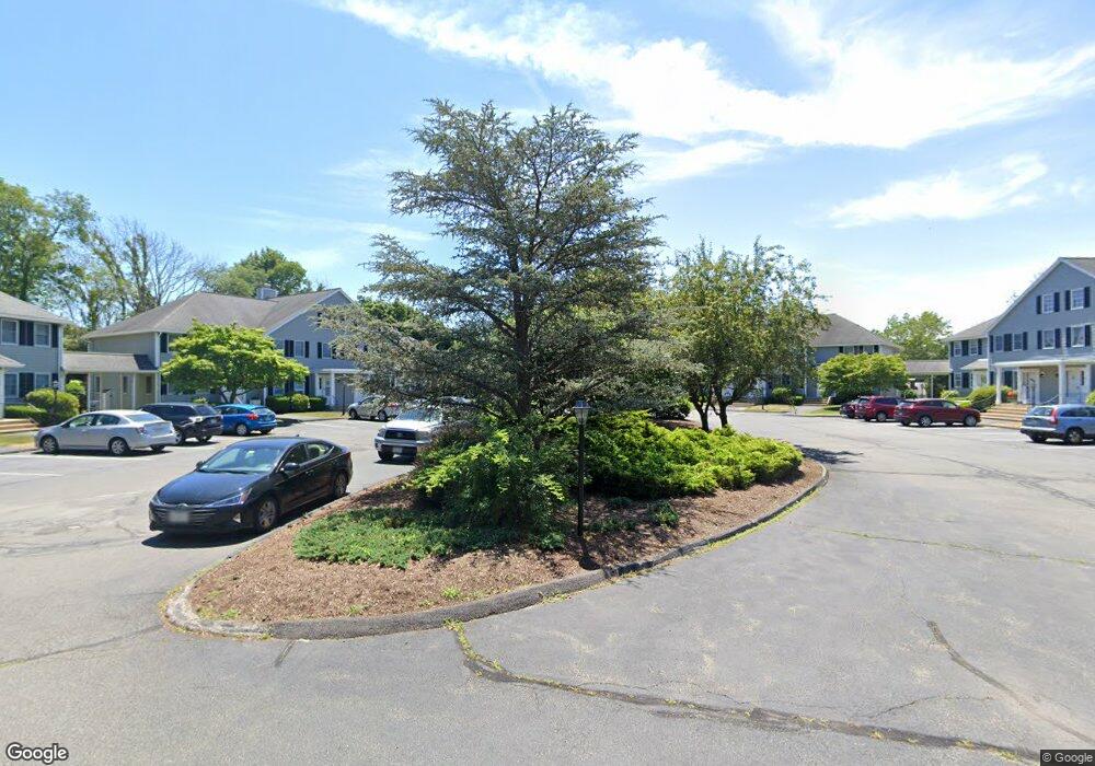
38 High St Unit B7 Hanson, MA 02341
Estimated Value: $405,514 - $486,000
2
Beds
1
Bath
1,368
Sq Ft
$319/Sq Ft
Est. Value
About This Home
This home is located at 38 High St Unit B7, Hanson, MA 02341 and is currently estimated at $436,379, approximately $318 per square foot. 38 High St Unit B7 is a home located in Plymouth County.
Ownership History
Date
Name
Owned For
Owner Type
Purchase Details
Closed on
Sep 3, 2009
Sold by
Bina Joseph H and Bina Judith A
Bought by
Perry Jannine M
Current Estimated Value
Home Financials for this Owner
Home Financials are based on the most recent Mortgage that was taken out on this home.
Original Mortgage
$222,299
Outstanding Balance
$145,530
Interest Rate
5.21%
Mortgage Type
Purchase Money Mortgage
Estimated Equity
$290,849
Purchase Details
Closed on
Sep 20, 1996
Sold by
Martin John J and Martin Kristen
Bought by
Bina Joseph H and Bina Judith A
Home Financials for this Owner
Home Financials are based on the most recent Mortgage that was taken out on this home.
Original Mortgage
$25,000
Interest Rate
7.89%
Mortgage Type
Purchase Money Mortgage
Create a Home Valuation Report for This Property
The Home Valuation Report is an in-depth analysis detailing your home's value as well as a comparison with similar homes in the area
Home Values in the Area
Average Home Value in this Area
Purchase History
| Date | Buyer | Sale Price | Title Company |
|---|---|---|---|
| Perry Jannine M | $226,400 | -- | |
| Bina Joseph H | $120,000 | -- |
Source: Public Records
Mortgage History
| Date | Status | Borrower | Loan Amount |
|---|---|---|---|
| Open | Bina Joseph H | $222,299 | |
| Previous Owner | Bina Joseph H | $100,000 | |
| Previous Owner | Bina Joseph H | $25,000 | |
| Previous Owner | Bina Joseph H | $25,000 |
Source: Public Records
Tax History
| Year | Tax Paid | Tax Assessment Tax Assessment Total Assessment is a certain percentage of the fair market value that is determined by local assessors to be the total taxable value of land and additions on the property. | Land | Improvement |
|---|---|---|---|---|
| 2025 | $4,687 | $350,300 | $0 | $350,300 |
| 2024 | $4,516 | $337,500 | $0 | $337,500 |
| 2023 | $4,757 | $335,500 | $0 | $335,500 |
| 2022 | $4,518 | $299,400 | $0 | $299,400 |
| 2021 | $4,011 | $265,600 | $0 | $265,600 |
| 2020 | $3,773 | $247,100 | $0 | $247,100 |
| 2019 | $3,521 | $226,700 | $0 | $226,700 |
| 2018 | $3,294 | $208,100 | $0 | $208,100 |
| 2017 | $3,204 | $200,500 | $0 | $200,500 |
| 2016 | $3,194 | $193,000 | $0 | $193,000 |
| 2015 | $2,985 | $187,500 | $0 | $187,500 |
Source: Public Records
Map
Nearby Homes
- 1054 Main St
- 72 Phillips St
- 80 Phillips St
- 170 Elm St
- Lot 6 Way
- Lot 2 Harvard Rd
- 361A County Rd
- 361 County Rd
- 61 Sawmill Ln
- 61 Sawmill Ln Unit 61
- 318 South St
- 26 Franklin St
- 1754 Central St
- 143 Plymouth St
- 161 Winter St Unit 11
- 126-130 Franklin St
- 134 Crescent St
- 6 Amanda's Way Unit 6
- 84 Liberty St
- 102 Leon Ct
- 38 High St Unit 3
- 38 High St Unit D17
- 38 High St Unit D16
- 38 High St Unit D15
- 38 High St Unit D14
- 38 High St Unit C12
- 38 High St Unit C11
- 38 High St Unit C10
- 38 High St Unit C9
- 38 High St Unit B8
- 38 High St Unit B6
- 38 High St Unit B5
- 38 High St Unit A4
- 38 High St Unit A3
- 38 High St Unit A2
- 38 High St Unit A1
- 38 High St Unit 2
- 38 High St Unit 7
- 38 High St Unit 1
- 38 High St Unit 6
Your Personal Tour Guide
Ask me questions while you tour the home.