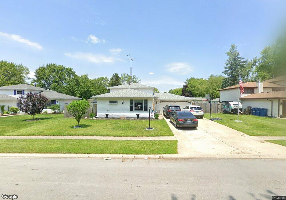
38 Hilltop Dr Bourbonnais, IL 60914
Estimated Value: $240,000 - $256,793
Studio
--
Bath
--
Sq Ft
10,019
Sq Ft Lot
About This Home
This home is located at 38 Hilltop Dr, Bourbonnais, IL 60914 and is currently estimated at $250,448. 38 Hilltop Dr is a home located in Kankakee County with nearby schools including Noel Levasseur Elementary School, Liberty Intermediate School, and Bourbonnais Upper Grade Center.
Ownership History
Date
Name
Owned For
Owner Type
Purchase Details
Closed on
Oct 22, 2021
Sold by
Wendinger Matthew Paul
Bought by
Jolley Jame Lynn and Jolley Joshua Eugene
Current Estimated Value
Home Financials for this Owner
Home Financials are based on the most recent Mortgage that was taken out on this home.
Original Mortgage
$192,950
Outstanding Balance
$175,993
Interest Rate
3.25%
Mortgage Type
New Conventional
Estimated Equity
$74,455
Purchase Details
Closed on
Oct 22, 2020
Sold by
Richmond Donald G
Bought by
Wendinger Matthew Paul
Home Financials for this Owner
Home Financials are based on the most recent Mortgage that was taken out on this home.
Original Mortgage
$123,500
Interest Rate
2.8%
Mortgage Type
New Conventional
Purchase Details
Closed on
May 24, 2019
Sold by
Richmond Carla L
Bought by
Richmond Donald G
Create a Home Valuation Report for This Property
The Home Valuation Report is an in-depth analysis detailing your home's value as well as a comparison with similar homes in the area
Home Values in the Area
Average Home Value in this Area
Purchase History
| Date | Buyer | Sale Price | Title Company |
|---|---|---|---|
| Jolley Jame Lynn | $227,000 | Homestar Title | |
| Wendinger Matthew Paul | $130,000 | Homestar Title | |
| Richmond Donald G | -- | -- |
Source: Public Records
Mortgage History
| Date | Status | Borrower | Loan Amount |
|---|---|---|---|
| Open | Jolley Jame Lynn | $192,950 | |
| Previous Owner | Wendinger Matthew Paul | $123,500 |
Source: Public Records
Tax History
| Year | Tax Paid | Tax Assessment Tax Assessment Total Assessment is a certain percentage of the fair market value that is determined by local assessors to be the total taxable value of land and additions on the property. | Land | Improvement |
|---|---|---|---|---|
| 2024 | $6,238 | $75,320 | $6,562 | $68,758 |
| 2023 | $5,585 | $67,887 | $6,076 | $61,811 |
| 2022 | $5,366 | $62,596 | $5,856 | $56,740 |
| 2021 | $5,141 | $59,602 | $5,727 | $53,875 |
| 2020 | $4,044 | $56,979 | $5,574 | $51,405 |
| 2019 | $3,762 | $53,320 | $5,412 | $47,908 |
| 2018 | $3,297 | $51,974 | $5,332 | $46,642 |
| 2017 | $3,319 | $50,706 | $5,202 | $45,504 |
| 2016 | $3,312 | $48,001 | $5,125 | $42,876 |
| 2015 | $3,354 | $48,391 | $5,074 | $43,317 |
| 2014 | $3,240 | $48,399 | $5,074 | $43,325 |
| 2013 | -- | $47,972 | $5,074 | $42,898 |
Source: Public Records
Map
Nearby Homes
- 54 Bonds Dr
- 22 Emery Dr
- 9 Hilltop Dr
- 1230 Eagle Bluff Dr
- 1356 Eagle Bluff Dr
- 15 Hanson Dr
- 172 Anita Dr
- 817 Stonewall Dr
- 206 Meadows Rd S
- 375 Meadows Rd N
- 521 Highpoint Cir N
- 1063 Yale Ave
- 703 Heritage Dr
- 269 Harvard Ave
- 1565 Stefanie Ln
- 530 Meadows Rd S
- 261 Mohawk Dr
- Lot 5/5A Almar Pkwy
- Lot 5 Larry Power Rd
- 3314 Toulouse
Your Personal Tour Guide
Ask me questions while you tour the home.