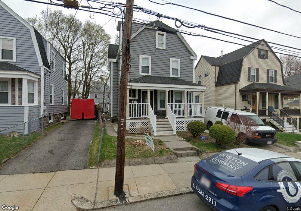
38 Hollingsworth St Mattapan, MA 02126
Southern Mattapan NeighborhoodEstimated Value: $575,000 - $622,057
3
Beds
2
Baths
1,471
Sq Ft
$413/Sq Ft
Est. Value
About This Home
This home is located at 38 Hollingsworth St, Mattapan, MA 02126 and is currently estimated at $607,014, approximately $412 per square foot. 38 Hollingsworth St is a home located in Suffolk County with nearby schools including Boston Preparatory Charter Public School and St. Mary of the Hills School.
Ownership History
Date
Name
Owned For
Owner Type
Purchase Details
Closed on
Nov 14, 2001
Sold by
Kral Ferdinand L
Bought by
Smith Wayne A and Walker Alice M
Current Estimated Value
Home Financials for this Owner
Home Financials are based on the most recent Mortgage that was taken out on this home.
Original Mortgage
$180,500
Outstanding Balance
$70,444
Interest Rate
6.7%
Mortgage Type
Purchase Money Mortgage
Estimated Equity
$536,570
Purchase Details
Closed on
May 19, 1998
Sold by
Cronin Jennie Est
Bought by
Kral Ferdinand L
Create a Home Valuation Report for This Property
The Home Valuation Report is an in-depth analysis detailing your home's value as well as a comparison with similar homes in the area
Home Values in the Area
Average Home Value in this Area
Purchase History
| Date | Buyer | Sale Price | Title Company |
|---|---|---|---|
| Smith Wayne A | $190,000 | -- | |
| Kral Ferdinand L | $35,000 | -- |
Source: Public Records
Mortgage History
| Date | Status | Borrower | Loan Amount |
|---|---|---|---|
| Open | Kral Ferdinand L | $180,500 | |
| Previous Owner | Kral Ferdinand L | $45,000 |
Source: Public Records
Tax History Compared to Growth
Tax History
| Year | Tax Paid | Tax Assessment Tax Assessment Total Assessment is a certain percentage of the fair market value that is determined by local assessors to be the total taxable value of land and additions on the property. | Land | Improvement |
|---|---|---|---|---|
| 2025 | $5,866 | $506,600 | $178,900 | $327,700 |
| 2024 | $5,033 | $461,700 | $176,300 | $285,400 |
| 2023 | $4,720 | $439,500 | $167,800 | $271,700 |
| 2022 | $4,428 | $407,000 | $155,400 | $251,600 |
| 2021 | $3,961 | $371,200 | $148,000 | $223,200 |
| 2020 | $3,914 | $370,600 | $154,700 | $215,900 |
| 2019 | $3,736 | $354,500 | $122,000 | $232,500 |
| 2018 | $3,472 | $331,300 | $122,000 | $209,300 |
| 2017 | $3,133 | $295,800 | $125,300 | $170,500 |
| 2016 | $2,958 | $268,900 | $125,300 | $143,600 |
| 2015 | $2,803 | $231,500 | $103,700 | $127,800 |
| 2014 | $2,671 | $212,300 | $103,700 | $108,600 |
Source: Public Records
Map
Nearby Homes
- 48-50 Rockdale St
- 90 Hollingsworth St
- 770 Cummins Hwy Unit 1
- 770 Cummins Hwy Unit 22
- 10 Brockton St
- 95 Woodhaven St
- 23 Caton St
- 645 River St
- 839-843 Cummins Hwy
- 25 Alpine St Unit 7
- 16 Blue Hill Ave
- 84 Blue Hills Pkwy
- 1465 Blue Hill Ave
- 231 Itasca St
- 20 Massasoit St
- 34 Ridlon Rd
- 27 Hawthorn Rd
- 128 Blue Hills Pkwy
- 96 Brook Rd
- 7 Winborough St
- 34 Hollingsworth St
- 42 Hollingsworth St
- 30 Hollingsworth St
- 30 Hollingsworth St Unit 1
- 46 Hollingsworth St Unit 48
- 37 Rosewood St
- 31 Rosewood St
- 29 Rosewood St
- 28 Hollingsworth St
- 54 Hollingsworth St
- 25 Rosewood St Unit 27
- 35 Hollingsworth St
- 24 Hollingsworth St
- 31 Hollingsworth St
- 39 Rosewood St Unit 1
- 39 Rosewood St
- 27 Hollingsworth St
- 21 Rosewood St
- 58 Hollingsworth St
- 20 Hollingsworth St