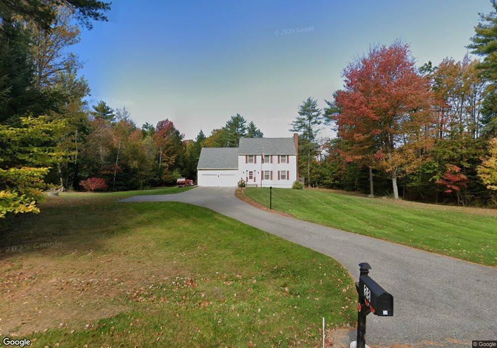
38 Holmes Rd Saco, ME 04072
North Saco NeighborhoodEstimated Value: $582,851 - $640,000
3
Beds
2
Baths
2,100
Sq Ft
$291/Sq Ft
Est. Value
About This Home
This home is located at 38 Holmes Rd, Saco, ME 04072 and is currently estimated at $611,713, approximately $291 per square foot. 38 Holmes Rd is a home located in York County with nearby schools including C K Burns School and Saco Middle School.
Ownership History
Date
Name
Owned For
Owner Type
Purchase Details
Closed on
Jun 2, 2015
Sold by
Papsadora Thomas D and Papsadora Dorothy C
Bought by
Kennedy Kenneth and Kennedy Tisha M
Current Estimated Value
Home Financials for this Owner
Home Financials are based on the most recent Mortgage that was taken out on this home.
Original Mortgage
$228,000
Outstanding Balance
$175,960
Interest Rate
3.65%
Mortgage Type
New Conventional
Estimated Equity
$435,754
Create a Home Valuation Report for This Property
The Home Valuation Report is an in-depth analysis detailing your home's value as well as a comparison with similar homes in the area
Home Values in the Area
Average Home Value in this Area
Purchase History
| Date | Buyer | Sale Price | Title Company |
|---|---|---|---|
| Kennedy Kenneth | -- | -- |
Source: Public Records
Mortgage History
| Date | Status | Borrower | Loan Amount |
|---|---|---|---|
| Open | Kennedy Kenneth | $228,000 |
Source: Public Records
Tax History Compared to Growth
Tax History
| Year | Tax Paid | Tax Assessment Tax Assessment Total Assessment is a certain percentage of the fair market value that is determined by local assessors to be the total taxable value of land and additions on the property. | Land | Improvement |
|---|---|---|---|---|
| 2024 | $6,356 | $452,400 | $152,500 | $299,900 |
| 2023 | $6,673 | $452,400 | $152,500 | $299,900 |
| 2022 | $6,009 | $327,800 | $116,100 | $211,700 |
| 2021 | $5,751 | $304,600 | $104,800 | $199,800 |
| 2020 | $5,462 | $277,700 | $92,200 | $185,500 |
| 2019 | $5,382 | $277,700 | $92,200 | $185,500 |
| 2018 | $5,219 | $269,300 | $83,800 | $185,500 |
| 2017 | $5,130 | $264,700 | $76,800 | $187,900 |
| 2016 | $5,243 | $270,000 | $61,800 | $208,200 |
| 2015 | $4,909 | $255,400 | $60,500 | $194,900 |
| 2014 | $4,409 | $236,800 | $60,500 | $176,300 |
| 2013 | $4,400 | $236,800 | $60,500 | $176,300 |
Source: Public Records
Map
Nearby Homes
- Lot 1 & 2 Memory Ln
- 3 Nonesuch Rd
- 110/009 Mast Hill Rd
- 91 C Broadturn Rd
- 75 Ash Swamp Rd
- 9 Jada Dr
- 5 Marguerite Rd
- 436 Flag Pond Rd
- 74 Hearn Rd
- Lot 72 Martell Way
- 130 Mckenney Rd
- 15 Silver Brook Cir
- 96C Broadturn Rd
- 91 B Broadturn Rd
- 159 Stewart Dr
- 155 Stewart Dr
- 153 Stewart Dr
- 29 Mccann Way Unit 29
- 149 Stewart Dr
- 213 Burnham Rd