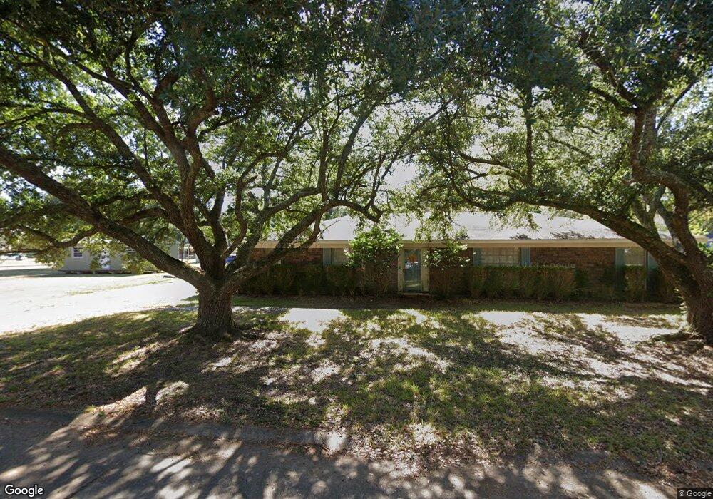
38 Kathy Ln Monroe, LA 71203
Estimated Value: $188,000 - $216,000
4
Beds
2
Baths
2,608
Sq Ft
$78/Sq Ft
Est. Value
About This Home
This home is located at 38 Kathy Ln, Monroe, LA 71203 and is currently estimated at $203,767, approximately $78 per square foot. 38 Kathy Ln is a home located in Ouachita Parish with nearby schools including Jack Hayes Elementary School, Ouachita Junior High School, and Ouachita Parish High School.
Ownership History
Date
Name
Owned For
Owner Type
Purchase Details
Closed on
Jul 21, 2008
Sold by
Johnson Johnny T and Johnson Dolores Wallace
Bought by
First North Louisiana Bancshares Inc
Current Estimated Value
Purchase Details
Closed on
Aug 30, 2007
Sold by
Holloway Charles Edward and Holloway Sandra Carol Wood
Bought by
Greydanus Matthew R and Greydanus Amanda
Home Financials for this Owner
Home Financials are based on the most recent Mortgage that was taken out on this home.
Original Mortgage
$111,200
Interest Rate
6.7%
Mortgage Type
New Conventional
Create a Home Valuation Report for This Property
The Home Valuation Report is an in-depth analysis detailing your home's value as well as a comparison with similar homes in the area
Purchase History
| Date | Buyer | Sale Price | Title Company |
|---|---|---|---|
| First North Louisiana Bancshares Inc | $750,000 | None Available | |
| Greydanus Matthew R | $139,000 | None Available |
Source: Public Records
Mortgage History
| Date | Status | Borrower | Loan Amount |
|---|---|---|---|
| Previous Owner | Greydanus Matthew R | $111,200 |
Source: Public Records
Tax History
| Year | Tax Paid | Tax Assessment Tax Assessment Total Assessment is a certain percentage of the fair market value that is determined by local assessors to be the total taxable value of land and additions on the property. | Land | Improvement |
|---|---|---|---|---|
| 2025 | $1,325 | $16,698 | $1,700 | $14,998 |
| 2024 | $1,325 | $16,698 | $1,700 | $14,998 |
| 2023 | $1,335 | $13,630 | $1,700 | $11,930 |
| 2022 | $1,899 | $13,630 | $1,700 | $11,930 |
| 2021 | $1,915 | $13,630 | $1,700 | $11,930 |
| 2020 | $1,926 | $13,637 | $1,870 | $11,767 |
| 2019 | $1,900 | $13,637 | $1,870 | $11,767 |
| 2018 | $827 | $13,637 | $1,870 | $11,767 |
| 2017 | $1,664 | $12,273 | $1,683 | $10,590 |
| 2016 | $1,362 | $13,636 | $1,870 | $11,766 |
| 2015 | $825 | $13,636 | $1,870 | $11,766 |
| 2014 | $831 | $13,636 | $1,870 | $11,766 |
| 2013 | $839 | $13,636 | $1,870 | $11,766 |
Source: Public Records
Map
Nearby Homes
- 16 Camellia Dr
- 24 Elmwood Dr
- 10 Rosewood Dr
- 31 Azalea Dr
- 55 Magnolia Dr
- 26 Karen Ln
- 308 Woodale Dr Unit 2
- 303 Woodale Dr
- 26 Jana Dr
- 117 Oak Cir
- 37 W Elmwood Dr
- 0 Old Sterlington Rd
- 101 Tulip Wood Dr Unit 1
- 61 W Elmwood Dr
- 256 N Leo Ln
- 311 Birdie Ln
- 292 Birdie Ln
- 000 Stubbs Vinson Rd
- 135 N Leo Ln
- 303 Birdie Ln
Your Personal Tour Guide
Ask me questions while you tour the home.