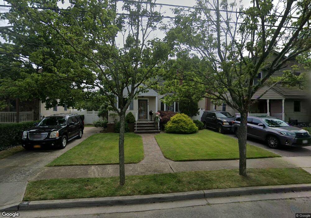
38 Kenny Ave Merrick, NY 11566
Estimated Value: $663,943 - $724,000
--
Bed
1
Bath
1,171
Sq Ft
$593/Sq Ft
Est. Value
About This Home
This home is located at 38 Kenny Ave, Merrick, NY 11566 and is currently estimated at $693,972, approximately $592 per square foot. 38 Kenny Ave is a home located in Nassau County with nearby schools including Burcham Elementary School, Merrick Avenue Middle School, and Waynoka High School.
Ownership History
Date
Name
Owned For
Owner Type
Purchase Details
Closed on
Oct 14, 2009
Sold by
Rizzo Virginia
Bought by
Walter James and Vikse Inga
Current Estimated Value
Home Financials for this Owner
Home Financials are based on the most recent Mortgage that was taken out on this home.
Original Mortgage
$332,000
Interest Rate
5.06%
Mortgage Type
Purchase Money Mortgage
Purchase Details
Closed on
Jul 29, 1997
Sold by
Stone Arthur L
Bought by
Rizzo Virginia
Create a Home Valuation Report for This Property
The Home Valuation Report is an in-depth analysis detailing your home's value as well as a comparison with similar homes in the area
Home Values in the Area
Average Home Value in this Area
Purchase History
| Date | Buyer | Sale Price | Title Company |
|---|---|---|---|
| Walter James | $369,000 | -- | |
| Rizzo Virginia | $151,000 | -- |
Source: Public Records
Mortgage History
| Date | Status | Borrower | Loan Amount |
|---|---|---|---|
| Previous Owner | Walter James | $332,000 |
Source: Public Records
Tax History Compared to Growth
Tax History
| Year | Tax Paid | Tax Assessment Tax Assessment Total Assessment is a certain percentage of the fair market value that is determined by local assessors to be the total taxable value of land and additions on the property. | Land | Improvement |
|---|---|---|---|---|
| 2025 | $10,198 | $372 | $153 | $219 |
| 2024 | $2,600 | $384 | $158 | $226 |
| 2023 | $9,321 | $408 | $168 | $240 |
| 2022 | $9,321 | $391 | $161 | $230 |
| 2021 | $11,062 | $393 | $162 | $231 |
| 2020 | $7,841 | $455 | $454 | $1 |
| 2019 | $7,171 | $488 | $464 | $24 |
| 2018 | $7,234 | $520 | $0 | $0 |
| 2017 | $4,937 | $553 | $467 | $86 |
| 2016 | $7,304 | $585 | $436 | $149 |
| 2015 | $2,452 | $618 | $460 | $158 |
| 2014 | $2,452 | $618 | $460 | $158 |
| 2013 | $2,490 | $663 | $494 | $169 |
Source: Public Records
Map
Nearby Homes
- 217 Bayview Ave
- 1360-1370 Merrick Rd
- 163 Wynsum Ave
- 43 Wynsum Ave
- 72 Lake End Rd
- 45 Henry St
- 110 Hampton Way
- 1945 Byron Rd
- 23 Bay St
- 2770 Lincoln Blvd
- 2810 Wynsum Ave
- 119 Ocean Ave
- 44 Keeler Ave
- 2072 Brighton Way
- 174 Babylon Turnpike
- 2147 Seneca Dr N
- 2729 Shore Dr
- 1825 Alice St
- 2355 Mitchell Place
- 2819 Harbor Rd