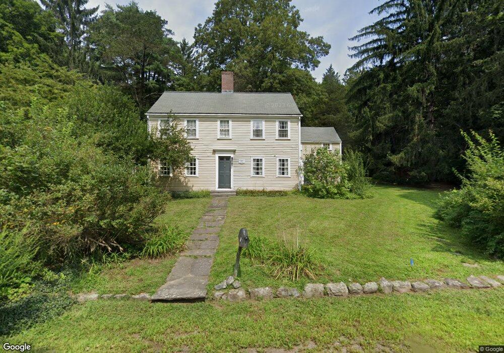
38 King Philip Rd Sudbury, MA 01776
Estimated Value: $750,000 - $1,021,000
4
Beds
2
Baths
1,943
Sq Ft
$476/Sq Ft
Est. Value
About This Home
This home is located at 38 King Philip Rd, Sudbury, MA 01776 and is currently estimated at $925,736, approximately $476 per square foot. 38 King Philip Rd is a home located in Middlesex County with nearby schools including Israel Loring Elementary School, Ephraim Curtis Middle School, and Lincoln-Sudbury Regional High School.
Ownership History
Date
Name
Owned For
Owner Type
Purchase Details
Closed on
Mar 8, 1991
Sold by
Mayo Richard A and Mayo Sara P
Bought by
Hawes Kenneth S and Hawes Linda G
Current Estimated Value
Home Financials for this Owner
Home Financials are based on the most recent Mortgage that was taken out on this home.
Original Mortgage
$122,000
Interest Rate
9.51%
Mortgage Type
Purchase Money Mortgage
Create a Home Valuation Report for This Property
The Home Valuation Report is an in-depth analysis detailing your home's value as well as a comparison with similar homes in the area
Home Values in the Area
Average Home Value in this Area
Purchase History
| Date | Buyer | Sale Price | Title Company |
|---|---|---|---|
| Hawes Kenneth S | $232,000 | -- | |
| Hawes Kenneth S | $232,000 | -- |
Source: Public Records
Mortgage History
| Date | Status | Borrower | Loan Amount |
|---|---|---|---|
| Closed | Hawes Kenneth S | $120,000 | |
| Closed | Hawes Kenneth S | $122,000 |
Source: Public Records
Tax History Compared to Growth
Tax History
| Year | Tax Paid | Tax Assessment Tax Assessment Total Assessment is a certain percentage of the fair market value that is determined by local assessors to be the total taxable value of land and additions on the property. | Land | Improvement |
|---|---|---|---|---|
| 2025 | $12,041 | $822,500 | $460,400 | $362,100 |
| 2024 | $11,637 | $796,500 | $447,600 | $348,900 |
| 2023 | $10,799 | $684,800 | $416,000 | $268,800 |
| 2022 | $10,344 | $573,100 | $383,600 | $189,500 |
| 2021 | $10,891 | $578,400 | $383,600 | $194,800 |
| 2020 | $10,671 | $578,400 | $383,600 | $194,800 |
| 2019 | $10,434 | $582,600 | $383,600 | $199,000 |
| 2018 | $10,554 | $588,600 | $407,600 | $181,000 |
| 2017 | $9,887 | $557,300 | $388,800 | $168,500 |
| 2016 | $9,639 | $541,500 | $374,800 | $166,700 |
| 2015 | $9,228 | $524,300 | $361,200 | $163,100 |
| 2014 | $9,208 | $510,700 | $351,200 | $159,500 |
Source: Public Records
Map
Nearby Homes
- 23 Massasoit Ave
- 36 Concord Rd
- 94 Goodmans Hill Rd
- 216 Landham Rd
- 1011 Boston Post Rd
- 6 Old County Rd Unit 16
- 270 Old Lancaster Rd
- 84 Hopestill Brown Rd
- 24 Woodland Rd
- 0 Wagonwheel Rd
- 128 Nobscot Rd
- 89 Bridle Path
- 63 Landham Rd
- 7 Adams Rd
- 30 Nobscot Rd Unit 14
- 0 Robbins Rd
- 91 Eaton Rd W
- 32 Eaton Rd W
- 12 Hickory Rd
- 19 Nob Hill Dr
- 0 King Philip Rd
- 33 King Philip Rd
- 33 King Philip Rd Unit B
- 14 Massasoit Ave
- 9 Pokonoket Ave
- 29 King Philip Rd
- 10 Pokonoket Ave
- 48 King Philip Rd
- Lot E Indian Ridge
- 11 Massasoit Ave
- 25 King Philip Rd
- 11 Bradley Place
- 7 Bradley Place
- 9 Indian Ridge Rd
- 32 Massasoit Ave
- 22 King Philip Rd
- 54 King Philip Rd
- 306 Boston Post Rd
- 15 Indian Ridge Rd
- 29 Massasoit Ave