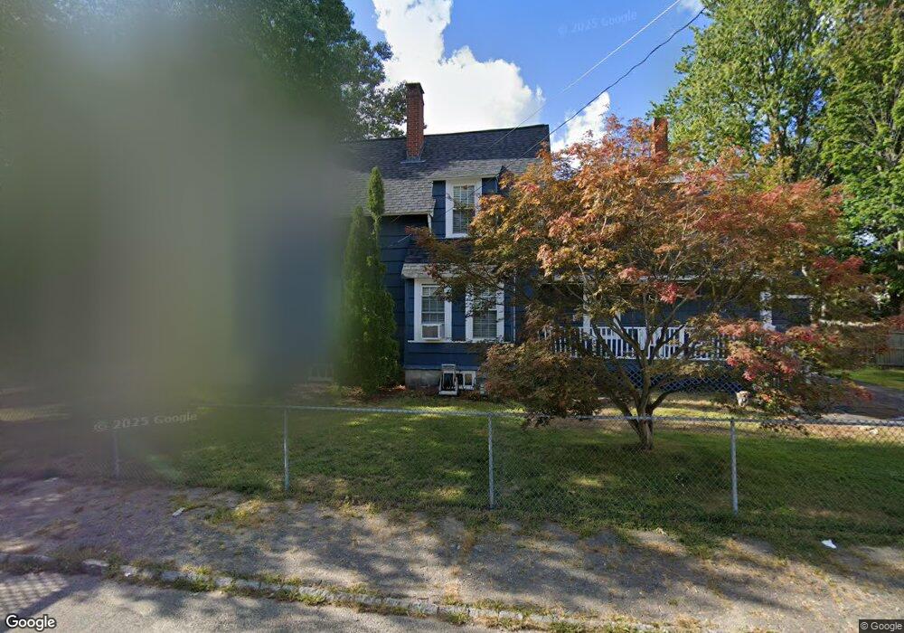
38 Lawrence St Taunton, MA 02780
Whittenton NeighborhoodEstimated Value: $458,015 - $514,000
3
Beds
3
Baths
1,664
Sq Ft
$292/Sq Ft
Est. Value
About This Home
This home is located at 38 Lawrence St, Taunton, MA 02780 and is currently estimated at $485,504, approximately $291 per square foot. 38 Lawrence St is a home located in Bristol County with nearby schools including Benjamin Friedman Middle School, Taunton High School, and Our Lady of Lourdes School.
Ownership History
Date
Name
Owned For
Owner Type
Purchase Details
Closed on
Dec 21, 1987
Sold by
Grady Virginia
Bought by
Windle Nancy J
Current Estimated Value
Home Financials for this Owner
Home Financials are based on the most recent Mortgage that was taken out on this home.
Original Mortgage
$107,000
Interest Rate
10.78%
Mortgage Type
Purchase Money Mortgage
Create a Home Valuation Report for This Property
The Home Valuation Report is an in-depth analysis detailing your home's value as well as a comparison with similar homes in the area
Home Values in the Area
Average Home Value in this Area
Purchase History
| Date | Buyer | Sale Price | Title Company |
|---|---|---|---|
| Windle Nancy J | $113,000 | -- |
Source: Public Records
Mortgage History
| Date | Status | Borrower | Loan Amount |
|---|---|---|---|
| Open | Windle Nancy J | $99,200 | |
| Closed | Windle Nancy J | $107,000 |
Source: Public Records
Tax History Compared to Growth
Tax History
| Year | Tax Paid | Tax Assessment Tax Assessment Total Assessment is a certain percentage of the fair market value that is determined by local assessors to be the total taxable value of land and additions on the property. | Land | Improvement |
|---|---|---|---|---|
| 2025 | $3,922 | $358,500 | $91,500 | $267,000 |
| 2024 | $3,529 | $315,400 | $91,500 | $223,900 |
| 2023 | $3,449 | $286,200 | $91,500 | $194,700 |
| 2022 | $3,296 | $250,100 | $76,200 | $173,900 |
| 2021 | $0 | $222,300 | $69,300 | $153,000 |
| 2020 | $0 | $202,800 | $69,300 | $133,500 |
| 2019 | $0 | $182,400 | $69,300 | $113,100 |
| 2018 | $2,803 | $178,300 | $68,600 | $109,700 |
| 2017 | $0 | $159,500 | $65,100 | $94,400 |
| 2016 | $2,427 | $154,800 | $63,200 | $91,600 |
| 2015 | $2,397 | $159,700 | $64,600 | $95,100 |
| 2014 | $2,294 | $157,000 | $60,500 | $96,500 |
Source: Public Records
Map
Nearby Homes
- 3 4th Ave
- 3 4th Ave Unit 1
- 3 4th Ave Unit 2
- 43 Avon St
- 27 Monroe St
- 28 Madison St
- 12 Oxford St
- 9 Jefferson St
- 0 Whittenton St
- 22 John St Unit 22
- 96 Danforth St Unit 49
- 22 Garfield St
- 6 Makepeace Ave
- 71 Eldridge St
- 214 Eldridge St
- 110 Eldridge St Unit B
- 0 Eldridge St Unit 73454842
- 37 Winter St
- 9 Abbey Ln
- 9 Bradford St
- 36 Lawrence St
- 17 King St
- 34 Lawrence St
- 22 King St
- 22 King St Unit 2
- 15 King St Unit 1
- 15 King St
- 15 King St Unit 2 & 3
- 15 King St Unit 2
- 18 King St
- 37 Lawrence St
- 39 Lawrence St
- 39 Lawrence St
- 32 Lawrence St
- 4 Parkin Ave
- 35 Lawrence St
- 13 King St
- 13 King St Unit 3
- 13 King St Unit 2
- 13 King St Unit 1