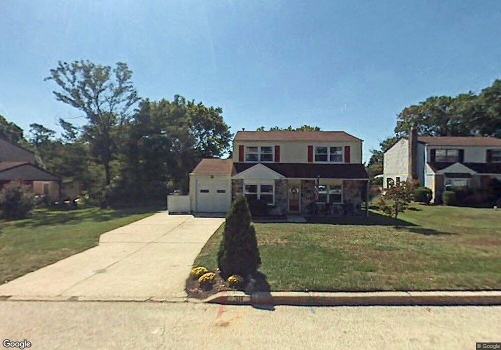
38 Lisa Ln Conshohocken, PA 19428
Estimated Value: $476,000 - $600,000
3
Beds
3
Baths
1,608
Sq Ft
$340/Sq Ft
Est. Value
About This Home
This home is located at 38 Lisa Ln, Conshohocken, PA 19428 and is currently estimated at $547,222, approximately $340 per square foot. 38 Lisa Ln is a home located in Montgomery County with nearby schools including Ridge Park Elementary School, Colonial Elementary School, and Colonial Middle School.
Ownership History
Date
Name
Owned For
Owner Type
Purchase Details
Closed on
Feb 2, 2023
Sold by
Mansfield Timothy and Mansfield Sandra
Bought by
Mansfield Sandra
Current Estimated Value
Purchase Details
Closed on
May 29, 1998
Sold by
Sabia Christopher J and Sabia Suzanne V
Bought by
Mansfield Timothy and Mansfield Sandra
Purchase Details
Closed on
Aug 14, 1997
Sold by
Sabia Christopher J
Bought by
Sabia Christopher J and Sabia Suzanne
Purchase Details
Closed on
Oct 1, 1994
Sold by
Sabia Christopher J and Sabia Donald J
Bought by
Sabia Christopher J
Create a Home Valuation Report for This Property
The Home Valuation Report is an in-depth analysis detailing your home's value as well as a comparison with similar homes in the area
Home Values in the Area
Average Home Value in this Area
Purchase History
| Date | Buyer | Sale Price | Title Company |
|---|---|---|---|
| Mansfield Sandra | -- | None Listed On Document | |
| Mansfield Sandra | -- | None Listed On Document | |
| Mansfield Timothy | $165,000 | -- | |
| Sabia Christopher J | -- | -- | |
| Sabia Christopher J | -- | -- |
Source: Public Records
Tax History Compared to Growth
Tax History
| Year | Tax Paid | Tax Assessment Tax Assessment Total Assessment is a certain percentage of the fair market value that is determined by local assessors to be the total taxable value of land and additions on the property. | Land | Improvement |
|---|---|---|---|---|
| 2025 | $5,175 | $158,920 | $51,590 | $107,330 |
| 2024 | $5,175 | $158,920 | $51,590 | $107,330 |
| 2023 | $4,988 | $158,920 | $51,590 | $107,330 |
| 2022 | $4,874 | $158,920 | $51,590 | $107,330 |
| 2021 | $4,728 | $158,920 | $51,590 | $107,330 |
| 2020 | $4,554 | $158,920 | $51,590 | $107,330 |
| 2019 | $4,419 | $158,920 | $51,590 | $107,330 |
| 2018 | $1,213 | $158,920 | $51,590 | $107,330 |
| 2017 | $4,267 | $158,920 | $51,590 | $107,330 |
| 2016 | $4,206 | $158,920 | $51,590 | $107,330 |
| 2015 | $4,021 | $158,920 | $51,590 | $107,330 |
| 2014 | $4,021 | $158,920 | $51,590 | $107,330 |
Source: Public Records
Map
Nearby Homes
- 2017 Spring Mill Rd
- 117 Karrs Ln
- 1705 Harmon Rd
- 10 Maple Dr
- 1975 West Ave
- 2150 Julia Dr
- 264 Roberts Ave Unit 10
- 2134 Birch Dr
- 25 E Germantown Pike
- 35 White Pine Ct
- 7 Plum Ct
- 1410 Butler Pike
- 1408 Butler Pike
- 4004 School House Ln
- 411 Roberts Ave
- 10 Gum Tree Rd
- 1004 Aspen Ct
- 121 Scarlet Dr
- 4032 Fairway Rd
- 140 W 11th Ave