38 Long Pasture Rd Little Compton, RI 02837
Estimated Value: $1,387,000 - $1,796,000
2
Beds
2
Baths
2,232
Sq Ft
$678/Sq Ft
Est. Value
About This Home
This home is located at 38 Long Pasture Rd, Little Compton, RI 02837 and is currently estimated at $1,513,585, approximately $678 per square foot. 38 Long Pasture Rd is a home located in Newport County with nearby schools including Wilbur & McMahon School.
Ownership History
Date
Name
Owned For
Owner Type
Purchase Details
Closed on
Feb 9, 2023
Sold by
Joseph Anne M and Mcglave Phillip B
Bought by
Philip Mcglave Lt
Current Estimated Value
Purchase Details
Closed on
May 29, 2019
Sold by
Edward W Cissel Lt
Bought by
Joseph Anne M and Mcglave Philip B
Purchase Details
Closed on
Dec 29, 2016
Sold by
Cissel Edward W
Bought by
Edward W Cissel 2016 L
Create a Home Valuation Report for This Property
The Home Valuation Report is an in-depth analysis detailing your home's value as well as a comparison with similar homes in the area
Home Values in the Area
Average Home Value in this Area
Purchase History
| Date | Buyer | Sale Price | Title Company |
|---|---|---|---|
| Philip Mcglave Lt | -- | None Available | |
| Joseph Anne M | $650,000 | -- | |
| Edward W Cissel 2016 L | -- | -- |
Source: Public Records
Mortgage History
| Date | Status | Borrower | Loan Amount |
|---|---|---|---|
| Previous Owner | Edward W Cissel 2016 L | $150,000 | |
| Previous Owner | Edward W Cissel 2016 L | $150,000 |
Source: Public Records
Tax History Compared to Growth
Tax History
| Year | Tax Paid | Tax Assessment Tax Assessment Total Assessment is a certain percentage of the fair market value that is determined by local assessors to be the total taxable value of land and additions on the property. | Land | Improvement |
|---|---|---|---|---|
| 2025 | $6,769 | $1,413,200 | $423,700 | $989,500 |
| 2024 | $6,232 | $1,226,700 | $337,700 | $889,000 |
| 2023 | $6,084 | $1,226,700 | $337,700 | $889,000 |
| 2022 | $5,500 | $1,122,500 | $337,700 | $784,800 |
| 2021 | $3,076 | $509,200 | $281,600 | $227,600 |
| 2020 | $3,147 | $525,400 | $281,600 | $243,800 |
| 2019 | $3,116 | $525,400 | $281,600 | $243,800 |
| 2018 | $2,974 | $499,000 | $255,200 | $243,800 |
| 2016 | $2,829 | $499,000 | $255,200 | $243,800 |
| 2015 | $2,555 | $444,400 | $200,600 | $243,800 |
| 2014 | $2,506 | $444,400 | $200,600 | $243,800 |
Source: Public Records
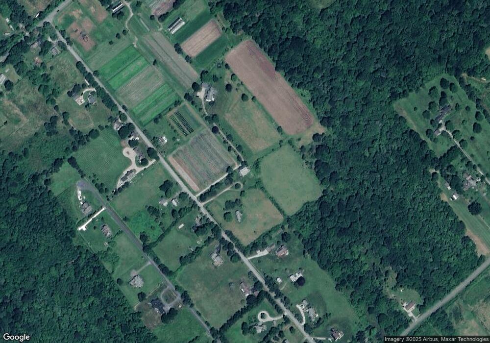
Map
Nearby Homes
- 141 S Of Commons Rd
- 128 Maple Ave
- 18 Old Barn Rd
- 536 W Main Rd
- 189 Brayton Point Rd
- 304 Brayton Point Rd
- 0 Willow Ave
- 441 W Main Rd
- 505 Long Hwy
- 255 John Dyer Rd
- 19 Seabury Ln
- 180 W Main Rd
- 245 John Dyer Rd
- 17 Ferolbink Way
- 155 W Main Rd
- 83 Long Hwy
- 6 June Way
- 116 Amy Hart Path
- 55 W Main Rd
- 515 Indian Ave
- 37 Long Pasture Rd
- 48 Long Pasture Rd
- 45 Long Pasture Rd
- 27 Long Pasture Rd
- 36 Long Pasture Rd
- 54 Long Pasture Rd
- 49 Long Pasture Rd
- 23 Long Pasture Rd
- 25 Long Hwy
- 30 Long Pasture Rd
- 63 Shaw Rd
- 19 Long Pasture Rd
- 55 Long Pasture Rd
- 58 Long Pasture Rd
- 16 Moorings Way
- 24 Moorings Way
- 14 Moorings Way
- 26 Moorings Way
- 61 Long Pasture Rd
- 11 Long Pasture Rd