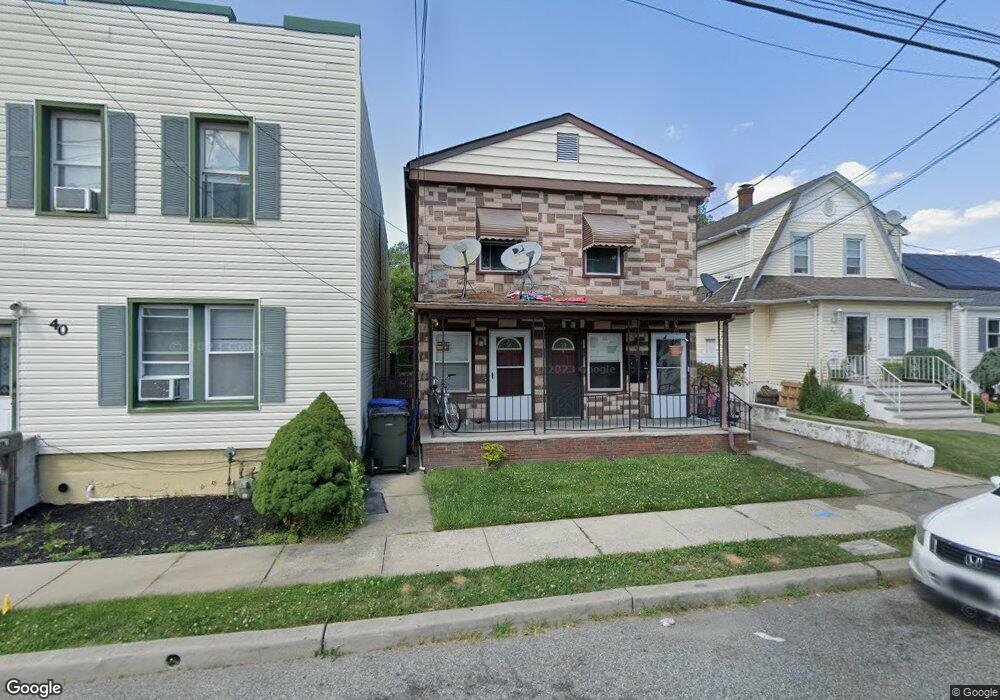
38 Loretta St Perth Amboy, NJ 08861
Estimated Value: $379,543 - $581,000
--
Bed
--
Bath
2,002
Sq Ft
$246/Sq Ft
Est. Value
About This Home
This home is located at 38 Loretta St, Perth Amboy, NJ 08861 and is currently estimated at $492,136, approximately $245 per square foot. 38 Loretta St is a home located in Middlesex County with nearby schools including Port Reading Elementary School, Fords Middle School, and John F. Kennedy Memorial High School.
Ownership History
Date
Name
Owned For
Owner Type
Purchase Details
Closed on
Jul 24, 2025
Sold by
Mathew Johnson and Johnson Shyni
Bought by
Loretta Rental Llc
Current Estimated Value
Home Financials for this Owner
Home Financials are based on the most recent Mortgage that was taken out on this home.
Original Mortgage
$217,750
Outstanding Balance
$217,378
Interest Rate
6.81%
Mortgage Type
New Conventional
Estimated Equity
$274,758
Purchase Details
Closed on
Sep 19, 2008
Sold by
Glendenning Patricia and Christensen Gloria
Bought by
Mathew Johnson and Johnson Shyni
Home Financials for this Owner
Home Financials are based on the most recent Mortgage that was taken out on this home.
Original Mortgage
$231,000
Interest Rate
6.43%
Mortgage Type
Purchase Money Mortgage
Create a Home Valuation Report for This Property
The Home Valuation Report is an in-depth analysis detailing your home's value as well as a comparison with similar homes in the area
Home Values in the Area
Average Home Value in this Area
Purchase History
| Date | Buyer | Sale Price | Title Company |
|---|---|---|---|
| Loretta Rental Llc | -- | None Listed On Document | |
| Loretta Rental Llc | -- | None Listed On Document | |
| Mathew Johnson | $297,500 | None Available |
Source: Public Records
Mortgage History
| Date | Status | Borrower | Loan Amount |
|---|---|---|---|
| Open | Loretta Rental Llc | $217,750 | |
| Closed | Loretta Rental Llc | $217,750 | |
| Previous Owner | Mathew Johnson | $231,000 |
Source: Public Records
Tax History Compared to Growth
Tax History
| Year | Tax Paid | Tax Assessment Tax Assessment Total Assessment is a certain percentage of the fair market value that is determined by local assessors to be the total taxable value of land and additions on the property. | Land | Improvement |
|---|---|---|---|---|
| 2025 | $8,933 | $70,400 | $16,600 | $53,800 |
| 2024 | $8,709 | $70,400 | $16,600 | $53,800 |
| 2023 | $8,709 | $70,400 | $16,600 | $53,800 |
| 2022 | $8,459 | $70,400 | $16,600 | $53,800 |
| 2021 | $8,455 | $70,400 | $16,600 | $53,800 |
| 2020 | $8,163 | $70,400 | $16,600 | $53,800 |
| 2019 | $7,966 | $70,400 | $16,600 | $53,800 |
| 2018 | $7,787 | $70,400 | $16,600 | $53,800 |
| 2017 | $7,642 | $70,400 | $16,600 | $53,800 |
| 2016 | $7,565 | $70,400 | $16,600 | $53,800 |
| 2015 | $7,429 | $70,400 | $16,600 | $53,800 |
| 2014 | $7,234 | $70,400 | $16,600 | $53,800 |
Source: Public Records
Map
Nearby Homes
- 49 Loretta St
- 6 Worden Ave
- 490 Mckeon St
- 71 Pennsylvania Ave
- 685 Raritan Ave
- 133 Howard St
- 16 Emmett Ave
- 164 Pennsylvania Ave
- 693 Hanson Ave
- 670 Columbus Cir
- 35 Dayna Ct
- 773 Colgate Ave
- 745 Lee St
- 552 Compton Ave
- 29 S Columbus Ave
- 59 Greenbrook Ave
- 47 Harned Ave
- 59 Douglas St
- 448 Baker Place
- 720 Donald Ave