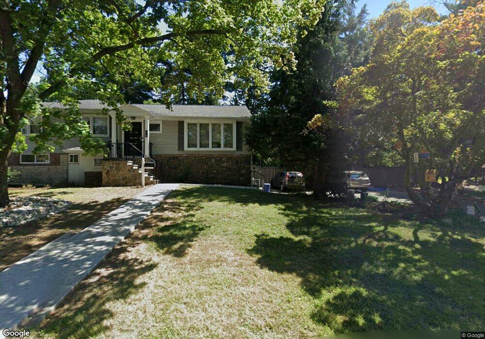
38 Manger Rd Unit 40 West Orange, NJ 07052
Estimated Value: $642,047 - $821,000
--
Bed
--
Bath
2,212
Sq Ft
$333/Sq Ft
Est. Value
About This Home
This home is located at 38 Manger Rd Unit 40, West Orange, NJ 07052 and is currently estimated at $737,512, approximately $333 per square foot. 38 Manger Rd Unit 40 is a home located in Essex County with nearby schools including West Orange High School, Golda Och Academy, and Mount Carmel Guild High School.
Ownership History
Date
Name
Owned For
Owner Type
Purchase Details
Closed on
Jan 26, 2011
Sold by
Prendergast Leslie A and Carter Cathy S
Bought by
Prendergast Leslie A
Current Estimated Value
Home Financials for this Owner
Home Financials are based on the most recent Mortgage that was taken out on this home.
Original Mortgage
$265,000
Outstanding Balance
$181,849
Interest Rate
4.84%
Mortgage Type
New Conventional
Estimated Equity
$555,663
Purchase Details
Closed on
Jul 29, 2008
Sold by
Schaefer Gudrun M
Bought by
Prendergast Leslie A and Carter Cathy S
Home Financials for this Owner
Home Financials are based on the most recent Mortgage that was taken out on this home.
Original Mortgage
$261,000
Interest Rate
6.47%
Mortgage Type
Purchase Money Mortgage
Create a Home Valuation Report for This Property
The Home Valuation Report is an in-depth analysis detailing your home's value as well as a comparison with similar homes in the area
Home Values in the Area
Average Home Value in this Area
Purchase History
| Date | Buyer | Sale Price | Title Company |
|---|---|---|---|
| Prendergast Leslie A | -- | New Jersey Title Ins Co | |
| Prendergast Leslie A | $355,000 | Nrt Title Agency Llc |
Source: Public Records
Mortgage History
| Date | Status | Borrower | Loan Amount |
|---|---|---|---|
| Open | Prendergast Leslie A | $265,000 | |
| Closed | Prendergast Leslie A | $261,000 |
Source: Public Records
Tax History Compared to Growth
Tax History
| Year | Tax Paid | Tax Assessment Tax Assessment Total Assessment is a certain percentage of the fair market value that is determined by local assessors to be the total taxable value of land and additions on the property. | Land | Improvement |
|---|---|---|---|---|
| 2025 | $14,065 | $604,000 | $255,800 | $348,200 |
| 2024 | $14,065 | $305,900 | $149,700 | $156,200 |
| 2022 | $13,573 | $305,900 | $149,700 | $156,200 |
| 2021 | $13,319 | $305,900 | $149,700 | $156,200 |
| 2020 | $13,105 | $305,900 | $149,700 | $156,200 |
| 2019 | $12,729 | $305,900 | $149,700 | $156,200 |
| 2018 | $12,352 | $305,900 | $149,700 | $156,200 |
| 2017 | $12,193 | $305,900 | $149,700 | $156,200 |
| 2016 | $11,900 | $305,900 | $149,700 | $156,200 |
| 2015 | $11,676 | $305,900 | $149,700 | $156,200 |
| 2014 | $11,447 | $305,900 | $149,700 | $156,200 |
Source: Public Records
Map
Nearby Homes
- 29 Carolina Ave
- 33 Mcguire Dr
- 27 Morris Rd
- 28 Mcguire Dr
- 75 Nance Rd
- 863 Pleasant Valley Way
- 29 Crestmont Rd
- 26 Crestmont Rd
- 18 Belle Terre Rd
- 11 Buckingham Rd
- 7 Cheshire Terrace
- 7 Buckingham Rd
- 7 Wessman Dr
- 163 Marion Dr
- 149 Marion Dr
- 173 Marion Dr
- 149 Marion Dr Unit 145
- 145 Marion Dr Unit 145
- 18 Sunnyside Rd
- 12 Chelsea Dr