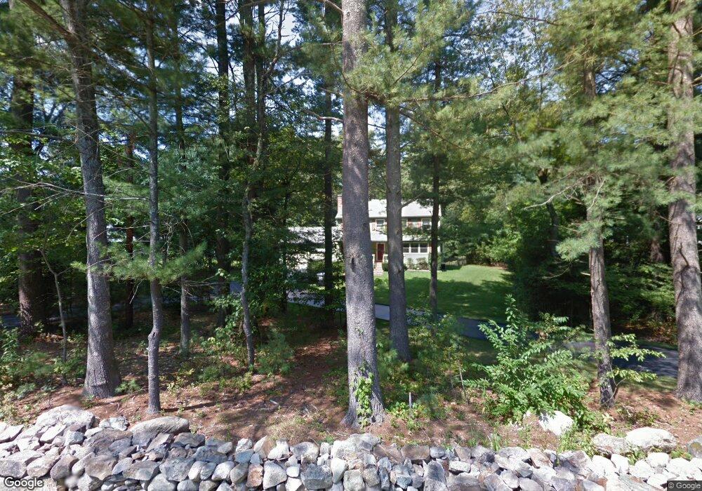
38 Maple St Norfolk, MA 02056
Estimated Value: $754,857 - $881,000
4
Beds
3
Baths
1,983
Sq Ft
$407/Sq Ft
Est. Value
About This Home
This home is located at 38 Maple St, Norfolk, MA 02056 and is currently estimated at $807,964, approximately $407 per square foot. 38 Maple St is a home located in Norfolk County with nearby schools including H. Olive Day School, Freeman-Kennedy School, and Woodside Montessori Academy.
Ownership History
Date
Name
Owned For
Owner Type
Purchase Details
Closed on
Aug 29, 1997
Sold by
Gremillion Lee L and Gremillion Kathy A
Bought by
Sebastiano Ellen A and Sebastiano Joseph
Current Estimated Value
Home Financials for this Owner
Home Financials are based on the most recent Mortgage that was taken out on this home.
Original Mortgage
$182,400
Outstanding Balance
$28,118
Interest Rate
7.41%
Mortgage Type
Purchase Money Mortgage
Estimated Equity
$779,846
Purchase Details
Closed on
Jun 17, 1993
Sold by
Titus William M and Titus Sherena D
Bought by
Gremillion Lee L and Gremillion Kathy A
Home Financials for this Owner
Home Financials are based on the most recent Mortgage that was taken out on this home.
Original Mortgage
$172,000
Interest Rate
7.38%
Mortgage Type
Purchase Money Mortgage
Create a Home Valuation Report for This Property
The Home Valuation Report is an in-depth analysis detailing your home's value as well as a comparison with similar homes in the area
Home Values in the Area
Average Home Value in this Area
Purchase History
| Date | Buyer | Sale Price | Title Company |
|---|---|---|---|
| Sebastiano Ellen A | $228,000 | -- | |
| Gremillion Lee L | $215,000 | -- | |
| Sebastiano Ellen A | $228,000 | -- | |
| Gremillion Lee L | $215,000 | -- |
Source: Public Records
Mortgage History
| Date | Status | Borrower | Loan Amount |
|---|---|---|---|
| Open | Gremillion Lee L | $182,400 | |
| Closed | Gremillion Lee L | $182,400 | |
| Previous Owner | Gremillion Lee L | $172,000 |
Source: Public Records
Tax History
| Year | Tax Paid | Tax Assessment Tax Assessment Total Assessment is a certain percentage of the fair market value that is determined by local assessors to be the total taxable value of land and additions on the property. | Land | Improvement |
|---|---|---|---|---|
| 2025 | $10,173 | $637,000 | $214,700 | $422,300 |
| 2024 | $9,632 | $618,600 | $216,600 | $402,000 |
| 2023 | $9,277 | $565,300 | $216,600 | $348,700 |
| 2022 | $8,736 | $480,000 | $203,000 | $277,000 |
| 2021 | $8,436 | $468,900 | $197,000 | $271,900 |
| 2020 | $8,470 | $454,400 | $179,000 | $275,400 |
| 2019 | $8,161 | $446,200 | $179,000 | $267,200 |
| 2018 | $7,848 | $421,500 | $179,000 | $242,500 |
| 2017 | $7,736 | $424,600 | $179,000 | $245,600 |
| 2016 | $7,588 | $419,700 | $179,000 | $240,700 |
| 2015 | $7,320 | $414,500 | $170,700 | $243,800 |
| 2014 | $7,073 | $405,800 | $170,700 | $235,100 |
Source: Public Records
Map
Nearby Homes
- 45 Joshua Rd
- 23 Fredrickson Rd
- 19 Waites Crossing
- 13 Waites Crossing
- 50 Reed Fulton Ave Unit Lot 61
- 14 Waites Crossing
- 9 Elliot Mills Unit 5
- 8 Elliot Mills Unit 30
- 5 Elliot Mills Unit 3
- 7 Elliot Mills Unit 4
- 10 Elliot Mills Unit 29
- 287 Park St
- 246 Forest Grove Ave
- 0 Toils End Rd
- 8 Ridgefield Rd
- 7 Keeney Pond Rd
- 0 W Birch Rd
- 292 Main St
- 16 Keeney Pond Rd
- 500 Franklin St
Your Personal Tour Guide
Ask me questions while you tour the home.