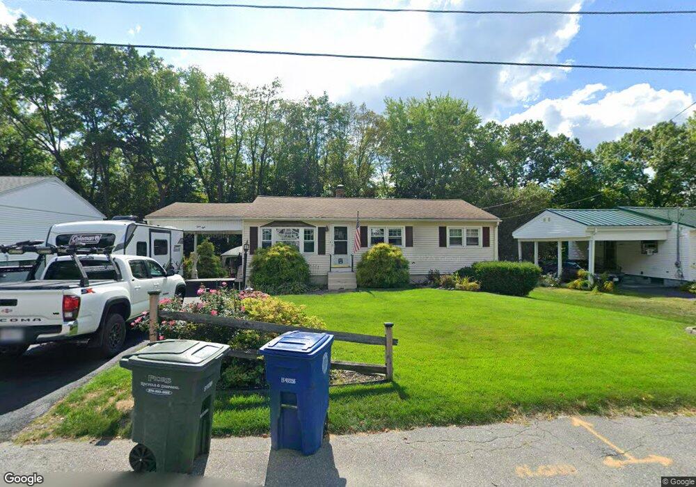
38 Marshall St Leominster, MA 01453
Estimated Value: $400,000 - $503,000
3
Beds
2
Baths
1,120
Sq Ft
$397/Sq Ft
Est. Value
About This Home
This home is located at 38 Marshall St, Leominster, MA 01453 and is currently estimated at $444,522, approximately $396 per square foot. 38 Marshall St is a home located in Worcester County with nearby schools including Leominster High School, St. Leo School, and St. Anna Catholic School.
Ownership History
Date
Name
Owned For
Owner Type
Purchase Details
Closed on
Dec 12, 2024
Sold by
Wysk Stephen D and Wysk Laurie J
Bought by
Wysk Ft Of 2024 and Wysk
Current Estimated Value
Purchase Details
Closed on
May 28, 1999
Sold by
Lepage Michael D
Bought by
Wysk Stephen D and Wysk Laurie J
Purchase Details
Closed on
Jan 27, 1995
Sold by
Est Iacoboni Michael and Iacoboni Dennis M
Bought by
Lepage Michael D and Galluzzo Jane
Create a Home Valuation Report for This Property
The Home Valuation Report is an in-depth analysis detailing your home's value as well as a comparison with similar homes in the area
Home Values in the Area
Average Home Value in this Area
Purchase History
| Date | Buyer | Sale Price | Title Company |
|---|---|---|---|
| Wysk Ft Of 2024 | -- | None Available | |
| Wysk Ft Of 2024 | -- | None Available | |
| Wysk Stephen D | $114,900 | -- | |
| Lepage Michael D | $86,500 | -- | |
| Wysk Stephen D | $114,900 | -- | |
| Lepage Michael D | $86,500 | -- |
Source: Public Records
Mortgage History
| Date | Status | Borrower | Loan Amount |
|---|---|---|---|
| Previous Owner | Lepage Michael D | $143,500 | |
| Previous Owner | Lepage Michael D | $126,200 | |
| Previous Owner | Lepage Michael D | $17,000 |
Source: Public Records
Tax History Compared to Growth
Tax History
| Year | Tax Paid | Tax Assessment Tax Assessment Total Assessment is a certain percentage of the fair market value that is determined by local assessors to be the total taxable value of land and additions on the property. | Land | Improvement |
|---|---|---|---|---|
| 2025 | $5,087 | $362,600 | $118,400 | $244,200 |
| 2024 | $4,901 | $337,800 | $112,700 | $225,100 |
| 2023 | $4,788 | $308,100 | $98,000 | $210,100 |
| 2022 | $4,595 | $277,500 | $85,200 | $192,300 |
| 2021 | $6,629 | $238,100 | $66,300 | $171,800 |
| 2020 | $4,103 | $228,200 | $66,300 | $161,900 |
| 2019 | $6,533 | $211,400 | $63,100 | $148,300 |
| 2018 | $5,866 | $197,600 | $61,300 | $136,300 |
| 2017 | $3,583 | $181,600 | $57,300 | $124,300 |
| 2016 | $3,438 | $175,600 | $57,300 | $118,300 |
| 2015 | $3,266 | $168,000 | $57,300 | $110,700 |
| 2014 | $3,007 | $159,200 | $60,500 | $98,700 |
Source: Public Records
Map
Nearby Homes
- 593 Main St Unit SL4
- 66 Hamilton St Unit 3
- 146 Sacramento Dr
- 57 Liberty St Unit 2
- 36 Sunrise Ave
- 14 Fernwood Dr Unit D
- 11 Rosewood Dr
- 17 Fernwood Dr Unit G
- 36 Fox Meadow Rd Unit A
- 17 Fernwood Dr Unit D
- 51 Fox Meadow Rd Unit C
- 55 Fox Meadow Rd Unit H
- 32 Fox Meadow Rd Unit E
- 12 Whitman St Unit 12
- 54 Green St Unit 119
- 291 Joslin St
- 75 Dale Ave
- 1018 Main St
- 12 Lindell Ave
- 58 4th St
- 44 Marshall St
- 34 Marshall St
- 46 Marshall St
- 26 Marshall St
- 31 Marshall St
- 37 Marshall St
- 47 Marshall St
- 20 Marshall St
- 41 Hamilton St Unit 18
- 41 Hamilton St Unit 17
- 41 Hamilton St Unit 16
- 41 Hamilton St Unit 15
- 41 Hamilton St Unit 14
- 41 Hamilton St Unit 13
- 41 Hamilton St Unit 18 41
- 41 Hamilton St Unit 15 41
- 12 Marshall St
- 22 Marcello Ave
- 30 Marcello Ave Unit 9A
- 30 Marcello Ave Unit 8A