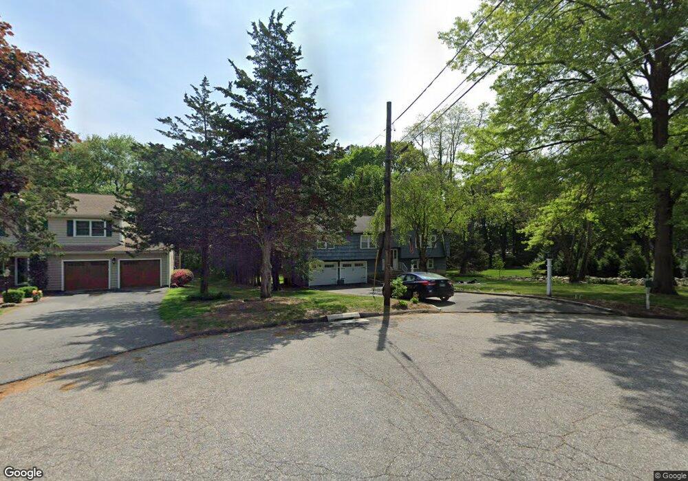
38 May Cir Trumbull, CT 06611
Daniel Farm District NeighborhoodEstimated Value: $605,000 - $730,000
3
Beds
3
Baths
1,716
Sq Ft
$401/Sq Ft
Est. Value
About This Home
This home is located at 38 May Cir, Trumbull, CT 06611 and is currently estimated at $687,718, approximately $400 per square foot. 38 May Cir is a home located in Fairfield County with nearby schools including Daniels Farm School, Hillcrest Middle School, and Trumbull High School.
Ownership History
Date
Name
Owned For
Owner Type
Purchase Details
Closed on
Mar 29, 2024
Sold by
Spezzano Terry P and Spezzano Lisa M
Bought by
P T
Current Estimated Value
Purchase Details
Closed on
Jul 19, 1996
Sold by
Presti Philip and Presti Nancy J
Bought by
Spezzano Terry P and Spezzano Lisa M
Create a Home Valuation Report for This Property
The Home Valuation Report is an in-depth analysis detailing your home's value as well as a comparison with similar homes in the area
Home Values in the Area
Average Home Value in this Area
Purchase History
| Date | Buyer | Sale Price | Title Company |
|---|---|---|---|
| P T | -- | None Available | |
| P T | -- | None Available | |
| Spezzano Terry P | $230,000 | -- | |
| Spezzano Terry P | $230,000 | -- |
Source: Public Records
Mortgage History
| Date | Status | Borrower | Loan Amount |
|---|---|---|---|
| Previous Owner | Spezzano Terry P | $201,000 | |
| Previous Owner | Spezzano Terry P | $100,000 | |
| Previous Owner | Spezzano Terry P | $142,000 |
Source: Public Records
Tax History
| Year | Tax Paid | Tax Assessment Tax Assessment Total Assessment is a certain percentage of the fair market value that is determined by local assessors to be the total taxable value of land and additions on the property. | Land | Improvement |
|---|---|---|---|---|
| 2025 | $11,477 | $310,870 | $160,860 | $150,010 |
| 2024 | $11,163 | $310,870 | $160,860 | $150,010 |
| 2023 | $10,983 | $310,870 | $160,860 | $150,010 |
| 2022 | $10,807 | $310,870 | $160,860 | $150,010 |
| 2021 | $5,857 | $266,980 | $146,440 | $120,540 |
| 2020 | $9,571 | $266,980 | $146,440 | $120,540 |
| 2018 | $5,857 | $266,980 | $146,440 | $120,540 |
| 2017 | $9,147 | $266,980 | $146,440 | $120,540 |
| 2016 | $8,963 | $266,980 | $146,440 | $120,540 |
| 2015 | $9,169 | $270,000 | $146,500 | $123,500 |
| 2014 | $8,972 | $270,000 | $146,500 | $123,500 |
Source: Public Records
Map
Nearby Homes
- 699 Daniels Farm Rd
- 15 Squire Ct
- 15 Glenarden Rd
- 10 Doe Hollow Dr
- 2 Doe Hollow Dr
- 184 Putting Green Rd
- 43 Woodmere Dr
- 176 Strobel Rd
- 93 Putting Green Rd N
- 244 Strobel Rd
- 97 Greenbrier Rd
- 15 Coral Dr
- Lot 31 Valley View Rd
- 0 Pinewood Trail
- 35 Greenfield Dr
- 68 Old Dike Rd
- 121 Lewis Rd
- 23 Federal Rd
- 58 Daniels Farm Rd
- 38 Macdonald Rd
- 42 May Cir
- 32 Mayflower Dr
- 23 Old Orchard Ln
- 9 Old Orchard Ln
- 14 Fairway Ln
- 20 Fairway Ln
- 26 Fairway Ln
- 50 Country Club Rd
- 14 Old Orchard Ln
- 31 Mayflower Dr
- 20 Old Orchard Ln
- 39 Mayflower Dr
- 16 Mayflower Dr
- 35 Country Club Rd
- 23 Mayflower Dr
- 41 Country Club Rd
- 27 Country Club Rd
- 25 Fairway Ln
- 49 Country Club Rd
- 47 Strobel Rd
Your Personal Tour Guide
Ask me questions while you tour the home.