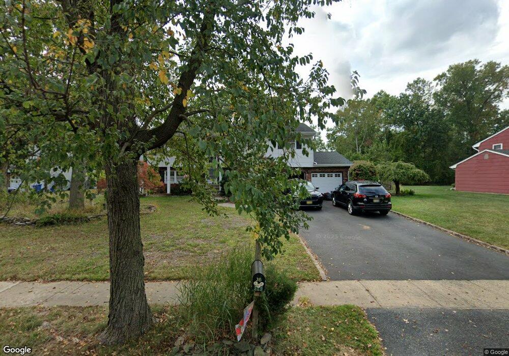
38 Mill Brook Rd Piscataway, NJ 08854
Estimated Value: $680,615 - $858,000
Studio
--
Bath
2,316
Sq Ft
$330/Sq Ft
Est. Value
About This Home
This home is located at 38 Mill Brook Rd, Piscataway, NJ 08854 and is currently estimated at $763,904, approximately $329 per square foot. 38 Mill Brook Rd is a home located in Middlesex County with nearby schools including Grandview Elementary School, Arbor Intermediate School, and Theodore Schor Middle School.
Ownership History
Date
Name
Owned For
Owner Type
Purchase Details
Closed on
Jan 11, 2023
Sold by
Ovsiew Steven D and Ovsiew Jean
Bought by
Ovsiew Steven D and Dudash-Ovsiew Jean
Current Estimated Value
Purchase Details
Closed on
Jul 24, 1998
Sold by
Dayput Enerito
Bought by
Ovsiew Steven and Ovsiew Jean Dudash
Home Financials for this Owner
Home Financials are based on the most recent Mortgage that was taken out on this home.
Original Mortgage
$139,000
Interest Rate
6.92%
Create a Home Valuation Report for This Property
The Home Valuation Report is an in-depth analysis detailing your home's value as well as a comparison with similar homes in the area
Home Values in the Area
Average Home Value in this Area
Purchase History
| Date | Buyer | Sale Price | Title Company |
|---|---|---|---|
| Ovsiew Steven D | -- | -- | |
| Ovsiew Steven | $184,000 | -- |
Source: Public Records
Mortgage History
| Date | Status | Borrower | Loan Amount |
|---|---|---|---|
| Previous Owner | Ovsiew Steven | $139,000 |
Source: Public Records
Tax History
| Year | Tax Paid | Tax Assessment Tax Assessment Total Assessment is a certain percentage of the fair market value that is determined by local assessors to be the total taxable value of land and additions on the property. | Land | Improvement |
|---|---|---|---|---|
| 2025 | $9,884 | $635,100 | $298,100 | $337,000 |
| 2024 | $9,537 | $512,100 | $192,300 | $319,800 |
| 2023 | $9,537 | $461,600 | $192,300 | $269,300 |
| 2022 | $9,305 | $418,000 | $192,300 | $225,700 |
| 2021 | $9,266 | $399,900 | $192,300 | $207,600 |
| 2020 | $9,005 | $389,500 | $192,300 | $197,200 |
| 2019 | $9,165 | $389,500 | $192,300 | $197,200 |
| 2018 | $8,850 | $377,900 | $192,300 | $185,600 |
| 2017 | $9,147 | $337,400 | $162,300 | $175,100 |
| 2016 | $8,982 | $337,400 | $162,300 | $175,100 |
| 2015 | $8,847 | $292,000 | $162,300 | $129,700 |
| 2014 | $7,487 | $292,000 | $162,300 | $129,700 |
Source: Public Records
Map
Nearby Homes
- 37 E Burgess Dr
- 2 Hendrick Place
- 21 Dahlia Ct
- 116 Doyle St
- 316 Ventnor Ct
- 23 Howell Ave
- 3 Lily Ln
- 247 Adams St
- 96 Dupont Ave
- 268 Dorset Ct
- 125 Exeter Ct
- 6 Wilton Ave
- 160 Grandview Ave
- 93 Vera St
- 24 Old New Brunswick Rd
- 712 Lorhan Dr Unit 7712
- 35 Murray Ave
- 61 Parkside Ave
- 286 William St
- 36 Lehigh Ave
- 42 Mill Brook Rd
- 34 Mill Brook Rd
- 177 Dunn Ave
- 30 Mill Brook Rd
- 32 Spear St
- 31 Mill Brook Rd
- 185 Dunn Ave
- 182 Dunn Ave
- 36 Spear St
- 41 Mill Brook Rd
- 26 Mill Brook Rd
- 184 Dunn Ave Unit 33
- 184 Dunn Ave
- 45 Mill Brook Rd
- 191 Dunn Ave
- 21 Mill Brook Rd
- 40 Spear St
- 22 Mill Brook Rd
- 186 Dunn Ave
- 183 Blackford Ave
Your Personal Tour Guide
Ask me questions while you tour the home.