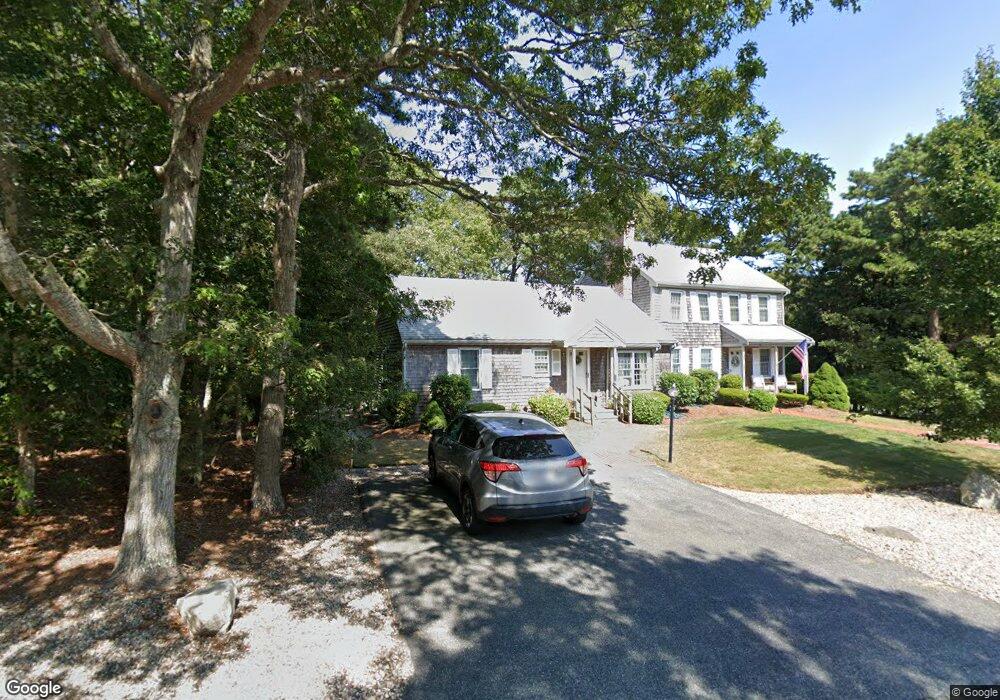
38 Miriah Dr Yarmouth Port, MA 02675
Yarmouth Port NeighborhoodEstimated Value: $356,554 - $459,000
2
Beds
1
Bath
960
Sq Ft
$433/Sq Ft
Est. Value
About This Home
This home is located at 38 Miriah Dr, Yarmouth Port, MA 02675 and is currently estimated at $415,639, approximately $432 per square foot. 38 Miriah Dr is a home located in Barnstable County with nearby schools including Dennis-Yarmouth Regional High School and St. Pius X. School.
Ownership History
Date
Name
Owned For
Owner Type
Purchase Details
Closed on
Aug 14, 2015
Sold by
Fuss Joanne L
Bought by
Christo Tana M
Current Estimated Value
Home Financials for this Owner
Home Financials are based on the most recent Mortgage that was taken out on this home.
Original Mortgage
$164,000
Outstanding Balance
$129,204
Interest Rate
4.08%
Mortgage Type
New Conventional
Estimated Equity
$286,435
Purchase Details
Closed on
Oct 6, 2010
Sold by
Joel Camille M
Bought by
Fuss Joanne L
Purchase Details
Closed on
Feb 6, 2004
Sold by
Grossack Eunice R
Bought by
Joel Camille M
Home Financials for this Owner
Home Financials are based on the most recent Mortgage that was taken out on this home.
Original Mortgage
$150,000
Interest Rate
5.8%
Mortgage Type
Purchase Money Mortgage
Purchase Details
Closed on
Oct 30, 1998
Sold by
Branagan Jeanne Stone and Stone Steven J
Bought by
Grossack Alexander
Create a Home Valuation Report for This Property
The Home Valuation Report is an in-depth analysis detailing your home's value as well as a comparison with similar homes in the area
Home Values in the Area
Average Home Value in this Area
Purchase History
| Date | Buyer | Sale Price | Title Company |
|---|---|---|---|
| Christo Tana M | $205,000 | -- | |
| Fuss Joanne L | $194,000 | -- | |
| Joel Camille M | $207,000 | -- | |
| Grossack Alexander | $81,000 | -- |
Source: Public Records
Mortgage History
| Date | Status | Borrower | Loan Amount |
|---|---|---|---|
| Open | Christo Tana M | $164,000 | |
| Previous Owner | Grossack Alexander | $150,000 | |
| Previous Owner | Grossack Alexander | $26,000 | |
| Previous Owner | Grossack Alexander | $78,000 | |
| Previous Owner | Grossack Alexander | $15,000 |
Source: Public Records
Tax History Compared to Growth
Tax History
| Year | Tax Paid | Tax Assessment Tax Assessment Total Assessment is a certain percentage of the fair market value that is determined by local assessors to be the total taxable value of land and additions on the property. | Land | Improvement |
|---|---|---|---|---|
| 2025 | $2,252 | $318,100 | $0 | $318,100 |
| 2024 | $2,466 | $334,200 | $0 | $334,200 |
| 2023 | $2,451 | $302,200 | $0 | $302,200 |
| 2022 | $1,984 | $216,100 | $0 | $216,100 |
| 2021 | $2,118 | $221,500 | $0 | $221,500 |
| 2020 | $2,240 | $224,000 | $0 | $224,000 |
| 2019 | $1,990 | $197,000 | $0 | $197,000 |
| 2018 | $1,958 | $190,300 | $0 | $190,300 |
| 2017 | $1,885 | $188,100 | $0 | $188,100 |
| 2016 | $1,679 | $168,200 | $0 | $168,200 |
| 2015 | $1,671 | $166,400 | $0 | $166,400 |
Source: Public Records
Map
Nearby Homes
- 16 Warren Rd Unit 16
- 16 Warren Rd
- 8 Rowley Ln
- 0 Forsyth Ave
- 32 Deveau Ln
- 68 Seminole Dr
- 176 Beacon St
- 33 Sparrow Way
- 209 Union St
- 72 Quartermaster Row
- 4 Old Colony Way
- 76 Captain Chase Rd
- 1 Barnacle Rd
- 10 Upton Rd
- 17 Trowbridge Path
- 97 Captain Bacon Rd
- 882 W Yarmouth Rd
- 49 Captain Besse Rd
- 86 Pompano Rd
- 50 Cottonwood St
- 36 Miriah Dr
- 38 Miriah Dr Unit 24A
- 38 Miriah Dr Unit 38
- 22 S Warren Unit 30B
- 11 Warren Rd
- 9 Warren Rd
- 9 Warren Rd Unit 2
- 9 Warren Rd Unit 9
- 9 Warren Rd Unit 25A
- 33 Miriah Dr
- 44 Miriah Dr
- 31 Miriah Dr
- 31 Miriah Dr Unit 31
- 42 Miriah Dr
- 4 Warren Rd
- 6 Warren Rd
- 4 Warren Rd Unit 4
- 4 Warren Rd Unit 32B
- 4 Warren Rd Unit B32
- 37 Miriah Dr