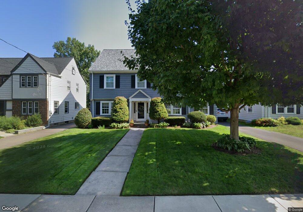
38 Montclair Dr West Hartford, CT 06107
Estimated Value: $746,000 - $808,000
4
Beds
3
Baths
2,456
Sq Ft
$315/Sq Ft
Est. Value
About This Home
This home is located at 38 Montclair Dr, West Hartford, CT 06107 and is currently estimated at $774,728, approximately $315 per square foot. 38 Montclair Dr is a home located in Hartford County with nearby schools including Bugbee School, King Philip Middle School, and Hall High School.
Ownership History
Date
Name
Owned For
Owner Type
Purchase Details
Closed on
Apr 29, 1994
Sold by
Mcintyre Timothy and Mcintrye Eileen
Bought by
Hutchings Gregory and Hutchings Janice
Current Estimated Value
Purchase Details
Closed on
Jun 8, 1989
Sold by
Green Thomas
Bought by
Mcintyre Timothy
Create a Home Valuation Report for This Property
The Home Valuation Report is an in-depth analysis detailing your home's value as well as a comparison with similar homes in the area
Home Values in the Area
Average Home Value in this Area
Purchase History
| Date | Buyer | Sale Price | Title Company |
|---|---|---|---|
| Hutchings Gregory | $250,000 | -- | |
| Mcintyre Timothy | $220,000 | -- |
Source: Public Records
Mortgage History
| Date | Status | Borrower | Loan Amount |
|---|---|---|---|
| Closed | Mcintyre Timothy | $200,000 | |
| Closed | Mcintyre Timothy | $170,795 | |
| Closed | Mcintyre Timothy | $220,000 |
Source: Public Records
Tax History Compared to Growth
Tax History
| Year | Tax Paid | Tax Assessment Tax Assessment Total Assessment is a certain percentage of the fair market value that is determined by local assessors to be the total taxable value of land and additions on the property. | Land | Improvement |
|---|---|---|---|---|
| 2025 | $13,598 | $303,660 | $123,760 | $179,900 |
| 2024 | $12,860 | $303,660 | $123,760 | $179,900 |
| 2023 | $12,426 | $303,660 | $123,760 | $179,900 |
| 2022 | $12,353 | $303,660 | $123,760 | $179,900 |
| 2021 | $12,231 | $288,330 | $123,760 | $164,570 |
| 2020 | $12,105 | $289,590 | $125,930 | $163,660 |
| 2019 | $11,479 | $274,610 | $125,930 | $148,680 |
| 2018 | $11,259 | $274,610 | $125,930 | $148,680 |
| 2017 | $11,270 | $274,610 | $125,930 | $148,680 |
| 2016 | $10,358 | $262,150 | $108,080 | $154,070 |
| 2015 | $10,043 | $262,150 | $108,080 | $154,070 |
| 2014 | $9,797 | $262,150 | $108,080 | $154,070 |
Source: Public Records
Map
Nearby Homes
- 132 N Main St
- 1110 Trout Brook Dr
- 1272 Trout Brook Dr
- 183 Loomis Dr Unit 109
- 105 Ardmore Rd
- 54 Robin Rd Unit B2
- 1006A Trout Brook Dr Unit 1006A
- 59 Milton St
- 869 Farmington Ave Unit 305
- 16 Lilley Rd
- 48 Walkley Rd
- 56 Fox Chase Ln
- 85 Memorial Rd Unit 512
- 11 Lawler Rd
- 2 Arapahoe Rd Unit 313
- 2 Arapahoe Rd Unit 308
- 2 Arapahoe Rd Unit 611
- 2 Arapahoe Rd Unit 601
- 2 Arapahoe Rd Unit 510
- 2 Arapahoe Rd Unit 505
- 40 Montclair Dr
- 36 Montclair Dr
- 34 Montclair Dr
- 39 Middlefield Dr
- 37 Middlefield Dr
- 42 Montclair Dr
- 41 Middlefield Dr
- 30 Montclair Dr
- 37 Linnard Rd
- 35 Middlefield Dr
- 37 Montclair Dr
- 39 Montclair Dr
- 33 Montclair Dr
- 33 Linnard Rd
- 33 Middlefield Dr
- 28 Montclair Dr
- 31 Montclair Dr
- 43 Montclair Dr
- 45 Middlefield Dr
- 31 Middlefield Dr