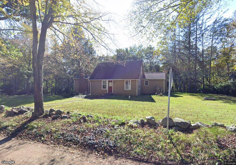
38 Mulberry Rd Mansfield Center, CT 06250
Estimated Value: $327,636 - $439,000
4
Beds
2
Baths
1,742
Sq Ft
$230/Sq Ft
Est. Value
About This Home
This home is located at 38 Mulberry Rd, Mansfield Center, CT 06250 and is currently estimated at $400,409, approximately $229 per square foot. 38 Mulberry Rd is a home located in Tolland County with nearby schools including Mansfield Elementary School, Mansfield Middle School, and E.O. Smith High School.
Ownership History
Date
Name
Owned For
Owner Type
Purchase Details
Closed on
Nov 6, 2006
Sold by
Cornetto Christopher M and Cornetto Karen M
Bought by
King Jeffrey Alan and King Michelle Lynn
Current Estimated Value
Home Financials for this Owner
Home Financials are based on the most recent Mortgage that was taken out on this home.
Original Mortgage
$238,000
Interest Rate
6.47%
Purchase Details
Closed on
Jun 28, 2002
Sold by
Permenter Alice
Bought by
Cornetto Christopher and Cornetto Karen
Purchase Details
Closed on
Mar 1, 2001
Sold by
Collins Edward
Bought by
Permenter Alice
Purchase Details
Closed on
Apr 3, 1990
Sold by
Havens Geoffrey
Bought by
Collins Edward
Create a Home Valuation Report for This Property
The Home Valuation Report is an in-depth analysis detailing your home's value as well as a comparison with similar homes in the area
Home Values in the Area
Average Home Value in this Area
Purchase History
| Date | Buyer | Sale Price | Title Company |
|---|---|---|---|
| King Jeffrey Alan | $297,500 | -- | |
| King Jeffrey Alan | $297,500 | -- | |
| Cornetto Christopher | $223,000 | -- | |
| Cornetto Christopher | $223,000 | -- | |
| Permenter Alice | $199,000 | -- | |
| Permenter Alice | $199,000 | -- | |
| Collins Edward | $167,000 | -- |
Source: Public Records
Mortgage History
| Date | Status | Borrower | Loan Amount |
|---|---|---|---|
| Open | Collins Edward | $209,750 | |
| Closed | Collins Edward | $238,000 |
Source: Public Records
Tax History Compared to Growth
Tax History
| Year | Tax Paid | Tax Assessment Tax Assessment Total Assessment is a certain percentage of the fair market value that is determined by local assessors to be the total taxable value of land and additions on the property. | Land | Improvement |
|---|---|---|---|---|
| 2025 | $4,184 | $209,200 | $45,600 | $163,600 |
| 2024 | $4,264 | $139,700 | $42,900 | $96,800 |
| 2023 | $4,403 | $139,700 | $42,900 | $96,800 |
| 2022 | $4,244 | $139,700 | $42,900 | $96,800 |
| 2021 | $4,384 | $139,700 | $42,900 | $96,800 |
| 2020 | $4,384 | $139,700 | $42,900 | $96,800 |
| 2019 | $4,268 | $136,000 | $45,200 | $90,800 |
| 2018 | $4,200 | $136,000 | $45,200 | $90,800 |
| 2017 | $4,166 | $136,000 | $45,200 | $90,800 |
| 2016 | $4,062 | $136,000 | $45,200 | $90,800 |
| 2015 | $4,062 | $136,000 | $45,200 | $90,800 |
| 2014 | -- | $148,890 | $50,190 | $98,700 |
Source: Public Records
Map
Nearby Homes
- 934 Storrs Rd
- 18 Spring Hill Rd
- 368 Warrenville Rd
- 124 Spring Hill Rd
- 48 Monticello Ln
- 10 Hillside Cir
- 685 Wormwood Hill Rd
- 21 Silo Rd W Unit 21
- 408 Storrs Rd
- 0 Mansfield City Rd Unit LOT 2
- 0 Mansfield City Rd Unit 24089164
- 69 N Bedlam Rd
- 140 Federal Rd
- 30 Wyllys Farm Rd
- 29 Wyllys Farm Rd
- 37 Wyllys Farm Rd
- 43 Wyllys Farm Rd
- 31 Wyllys Farm Rd
- 283 Tower Hill Rd
- 35 Wyllys Farm Rd
- 32 Mulberry Rd
- 41 Mulberry Rd
- 52 Mulberry Rd
- 27 Mulberry Rd
- 22 Mulberry Rd
- 21 Mulberry Rd
- 55 Mulberry Rd
- 11 Mulberry Rd
- 58 Mulberry Rd
- 67 Mulberry Rd
- 8 Mulberry Rd
- 68 Mulberry Rd
- 4 Mulberry Rd
- 180 Chaffeeville Rd
- 132 Chaffeeville Rd
- 3 Mulberry Rd
- 2 Mulberry Rd
- 74 Mulberry Rd
- 1-4 Mulberry Rd
- 1 Mulberry Rd