38 Munnick Point Rd Lyman, ME 04002
Lyman NeighborhoodEstimated Value: $409,000 - $833,000
4
Beds
2
Baths
1,008
Sq Ft
$575/Sq Ft
Est. Value
About This Home
This home is located at 38 Munnick Point Rd, Lyman, ME 04002 and is currently estimated at $579,336, approximately $574 per square foot. 38 Munnick Point Rd is a home with nearby schools including Massabesic High School.
Ownership History
Date
Name
Owned For
Owner Type
Purchase Details
Closed on
Nov 9, 2020
Sold by
Swensen Hicks K and Swensen Kristin O
Bought by
Swensen-Hicks Kristin O
Current Estimated Value
Home Financials for this Owner
Home Financials are based on the most recent Mortgage that was taken out on this home.
Original Mortgage
$120,000
Outstanding Balance
$106,783
Interest Rate
2.8%
Mortgage Type
New Conventional
Estimated Equity
$472,553
Create a Home Valuation Report for This Property
The Home Valuation Report is an in-depth analysis detailing your home's value as well as a comparison with similar homes in the area
Home Values in the Area
Average Home Value in this Area
Purchase History
| Date | Buyer | Sale Price | Title Company |
|---|---|---|---|
| Swensen-Hicks Kristin O | -- | None Available | |
| Swensen-Hicks Kristin O | -- | None Available |
Source: Public Records
Mortgage History
| Date | Status | Borrower | Loan Amount |
|---|---|---|---|
| Open | Swensen-Hicks Kristin O | $120,000 | |
| Closed | Swensen-Hicks Kristin O | $120,000 |
Source: Public Records
Tax History Compared to Growth
Tax History
| Year | Tax Paid | Tax Assessment Tax Assessment Total Assessment is a certain percentage of the fair market value that is determined by local assessors to be the total taxable value of land and additions on the property. | Land | Improvement |
|---|---|---|---|---|
| 2024 | $5,296 | $420,000 | $249,000 | $171,000 |
| 2023 | $5,120 | $420,000 | $249,000 | $171,000 |
| 2022 | $4,996 | $427,000 | $249,000 | $178,000 |
| 2021 | $4,902 | $427,000 | $249,000 | $178,000 |
| 2020 | $4,386 | $433,000 | $194,000 | $239,000 |
| 2019 | $4,534 | $433,000 | $194,000 | $239,000 |
| 2018 | $4,102 | $359,000 | $160,000 | $199,000 |
| 2017 | $3,776 | $328,300 | $146,600 | $181,700 |
| 2015 | $4,071 | $328,300 | $146,600 | $181,700 |
| 2014 | $3,989 | $328,300 | $146,600 | $181,700 |
Source: Public Records
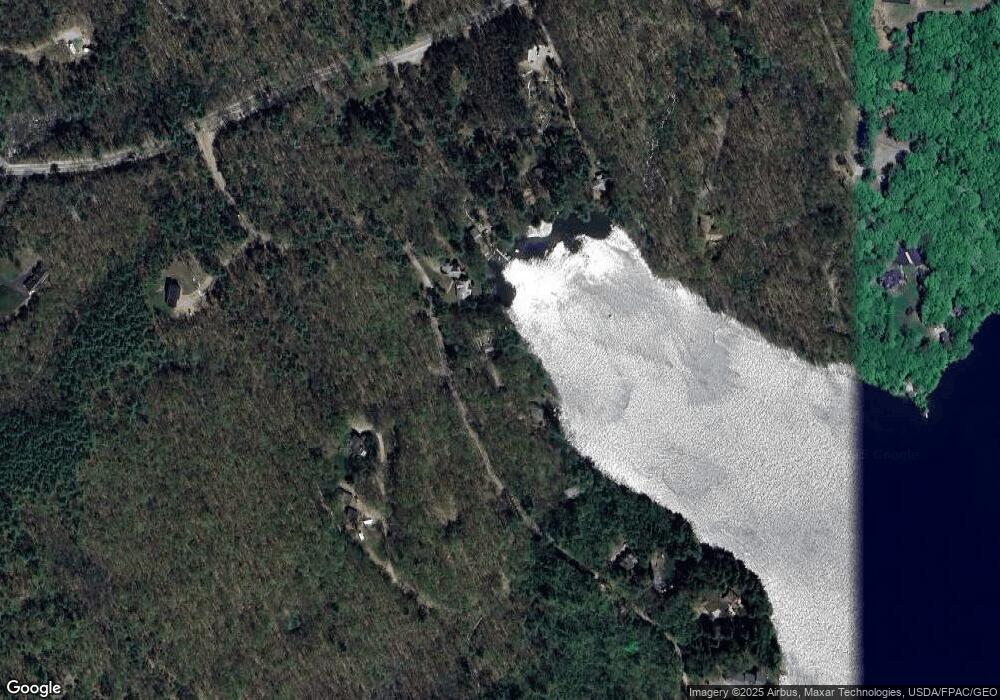
Map
Nearby Homes
- 69 Oscar Littlefield Rd
- 65 Old County Rd
- 40 Oakwood St
- 16 Marcotte Ln
- 22 White House Cove Rd
- 296 Wadleigh Pond Rd
- 19 Day Rd
- 57 Reagan Lynn Rd
- 2252 Alfred Rd
- 74 Lisa Dr
- 330 Biddeford Rd
- TBD Olde Farnham Rd
- 87 Drown Rd
- 149 Duke Ln
- 533 Kennebunk Rd
- 232 Waterboro Rd
- 22 Caya Ln Unit A
- 34 Cascade Cir Unit 30
- 26 Kolbe Dr
- Lot 1 Kennebunk Rd
- 48 Munnick Point Rd
- 30 Munnick Point Rd
- 12 Lilac Ln
- 60 Munnick Point Rd
- 8 Single Ln
- 792 S Waterboro Rd
- 19 Cattail Ln
- Lot 5-17 Moose Point Rd
- 70 Munnick Point Rd
- 31 Muskatawa Ln
- 74 Munnick Point Rd
- Lot 1 Meadow Woods Ln
- 812 S Waterboro Rd
- 7 Munnick Point Rd
- 7 Cattail Ln
- 0 So Waterboro Rd
- 80 Munnick Point Rd
- 39 Muskatawa Ln
- 86 Munnick Point Rd
- 109 Munnick Point Rd