38 Mushrall Ln Orland, ME 04472
Estimated Value: $274,000 - $320,000
3
Beds
1
Bath
924
Sq Ft
$321/Sq Ft
Est. Value
About This Home
This home is located at 38 Mushrall Ln, Orland, ME 04472 and is currently estimated at $296,924, approximately $321 per square foot. 38 Mushrall Ln is a home with nearby schools including G. Herbert Jewett School, Miles Lane School, and Bucksport Middle School.
Ownership History
Date
Name
Owned For
Owner Type
Purchase Details
Closed on
Jul 12, 2019
Sold by
Mushrall Barbara M
Bought by
Deweese Joseph and Deweese Lisa
Current Estimated Value
Purchase Details
Closed on
Mar 19, 2018
Sold by
Edgecomb Ft
Bought by
Deweese Lisa and Bartz Jennifer
Purchase Details
Closed on
Oct 12, 2016
Sold by
Edgecomb Priscilla M
Bought by
Edgecomb Ft
Create a Home Valuation Report for This Property
The Home Valuation Report is an in-depth analysis detailing your home's value as well as a comparison with similar homes in the area
Home Values in the Area
Average Home Value in this Area
Purchase History
| Date | Buyer | Sale Price | Title Company |
|---|---|---|---|
| Deweese Joseph | -- | -- | |
| Deweese Lisa | -- | -- | |
| Edgecomb Ft | -- | -- |
Source: Public Records
Tax History Compared to Growth
Tax History
| Year | Tax Paid | Tax Assessment Tax Assessment Total Assessment is a certain percentage of the fair market value that is determined by local assessors to be the total taxable value of land and additions on the property. | Land | Improvement |
|---|---|---|---|---|
| 2024 | $2,347 | $192,660 | $118,320 | $74,340 |
| 2023 | $2,270 | $192,660 | $118,320 | $74,340 |
| 2022 | $1,884 | $192,660 | $118,320 | $74,340 |
| 2021 | $1,599 | $104,480 | $45,440 | $59,040 |
| 2020 | $1,599 | $104,480 | $45,440 | $59,040 |
| 2019 | $1,619 | $104,480 | $45,440 | $59,040 |
| 2018 | $1,535 | $104,480 | $45,440 | $59,040 |
| 2017 | $1,457 | $104,480 | $45,440 | $59,040 |
| 2016 | $1,431 | $104,480 | $45,440 | $59,040 |
| 2015 | $1,431 | $104,480 | $45,440 | $59,040 |
| 2014 | $1,376 | $96,900 | $37,860 | $59,040 |
| 2013 | $1,376 | $96,900 | $37,860 | $59,040 |
Source: Public Records
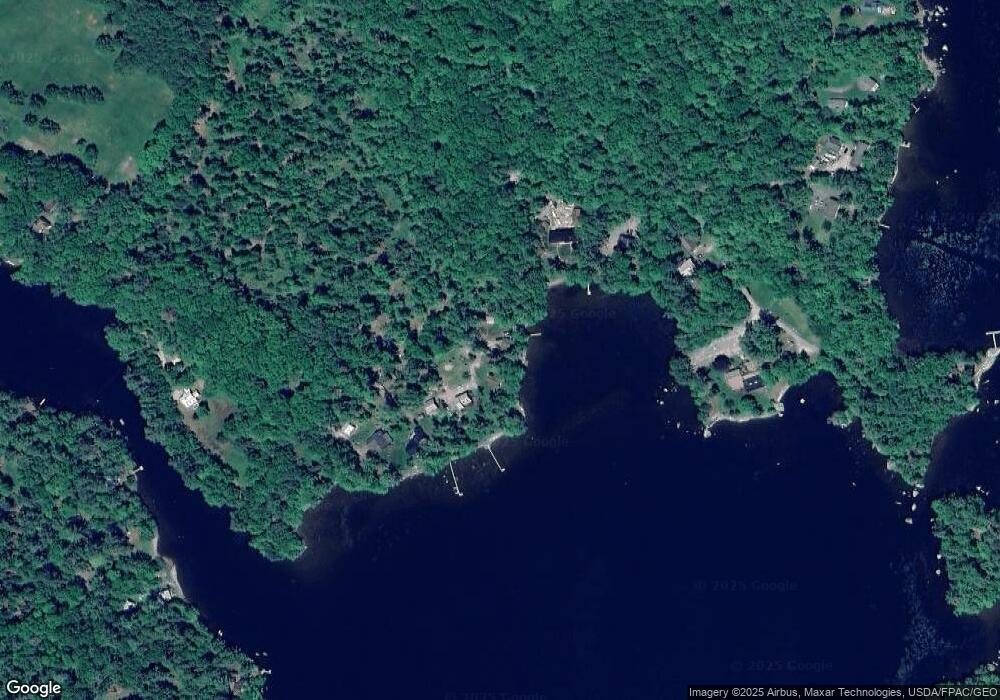
Map
Nearby Homes
- 12 Mount View Ln
- 0 Meadow Brook Ln
- Lot #11 Russell Hill Rd
- Lot #4 Russell Hill Rd
- Lot #5 Russell Hill Rd
- Lot #2 Russell Hill Rd
- Lot #10 Russell Hill Rd
- Lot #6 Russell Hill Rd
- Lot #7 Russell Hill Rd
- Lot #3 Russell Hill Rd
- Lot #8 Russell Hill Rd
- 2 Marion Ln
- 41 Wildwood Ln
- 54 Robin Hood Cir
- 21 Robin Hood Dr
- M4L15&16 Acadia Hwy
- MAP4LOT17 Acadia Hwy
- 160 Front Ridge Rd
- 23 Millvale Rd
- 130 Hartview Cir
- 40 Mushrall Ln
- 41 Mushrall Ln
- 100 Rivers Edge Ln
- 203 Soper Rd
- 96 Rivers Edge Ln
- 211 Soper Rd
- 221 Soper Rd
- 229 Soper Rd
- 71 Rivers Edge Ln
- 0 Mushrall Ln
- 240 Soper Rd
- 19 Red Paint Ln
- 23 Red Paint Ln
- 252 Soper Rd
- 139 Charlie Star Ln
- 135 Charlie Star Ln
- 23 Sprucewood Ln
- 125 Charlie Star Ln
- 248 Soper Rd
- 52 Rivers Edge Ln