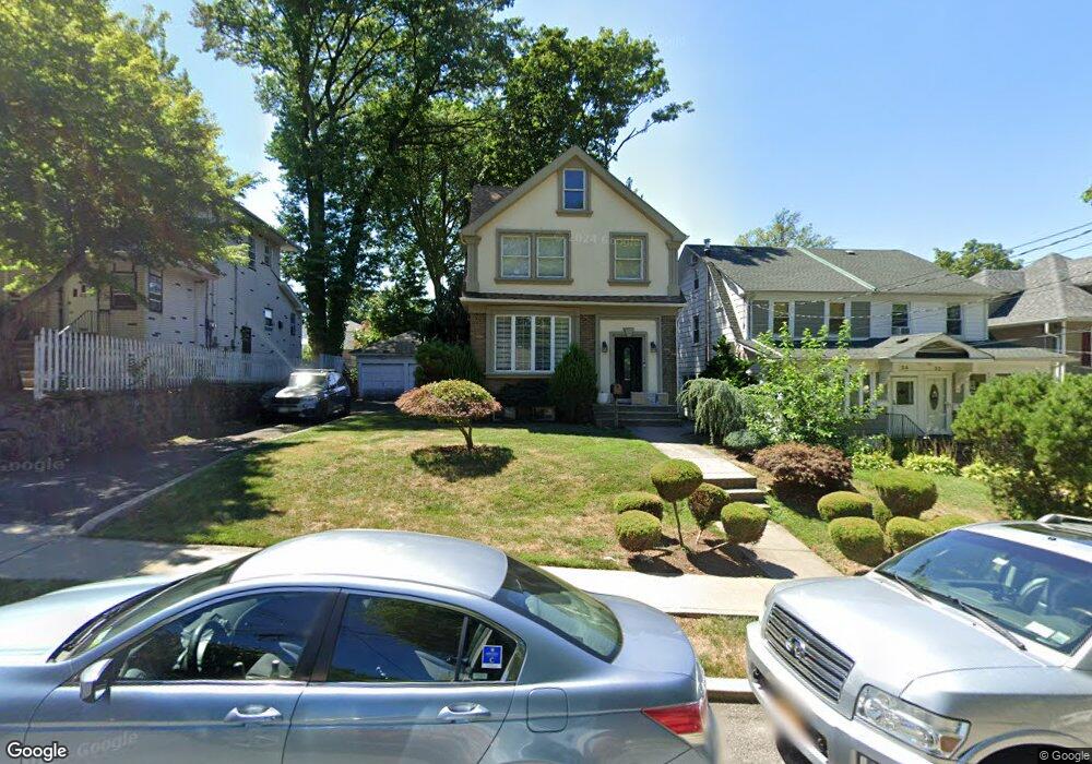
38 N Mada Ave Staten Island, NY 10310
Randall Manor NeighborhoodEstimated Value: $777,000 - $909,000
4
Beds
2
Baths
1,594
Sq Ft
$536/Sq Ft
Est. Value
About This Home
This home is located at 38 N Mada Ave, Staten Island, NY 10310 and is currently estimated at $853,953, approximately $535 per square foot. 38 N Mada Ave is a home located in Richmond County with nearby schools including P.S. 45 John Tyler, Is 61 William A Morris, and Curtis High School.
Ownership History
Date
Name
Owned For
Owner Type
Purchase Details
Closed on
Oct 26, 2007
Sold by
Deasy Maureen
Bought by
Foster Ryan and Foster Gillian
Current Estimated Value
Home Financials for this Owner
Home Financials are based on the most recent Mortgage that was taken out on this home.
Original Mortgage
$417,000
Outstanding Balance
$265,063
Interest Rate
6.47%
Mortgage Type
Purchase Money Mortgage
Estimated Equity
$588,890
Create a Home Valuation Report for This Property
The Home Valuation Report is an in-depth analysis detailing your home's value as well as a comparison with similar homes in the area
Home Values in the Area
Average Home Value in this Area
Purchase History
| Date | Buyer | Sale Price | Title Company |
|---|---|---|---|
| Foster Ryan | $579,890 | Fidelity Natl Title Ins Co |
Source: Public Records
Mortgage History
| Date | Status | Borrower | Loan Amount |
|---|---|---|---|
| Open | Foster Ryan | $417,000 |
Source: Public Records
Tax History Compared to Growth
Tax History
| Year | Tax Paid | Tax Assessment Tax Assessment Total Assessment is a certain percentage of the fair market value that is determined by local assessors to be the total taxable value of land and additions on the property. | Land | Improvement |
|---|---|---|---|---|
| 2025 | $7,100 | $46,740 | $14,356 | $32,384 |
| 2024 | $7,100 | $44,460 | $14,598 | $29,862 |
| 2023 | $6,773 | $33,350 | $12,034 | $21,316 |
| 2022 | $6,444 | $45,240 | $18,360 | $26,880 |
| 2021 | $6,409 | $37,440 | $18,360 | $19,080 |
| 2020 | $6,447 | $37,020 | $18,360 | $18,660 |
| 2019 | $6,162 | $34,080 | $18,360 | $15,720 |
| 2018 | $5,665 | $27,792 | $15,837 | $11,955 |
| 2017 | $5,484 | $26,900 | $17,042 | $9,858 |
| 2016 | $5,074 | $25,380 | $15,109 | $10,271 |
| 2015 | $4,711 | $25,380 | $15,504 | $9,876 |
| 2014 | $4,711 | $24,549 | $17,231 | $7,318 |
Source: Public Records
Map
Nearby Homes
- 244 Delafield Ave
- 335 Oakland Ave
- 331 Oakland Ave
- 432 Pelton Ave
- 20 Baker Place
- 253 Elm St
- 486 Henderson Ave
- 112 Delafield Ave
- 585 Castleton Ave Unit 1c
- 125 Walbrooke Ave
- 943 Castleton Ave
- 60 Westbury Ave
- 11 Curtis Ct
- 44 Westbury Ave
- 72 Gregg Place
- 386 N Burgher Ave
- 67 Lawrence Ave
- 225 N Burgher Ave
- 605 Bard Ave
- 175 Bement Ave