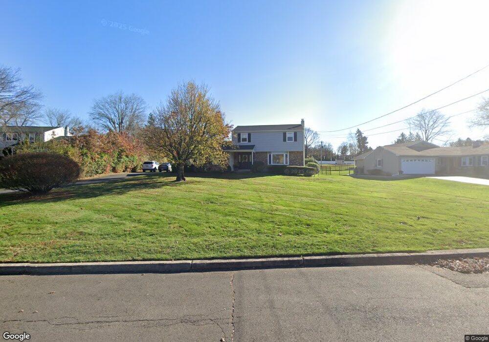
38 Neshaminy Dr Warminster, PA 18974
Estimated Value: $525,000 - $666,000
4
Beds
3
Baths
2,000
Sq Ft
$302/Sq Ft
Est. Value
About This Home
This home is located at 38 Neshaminy Dr, Warminster, PA 18974 and is currently estimated at $604,466, approximately $302 per square foot. 38 Neshaminy Dr is a home located in Bucks County with nearby schools including Maureen M. Welch Elementary School, Richboro Middle School, and Council Rock High School - South.
Ownership History
Date
Name
Owned For
Owner Type
Purchase Details
Closed on
May 8, 2024
Sold by
Burns Roseann E
Bought by
Roseann E Burns Living Trust and Burns
Current Estimated Value
Purchase Details
Closed on
Feb 21, 2020
Sold by
Burns Robert J and Burns Roseann E
Bought by
Burns Roseann E
Purchase Details
Closed on
May 23, 1989
Sold by
Andruczyk Eugene and Andruczyk Patricia M
Bought by
Burns Robert J and Burns Roseann E
Create a Home Valuation Report for This Property
The Home Valuation Report is an in-depth analysis detailing your home's value as well as a comparison with similar homes in the area
Home Values in the Area
Average Home Value in this Area
Purchase History
| Date | Buyer | Sale Price | Title Company |
|---|---|---|---|
| Roseann E Burns Living Trust | -- | None Listed On Document | |
| Burns Roseann E | -- | None Available | |
| Burns Robert J | $180,000 | -- |
Source: Public Records
Tax History
| Year | Tax Paid | Tax Assessment Tax Assessment Total Assessment is a certain percentage of the fair market value that is determined by local assessors to be the total taxable value of land and additions on the property. | Land | Improvement |
|---|---|---|---|---|
| 2025 | $5,778 | $30,000 | $6,720 | $23,280 |
| 2024 | $5,778 | $30,000 | $6,720 | $23,280 |
| 2023 | $5,446 | $30,000 | $6,720 | $23,280 |
| 2022 | $5,396 | $30,000 | $6,720 | $23,280 |
| 2021 | $5,225 | $30,000 | $6,720 | $23,280 |
| 2020 | $5,108 | $30,000 | $6,720 | $23,280 |
| 2019 | $4,889 | $30,000 | $6,720 | $23,280 |
| 2018 | $4,802 | $30,000 | $6,720 | $23,280 |
| 2017 | $4,617 | $30,000 | $6,720 | $23,280 |
| 2016 | $4,617 | $30,000 | $6,720 | $23,280 |
| 2015 | -- | $30,000 | $6,720 | $23,280 |
| 2014 | -- | $30,000 | $6,720 | $23,280 |
Source: Public Records
Map
Nearby Homes
- 1390 Old Jacksonville Rd
- 9 Skyview Dr
- 6 Creekside Dr
- 636 Almshouse Rd
- 2423 April Dr
- 920 Nathaniel Trail
- 931 Nathaniel Trail
- 2417 April Dr
- 841 Nathaniel Trail
- 3 Shady Pines Dr
- 23 Oxford Dr
- 1568 Sackettsford Rd
- 941 Hamilton Way
- 9 Spring Dr
- 11 Spring Dr
- 21 Spring Mill Dr Unit 12
- 3 Cumberland Cir
- 55 Parry Way
- 1107 Maxwell Manor
- 105 Edwards Dr
- 30 Neshaminy Dr
- 46 Neshaminy Dr
- 37 Neshaminy Dr
- 29 Neshaminy Dr
- 18 Neshaminy Dr
- 77 Macfarland Ave
- 21 Neshaminy Dr
- 45 Neshaminy Dr
- 55 Neshaminy Dr
- 13 Neshaminy Dr
- 60 Macfarland Ave
- 78 Macfarland Ave
- 9 Neshaminy Dr
- 90 Macfarland Ave
- 48 Macfarland Ave
- 41 Macfarland Ave
- 23 Driscoll Dr
- 98 Macfarland Ave
- 10 Homestead Dr
- 33 Driscoll Dr
Your Personal Tour Guide
Ask me questions while you tour the home.