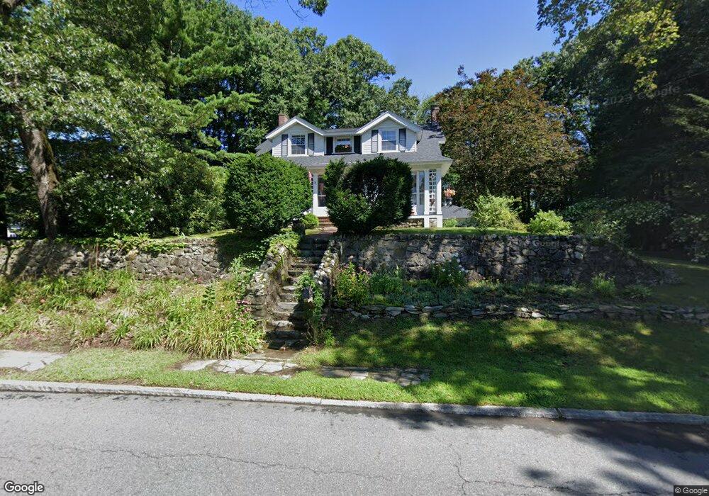
38 Nevins Rd Methuen, MA 01844
Downtown Methuen NeighborhoodEstimated Value: $577,000 - $680,000
4
Beds
1
Bath
1,340
Sq Ft
$459/Sq Ft
Est. Value
About This Home
This home is located at 38 Nevins Rd, Methuen, MA 01844 and is currently estimated at $615,026, approximately $458 per square foot. 38 Nevins Rd is a home located in Essex County with nearby schools including Mendota Elementary School, Tenney Grammar School, and South Point Elementary School.
Ownership History
Date
Name
Owned For
Owner Type
Purchase Details
Closed on
Feb 17, 1995
Sold by
Sullivan Mary C
Bought by
Macdonald Linda
Current Estimated Value
Home Financials for this Owner
Home Financials are based on the most recent Mortgage that was taken out on this home.
Original Mortgage
$123,500
Interest Rate
9.19%
Mortgage Type
Purchase Money Mortgage
Create a Home Valuation Report for This Property
The Home Valuation Report is an in-depth analysis detailing your home's value as well as a comparison with similar homes in the area
Home Values in the Area
Average Home Value in this Area
Purchase History
| Date | Buyer | Sale Price | Title Company |
|---|---|---|---|
| Macdonald Linda | $130,000 | -- | |
| Macdonald Linda | $130,000 | -- |
Source: Public Records
Mortgage History
| Date | Status | Borrower | Loan Amount |
|---|---|---|---|
| Open | Macdonald Linda | $64,000 | |
| Open | Macdonald Linda | $117,000 | |
| Closed | Macdonald Linda | $124,000 | |
| Closed | Macdonald Linda | $123,500 |
Source: Public Records
Tax History Compared to Growth
Tax History
| Year | Tax Paid | Tax Assessment Tax Assessment Total Assessment is a certain percentage of the fair market value that is determined by local assessors to be the total taxable value of land and additions on the property. | Land | Improvement |
|---|---|---|---|---|
| 2025 | $5,616 | $530,800 | $297,200 | $233,600 |
| 2024 | $5,481 | $504,700 | $271,100 | $233,600 |
| 2023 | $5,162 | $441,200 | $241,000 | $200,200 |
| 2022 | $4,736 | $362,900 | $190,800 | $172,100 |
| 2021 | $4,506 | $341,600 | $180,700 | $160,900 |
| 2020 | $4,531 | $337,100 | $180,700 | $156,400 |
| 2019 | $4,444 | $313,200 | $170,700 | $142,500 |
| 2018 | $4,232 | $296,600 | $160,600 | $136,000 |
| 2017 | $4,147 | $283,100 | $160,600 | $122,500 |
| 2016 | $3,729 | $251,800 | $140,600 | $111,200 |
| 2015 | $3,595 | $246,200 | $140,600 | $105,600 |
Source: Public Records
Map
Nearby Homes
- 26 Gage St
- 52 High St Unit 5
- 35 Stillwater Rd
- 32 Morrison Ct
- 40 Carol Ave
- 174 Pleasant St
- 47 Lowell St
- 35 Hardy St
- 2 Horne St
- 100-102 Phillips St
- 83 Arnold St
- 48 Larchwood Rd
- 24 Railroad St
- 18 Larchwood Rd
- 48 Pond St
- 19 Hampshire Rd Unit 304
- 21 Hampshire Rd Unit 412
- 20-22 Ashland Ave
- 0 Hampshire Rd
- 23 Hampshire Rd Unit 404
- 36 Nevins Rd
- 44 Nevins Rd
- 34 Stevens St
- 34 Nevins Rd
- 43 Stevens St
- 43 Stevens St Unit 43
- 53 Nevins Rd
- 55 Nevins Rd
- 53 Nevins Rd Unit 53
- 55 Nevins Rd Unit 55
- 53 Nevins Rd
- 55 Nevins Rd Unit 37-39
- 53 Nevins Rd Unit 37-39
- 45 Nevins Rd
- 41 Stevens St
- 41 Stevens St Unit 2 41
- 37 Nevins Rd
- 46 Nevins Rd
- 32 Stevens St
- 37 Stevens St