38 NW 451st Rd Centerview, MO 64019
Estimated Value: $429,000 - $466,000
Studio
--
Bath
2,640
Sq Ft
$170/Sq Ft
Est. Value
About This Home
This home is located at 38 NW 451st Rd, Centerview, MO 64019 and is currently estimated at $448,507, approximately $169 per square foot. 38 NW 451st Rd is a home with nearby schools including Crest Ridge Elementary School, Crest Ridge High School, and Johnson County Christian Academy.
Ownership History
Date
Name
Owned For
Owner Type
Purchase Details
Closed on
Jul 24, 2023
Sold by
Dye Bobby S and Dye Deborah L
Bought by
Weldon Andrew C and Weldon Amy M
Current Estimated Value
Purchase Details
Closed on
Jun 10, 2015
Sold by
Shippy Development Llc
Bought by
Dye Bobby Scott and Gregory Deborah Lynn
Create a Home Valuation Report for This Property
The Home Valuation Report is an in-depth analysis detailing your home's value as well as a comparison with similar homes in the area
Purchase History
| Date | Buyer | Sale Price | Title Company |
|---|---|---|---|
| Weldon Andrew C | -- | Western Missouri Title | |
| Dye Bobby Scott | -- | Jctc |
Source: Public Records
Tax History
| Year | Tax Paid | Tax Assessment Tax Assessment Total Assessment is a certain percentage of the fair market value that is determined by local assessors to be the total taxable value of land and additions on the property. | Land | Improvement |
|---|---|---|---|---|
| 2025 | $3,415 | $51,008 | $0 | $0 |
| 2024 | $3,415 | $46,917 | $0 | $0 |
| 2023 | $3,201 | $46,917 | $0 | $0 |
| 2022 | $33 | $475 | $0 | $0 |
| 2021 | $32 | $475 | $0 | $0 |
| 2020 | $33 | $475 | $0 | $0 |
| 2019 | $32 | $475 | $0 | $0 |
| 2017 | $31 | $475 | $0 | $0 |
| 2016 | $31 | $475 | $0 | $0 |
| 2015 | -- | $475 | $0 | $0 |
Source: Public Records
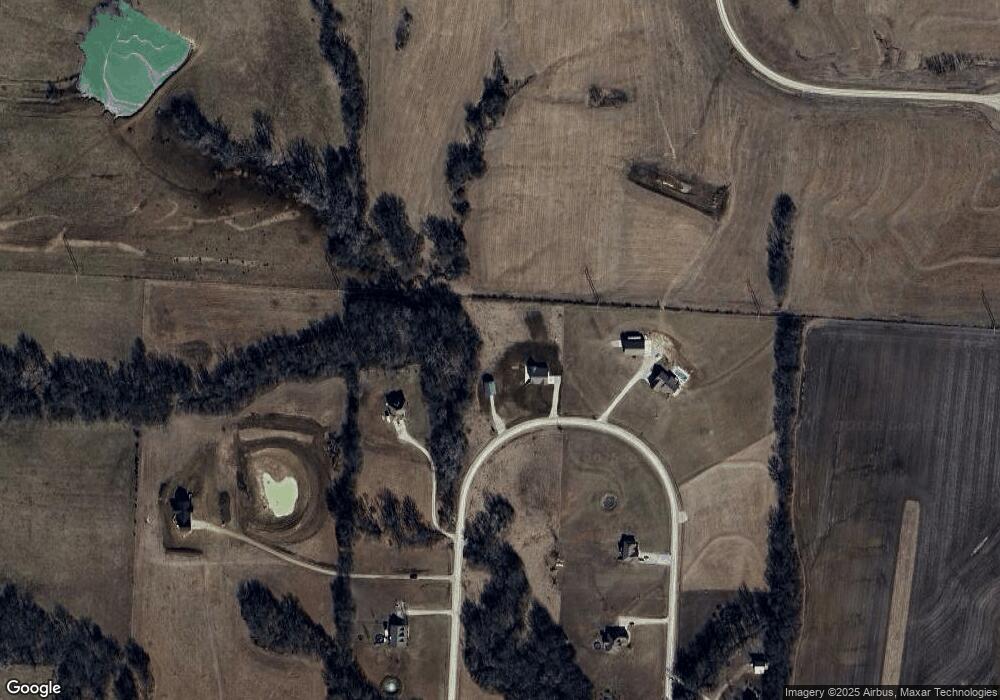
Map
Nearby Homes
- 0 Tbd Lot 2 491st Rd
- 26 SW 491st Rd
- TBD Lot 7 491st Rd
- 64 SW 401st Rd
- 52 401st (North 65) Rd
- 000 SW 100th Rd
- 507 NW 165th Rd
- 271 NW 75 Rd
- 65 SW 150th Rd
- 66 SW 150th Rd
- 120 NW 191 Rd
- 125 NW 171 Rd
- 124 NW 171 Rd
- 412 NW 701st Rd
- 786 NW 100th Rd
- 734 Iron Horse Dr
- 101 Hidden Pines Ln
- 705 Mahogany Ct
- 707 Mahogany Ct
- 110 Deerfield Dr
Your Personal Tour Guide
Ask me questions while you tour the home.