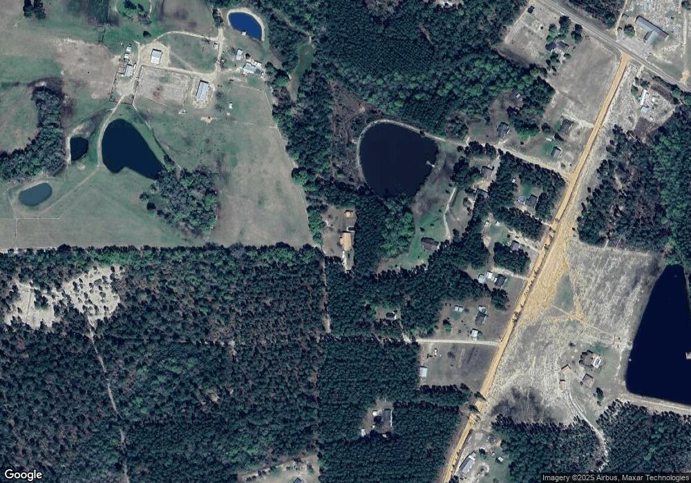
38 Oakwood Ln Hazlehurst, GA 31539
Estimated Value: $229,000 - $315,406
--
Bed
2
Baths
2,060
Sq Ft
$137/Sq Ft
Est. Value
About This Home
This home is located at 38 Oakwood Ln, Hazlehurst, GA 31539 and is currently estimated at $281,602, approximately $136 per square foot. 38 Oakwood Ln is a home located in Jeff Davis County with nearby schools including Jeff Davis Primary School, Jeff Davis Elementary School, and Jeff Davis Middle School.
Ownership History
Date
Name
Owned For
Owner Type
Purchase Details
Closed on
Jun 15, 2010
Sold by
Sellers Christopher D
Bought by
Baker Robert S
Current Estimated Value
Home Financials for this Owner
Home Financials are based on the most recent Mortgage that was taken out on this home.
Original Mortgage
$152,000
Outstanding Balance
$101,168
Interest Rate
4.83%
Mortgage Type
VA
Estimated Equity
$180,434
Purchase Details
Closed on
Sep 15, 2004
Sold by
Turner John C and Turner Patricia A
Bought by
Sellers Christopher D
Create a Home Valuation Report for This Property
The Home Valuation Report is an in-depth analysis detailing your home's value as well as a comparison with similar homes in the area
Home Values in the Area
Average Home Value in this Area
Purchase History
| Date | Buyer | Sale Price | Title Company |
|---|---|---|---|
| Baker Robert S | $152,000 | -- | |
| Sellers Christopher D | $5,200 | -- |
Source: Public Records
Mortgage History
| Date | Status | Borrower | Loan Amount |
|---|---|---|---|
| Open | Baker Robert S | $152,000 |
Source: Public Records
Tax History Compared to Growth
Tax History
| Year | Tax Paid | Tax Assessment Tax Assessment Total Assessment is a certain percentage of the fair market value that is determined by local assessors to be the total taxable value of land and additions on the property. | Land | Improvement |
|---|---|---|---|---|
| 2024 | $2,758 | $95,876 | $2,360 | $93,516 |
| 2023 | $1,774 | $62,385 | $2,773 | $59,612 |
| 2022 | $1,774 | $62,385 | $2,773 | $59,612 |
| 2021 | $1,774 | $62,385 | $2,773 | $59,612 |
| 2020 | $1,774 | $62,385 | $2,773 | $59,612 |
| 2019 | $1,774 | $62,385 | $2,773 | $59,612 |
| 2018 | $1,774 | $62,385 | $2,773 | $59,612 |
| 2017 | $1,645 | $58,953 | $2,773 | $56,180 |
| 2016 | $1,616 | $58,953 | $2,773 | $56,180 |
| 2015 | -- | $71,130 | $11,596 | $59,534 |
| 2014 | -- | $74,169 | $11,596 | $62,573 |
Source: Public Records
Map
Nearby Homes
- 4419 Altamaha School Rd
- 183 John Rentz Rd
- 0 Ernest Carter Rd
- -- Hammond Powell Rd
- 0 Melton Chapel Rd
- 138 Coley Reagin Rd
- 105 Lonnie Johnson Rd
- 0 Golden Isle W
- TBD Golden Isle W
- 212 Arthur McNeal Rd
- 43 Graham Methodist Church Rd
- 100 Doc Hunter Rd
- Tract 9 Sellers Rd
- 2000-4 Sellers Rd
- TRACT 11 Sellers Rd
- TRACT 10 Sellers Rd
- TRACT 12 Sellers Rd
- 5686 Golden Isle W
- 0 Dubberly Rd
- 0 Sellers Rd
