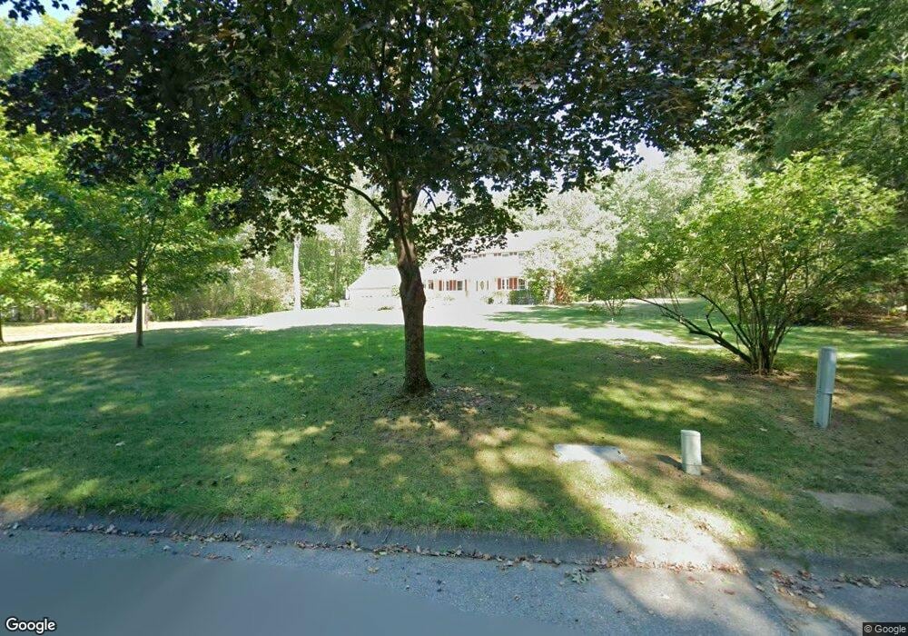
38 Old Homestead Rd Groton, MA 01450
Estimated Value: $856,000 - $910,000
4
Beds
3
Baths
2,846
Sq Ft
$312/Sq Ft
Est. Value
About This Home
This home is located at 38 Old Homestead Rd, Groton, MA 01450 and is currently estimated at $886,563, approximately $311 per square foot. 38 Old Homestead Rd is a home located in Middlesex County with nearby schools including Groton Dunstable Regional High School, Seven Hills At Groton, and Lawrence Academy.
Ownership History
Date
Name
Owned For
Owner Type
Purchase Details
Closed on
Sep 1, 2023
Sold by
Kraemer Gary J and Kraemer Barbara R
Bought by
Kemp Ryan and Desrosiers Cara E
Current Estimated Value
Home Financials for this Owner
Home Financials are based on the most recent Mortgage that was taken out on this home.
Original Mortgage
$561,000
Outstanding Balance
$548,695
Interest Rate
6.78%
Mortgage Type
Purchase Money Mortgage
Estimated Equity
$337,868
Purchase Details
Closed on
Nov 17, 1989
Sold by
David C Moulton Inc
Bought by
Kraemer Gary J
Create a Home Valuation Report for This Property
The Home Valuation Report is an in-depth analysis detailing your home's value as well as a comparison with similar homes in the area
Home Values in the Area
Average Home Value in this Area
Purchase History
| Date | Buyer | Sale Price | Title Company |
|---|---|---|---|
| Kemp Ryan | $850,000 | None Available | |
| Kemp Ryan | $850,000 | None Available | |
| Kraemer Gary J | $292,500 | -- | |
| Kraemer Gary J | $292,500 | -- |
Source: Public Records
Mortgage History
| Date | Status | Borrower | Loan Amount |
|---|---|---|---|
| Open | Kemp Ryan | $561,000 | |
| Closed | Kemp Ryan | $561,000 | |
| Previous Owner | Kraemer Gary J | $30,000 | |
| Previous Owner | Kraemer Gary J | $26,500 | |
| Previous Owner | Kraemer Gary J | $229,000 |
Source: Public Records
Tax History Compared to Growth
Tax History
| Year | Tax Paid | Tax Assessment Tax Assessment Total Assessment is a certain percentage of the fair market value that is determined by local assessors to be the total taxable value of land and additions on the property. | Land | Improvement |
|---|---|---|---|---|
| 2025 | $11,999 | $786,800 | $255,900 | $530,900 |
| 2024 | $11,734 | $777,600 | $255,900 | $521,700 |
| 2023 | $11,134 | $711,900 | $255,900 | $456,000 |
| 2022 | $10,482 | $609,800 | $234,700 | $375,100 |
| 2021 | $9,977 | $566,900 | $212,800 | $354,100 |
| 2020 | $9,726 | $559,600 | $225,800 | $333,800 |
| 2019 | $9,292 | $513,100 | $214,700 | $298,400 |
| 2018 | $8,896 | $476,500 | $214,700 | $261,800 |
| 2017 | $9,039 | $495,000 | $233,200 | $261,800 |
| 2016 | $8,366 | $445,500 | $186,000 | $259,500 |
| 2015 | $8,139 | $445,500 | $186,000 | $259,500 |
Source: Public Records
Map
Nearby Homes
- 23 Mccarthy Dr
- 21 Heritage Ln
- 10 Groton Rd Unit C1
- 0 Arrow Trail
- 49 Boat House Rd
- 61 Arrow Trail
- 55 Wenuchas Trail
- 6 Little Hollow Ln
- 0 Old Dunstable Rd
- 40 Hemlock Park Dr
- 34 West St
- 2 Wildflower Ln
- 12 Brookfield Dr Unit A
- 12 Oriole Dr
- 10 Lynwood Ln
- 35 Oxbow Ln
- 18 Ingalls Rd
- 523 Martins Pond Rd
- 66 N Main St Unit 66
- 64 N Main St Unit 64
- 26 Old Homestead Rd
- 15 Valliria Dr
- 11 Valliria Dr
- 7 Valliria Dr
- 24 Old Homestead Rd
- 27 Old Homestead Rd
- 21 Valliria Dr Unit 23
- 21 Valliria Dr Unit 21
- 21 Valliria Dr
- 23 Valliria Dr Unit 23
- 37 Mccarthy Dr
- 8 Valliria Dr Unit 10
- 39 Old Homestead Rd
- 83 Flavell Rd
- 12 Valliria Dr Unit 14
- 42 Mccarthy Dr
- 22 Old Homestead Rd
- 37 Old Homestead Rd
- 10 Valliria Dr Unit 10
- 109 Flavell Rd