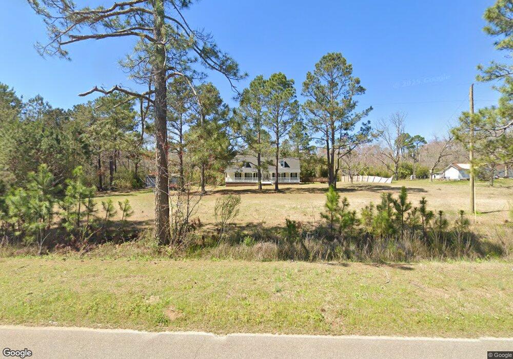
38 Ollifftown Rd Twin City, GA 30471
Estimated Value: $263,000 - $364,000
5
Beds
3
Baths
2,956
Sq Ft
$108/Sq Ft
Est. Value
About This Home
This home is located at 38 Ollifftown Rd, Twin City, GA 30471 and is currently estimated at $319,996, approximately $108 per square foot. 38 Ollifftown Rd is a home located in Emanuel County with nearby schools including Twin City Elementary School.
Ownership History
Date
Name
Owned For
Owner Type
Purchase Details
Closed on
Apr 30, 2015
Sold by
Nicholson John A
Bought by
Ward Derick L
Current Estimated Value
Home Financials for this Owner
Home Financials are based on the most recent Mortgage that was taken out on this home.
Original Mortgage
$158,332
Outstanding Balance
$122,502
Interest Rate
3.8%
Mortgage Type
VA
Estimated Equity
$197,494
Purchase Details
Closed on
May 26, 2003
Sold by
Nicholson Eileen W
Bought by
Nicholson John A
Create a Home Valuation Report for This Property
The Home Valuation Report is an in-depth analysis detailing your home's value as well as a comparison with similar homes in the area
Home Values in the Area
Average Home Value in this Area
Purchase History
| Date | Buyer | Sale Price | Title Company |
|---|---|---|---|
| Ward Derick L | $155,000 | -- | |
| Nicholson John A | -- | -- |
Source: Public Records
Mortgage History
| Date | Status | Borrower | Loan Amount |
|---|---|---|---|
| Open | Ward Derick L | $158,332 |
Source: Public Records
Tax History Compared to Growth
Tax History
| Year | Tax Paid | Tax Assessment Tax Assessment Total Assessment is a certain percentage of the fair market value that is determined by local assessors to be the total taxable value of land and additions on the property. | Land | Improvement |
|---|---|---|---|---|
| 2024 | -- | $108,227 | $6,866 | $101,361 |
| 2023 | $0 | $90,863 | $5,395 | $85,468 |
| 2022 | $2,075 | $76,580 | $5,395 | $71,185 |
| 2021 | $1,977 | $71,530 | $4,904 | $66,626 |
| 2020 | $30 | $57,277 | $6,410 | $50,867 |
| 2019 | $30 | $57,277 | $6,410 | $50,867 |
| 2018 | $1,648 | $57,277 | $6,410 | $50,867 |
| 2017 | $1,652 | $57,277 | $6,410 | $50,867 |
| 2016 | $1,567 | $54,335 | $6,410 | $47,925 |
| 2015 | -- | $54,336 | $6,410 | $47,925 |
| 2014 | -- | $53,127 | $6,410 | $46,716 |
| 2013 | -- | $52,628 | $6,410 | $46,217 |
Source: Public Records
Map
Nearby Homes
- 1120 5th Ave
- 912 5th Ave
- 0 Scarboro Church Rd Unit 25066343
- 211 6th Ave
- 317 5th Ave
- 3770 Hill Rd
- 519 Wilson Rd
- 0 Bowen Hill Rd
- 211 S Railroad St
- 405 Monroe St
- 760 Memphis Rd
- 512 Scarboro Rd
- 0 Old Moore Rd
- 188 Brenda Rd
- 2001 Tru Fail Crossing Rd
- 2548 Dry Dock Rd Unit Tract 1
- 2548 Dry Dock Rd Unit Tract 3
- 2548 Dry Dock Rd
- 2548 Dry Dock Rd Unit Tract 2
- 889 Ga Highway 192 N
- 38 Olivetown Rd
- 38 Olivetown Rd
- 32 Olivetown Rd
- 76 Olivetown Rd
- 3572 Us Highway 80 E
- 3579 Us Highway 80 E
- 3579 U S 80
- 25 Olivetown Rd
- 95 Olivetown Rd
- 3532 Us Highway 80 E
- 191 Bethel Church Rd
- 120 Bethel Church Rd
- 3533 Us Highway 80 E
- 3525 Us Highway 80 E
- 56 Double Gate Rd
- 64 Bluebonnet Rd
- 196 Bethel Church Rd
- 3698 Us Highway 80 E
- 161 Olivetown Rd
- 128 Olivetown Rd