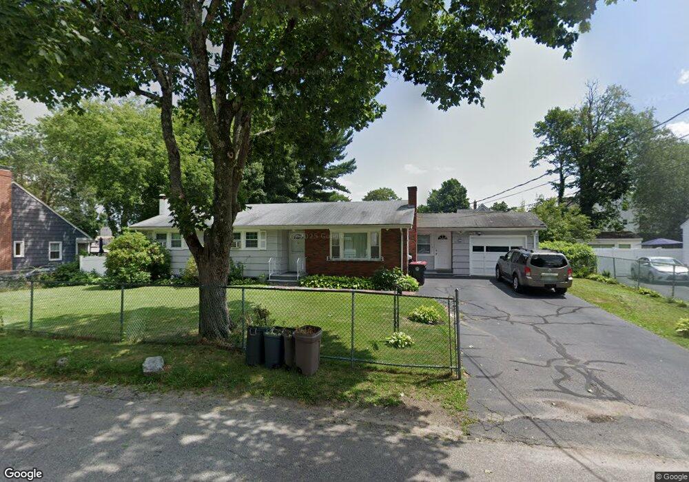
38 Packard Way Brockton, MA 02301
Clifton Heights NeighborhoodEstimated Value: $454,000 - $515,315
3
Beds
2
Baths
1,296
Sq Ft
$371/Sq Ft
Est. Value
About This Home
This home is located at 38 Packard Way, Brockton, MA 02301 and is currently estimated at $481,329, approximately $371 per square foot. 38 Packard Way is a home located in Plymouth County with nearby schools including John F. Kennedy Elementary School, Davis K-8 School, and South Middle School.
Ownership History
Date
Name
Owned For
Owner Type
Purchase Details
Closed on
May 6, 2024
Sold by
Monteiro Manuel and Monteiro Lauisa M
Bought by
Gomes
Current Estimated Value
Purchase Details
Closed on
Nov 26, 1993
Sold by
Caledonia Katherine S
Bought by
Monteiro Manuel and Monteiro Maria L
Home Financials for this Owner
Home Financials are based on the most recent Mortgage that was taken out on this home.
Original Mortgage
$73,300
Interest Rate
6.72%
Mortgage Type
Purchase Money Mortgage
Create a Home Valuation Report for This Property
The Home Valuation Report is an in-depth analysis detailing your home's value as well as a comparison with similar homes in the area
Home Values in the Area
Average Home Value in this Area
Purchase History
| Date | Buyer | Sale Price | Title Company |
|---|---|---|---|
| Gomes | -- | None Available | |
| Gomes | -- | None Available | |
| Monteiro Manuel | $81,500 | -- |
Source: Public Records
Mortgage History
| Date | Status | Borrower | Loan Amount |
|---|---|---|---|
| Previous Owner | Monteiro Manuel | $94,000 | |
| Previous Owner | Monteiro Manuel | $73,300 |
Source: Public Records
Tax History Compared to Growth
Tax History
| Year | Tax Paid | Tax Assessment Tax Assessment Total Assessment is a certain percentage of the fair market value that is determined by local assessors to be the total taxable value of land and additions on the property. | Land | Improvement |
|---|---|---|---|---|
| 2025 | $5,258 | $434,200 | $140,100 | $294,100 |
| 2024 | $5,176 | $430,600 | $140,100 | $290,500 |
| 2023 | $5,270 | $406,000 | $104,300 | $301,700 |
| 2022 | $4,653 | $333,100 | $94,800 | $238,300 |
| 2021 | $4,485 | $309,300 | $78,800 | $230,500 |
| 2020 | $4,493 | $296,600 | $73,800 | $222,800 |
| 2019 | $4,148 | $266,900 | $72,000 | $194,900 |
| 2018 | $3,585 | $223,200 | $72,000 | $151,200 |
| 2017 | $3,499 | $217,300 | $72,000 | $145,300 |
| 2016 | $3,436 | $197,900 | $69,800 | $128,100 |
| 2015 | $3,165 | $174,400 | $69,800 | $104,600 |
| 2014 | $3,082 | $170,000 | $69,800 | $100,200 |
Source: Public Records
Map
Nearby Homes
- 46 Packard Way
- 34 Packard Way
- 35 Myrtle St
- 41 Myrtle St
- 30 Packard Way
- 35 Packard Way
- 31 Myrtle St
- 54 Packard Way
- 27 Packard Way
- 47 Packard Way
- 47 Myrtle St
- 47 Myrtle St Unit 1
- 47 Myrtle St Unit 2
- 51 Myrtle St
- 29 Myrtle St
- 24 Packard Way
- 15 Packard Way
- 55 Myrtle St
- Lot 1 Boylston St
- Lot 1 Hamilton St