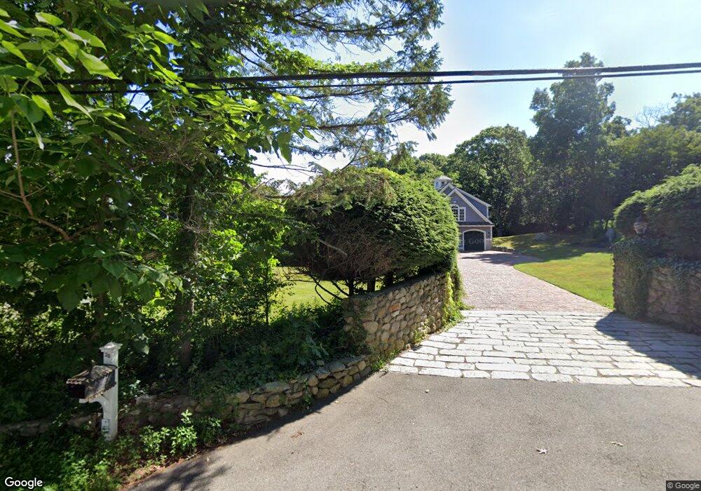
38 Perry St Sherborn, MA 01770
Estimated Value: $1,155,000 - $1,388,000
3
Beds
2
Baths
3,354
Sq Ft
$388/Sq Ft
Est. Value
About This Home
This home is located at 38 Perry St, Sherborn, MA 01770 and is currently estimated at $1,300,452, approximately $387 per square foot. 38 Perry St is a home located in Middlesex County with nearby schools including Pine Hill Elementary School, Dover-Sherborn Regional Middle School, and Dover-Sherborn Regional High School.
Ownership History
Date
Name
Owned For
Owner Type
Purchase Details
Closed on
May 11, 1998
Sold by
E & P Stucchi Rt and Stucchi Edward P
Bought by
Snow William C and Snow Robin M
Current Estimated Value
Home Financials for this Owner
Home Financials are based on the most recent Mortgage that was taken out on this home.
Original Mortgage
$225,000
Outstanding Balance
$43,772
Interest Rate
7.05%
Mortgage Type
Purchase Money Mortgage
Estimated Equity
$1,256,680
Create a Home Valuation Report for This Property
The Home Valuation Report is an in-depth analysis detailing your home's value as well as a comparison with similar homes in the area
Home Values in the Area
Average Home Value in this Area
Purchase History
| Date | Buyer | Sale Price | Title Company |
|---|---|---|---|
| Snow William C | $350,000 | -- |
Source: Public Records
Mortgage History
| Date | Status | Borrower | Loan Amount |
|---|---|---|---|
| Open | Snow William C | $225,000 | |
| Previous Owner | Snow William C | $80,000 |
Source: Public Records
Tax History Compared to Growth
Tax History
| Year | Tax Paid | Tax Assessment Tax Assessment Total Assessment is a certain percentage of the fair market value that is determined by local assessors to be the total taxable value of land and additions on the property. | Land | Improvement |
|---|---|---|---|---|
| 2025 | $20,243 | $1,220,900 | $436,100 | $784,800 |
| 2024 | $19,681 | $1,161,100 | $379,300 | $781,800 |
| 2023 | $18,716 | $1,039,200 | $379,300 | $659,900 |
| 2022 | $17,435 | $916,200 | $366,400 | $549,800 |
| 2021 | $6,255 | $916,200 | $366,400 | $549,800 |
| 2020 | $17,312 | $889,600 | $366,400 | $523,200 |
| 2019 | $6,014 | $862,900 | $366,400 | $496,500 |
| 2018 | $5,689 | $862,900 | $366,400 | $496,500 |
| 2017 | $7,873 | $808,400 | $366,400 | $442,000 |
| 2016 | $16,203 | $787,700 | $345,700 | $442,000 |
| 2015 | $15,817 | $778,400 | $336,300 | $442,100 |
| 2014 | $15,385 | $756,400 | $324,900 | $431,500 |
Source: Public Records
Map
Nearby Homes
- 11 Weld St Unit 37
- 7 Weld St Unit 50
- 7 Weld St Unit 35
- 2 Universal St Unit A
- 7 Orchard View Cir Unit 7
- 1 Glen St Unit B
- 150 2nd St Unit 310
- 51 Village Brook Ln Unit 16
- 126 Beaver St Unit 121
- 26 Walden Dr Unit 4
- 16 Alexander St
- 5 Village Rock Ln Unit 24
- 6 Village Rock Ln Unit 17
- 25 Eames St
- 12 Walden Dr Unit 19
- 57 Village Brook Ln Unit 5
- 50 Village Brook Ln Unit 4
- 18 Beaver Ct
- 15 Bates Rd
- 302 Hollis St Unit R
- 83 Perry St
- 41 Perry St
- 137 Prospect St
- 26 Perry St
- 127 Prospect St
- 22 Perry St
- 113 Prospect St
- 6 Perry St
- 27 Brush Hill Rd
- 32 Brush Hill Rd
- 99 Prospect St
- 31 Brush Hill Rd
- 35 Brush Hill Rd
- 36 Brush Hill Rd
- 94 Prospect St
- 1 Brush Hill Rd
- 151 Hunting Ln
- 44 Brush Hill Rd
- 42 Brush Hill Rd
- 98 Prospect St