38 Pershing Ave Swansea, MA 02777
Ocean Grove NeighborhoodEstimated Value: $333,000 - $469,000
3
Beds
2
Baths
1,268
Sq Ft
$323/Sq Ft
Est. Value
About This Home
This home is located at 38 Pershing Ave, Swansea, MA 02777 and is currently estimated at $409,020, approximately $322 per square foot. 38 Pershing Ave is a home located in Bristol County with nearby schools including Joseph Case High School and Swansea Wood School.
Ownership History
Date
Name
Owned For
Owner Type
Purchase Details
Closed on
May 13, 2005
Sold by
Senra Cheryl A and Senra Pedro M
Bought by
Gagne Denise A and Gagne Michael S
Current Estimated Value
Home Financials for this Owner
Home Financials are based on the most recent Mortgage that was taken out on this home.
Original Mortgage
$212,000
Outstanding Balance
$112,026
Interest Rate
6.05%
Mortgage Type
Purchase Money Mortgage
Estimated Equity
$296,994
Purchase Details
Closed on
Jun 16, 1989
Sold by
Chasse Paul E
Bought by
Senra Pedro M
Create a Home Valuation Report for This Property
The Home Valuation Report is an in-depth analysis detailing your home's value as well as a comparison with similar homes in the area
Home Values in the Area
Average Home Value in this Area
Purchase History
| Date | Buyer | Sale Price | Title Company |
|---|---|---|---|
| Gagne Denise A | $265,000 | -- | |
| Senra Pedro M | $91,000 | -- |
Source: Public Records
Mortgage History
| Date | Status | Borrower | Loan Amount |
|---|---|---|---|
| Open | Gagne Denise A | $212,000 | |
| Previous Owner | Senra Pedro M | $200,000 | |
| Previous Owner | Senra Pedro M | $73,000 | |
| Previous Owner | Senra Pedro M | $15,000 | |
| Previous Owner | Senra Pedro M | $79,500 |
Source: Public Records
Tax History Compared to Growth
Tax History
| Year | Tax Paid | Tax Assessment Tax Assessment Total Assessment is a certain percentage of the fair market value that is determined by local assessors to be the total taxable value of land and additions on the property. | Land | Improvement |
|---|---|---|---|---|
| 2025 | $3,993 | $335,000 | $140,000 | $195,000 |
| 2024 | $4,161 | $347,000 | $140,000 | $207,000 |
| 2023 | $3,872 | $294,900 | $104,300 | $190,600 |
| 2022 | $3,583 | $249,000 | $90,700 | $158,300 |
| 2021 | $3,584 | $229,300 | $90,300 | $139,000 |
| 2020 | $3,622 | $232,500 | $94,200 | $138,300 |
| 2019 | $3,527 | $227,400 | $81,100 | $146,300 |
| 2018 | $3,357 | $219,700 | $75,000 | $144,700 |
| 2017 | $2,853 | $214,800 | $71,700 | $143,100 |
| 2016 | $2,831 | $209,400 | $69,300 | $140,100 |
| 2015 | $2,745 | $209,100 | $69,300 | $139,800 |
| 2014 | $2,549 | $198,500 | $69,300 | $129,200 |
Source: Public Records
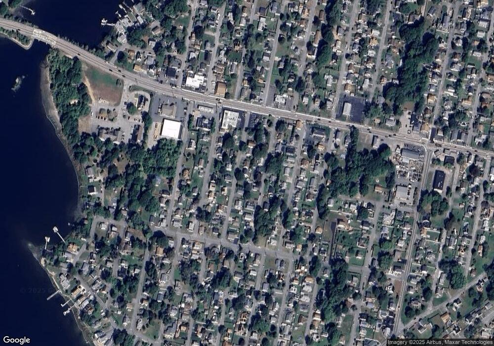
Map
Nearby Homes
- 30 Pershing Ave
- 57 Edwards Ave
- 45 Edwards Ave
- 37 Pershing Ave
- 43 Pershing Ave
- 48 Pershing Ave
- 24 Pershing Ave
- 33 Edwards Ave
- 27 Pershing Ave
- 63 Edwards Ave
- 48 Edwards Ave
- 61 Pershing Ave
- 58 Edwards Ave
- 44 Sherbourne Ave
- 28 Sherbourne Ave
- 56 Pershing Ave
- 62 Edwards Ave
- 62 Edwards Ave (New Construction)
- 20 Pershing Ave
- 15 Pershing Ave