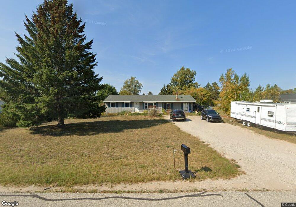
38 Poplar Rd Pellston, MI 49769
Estimated Value: $174,000 - $218,000
Studio
--
Bath
--
Sq Ft
22,303
Sq Ft Lot
About This Home
This home is located at 38 Poplar Rd, Pellston, MI 49769 and is currently estimated at $192,457. 38 Poplar Rd is a home located in Emmet County with nearby schools including Pellston Elementary School and Pellston Middle/High School.
Ownership History
Date
Name
Owned For
Owner Type
Purchase Details
Closed on
Dec 11, 2019
Sold by
Gambrell Leslie
Bought by
Slocum Connie Sue
Current Estimated Value
Home Financials for this Owner
Home Financials are based on the most recent Mortgage that was taken out on this home.
Original Mortgage
$73,000
Outstanding Balance
$64,486
Interest Rate
3.7%
Mortgage Type
New Conventional
Estimated Equity
$127,971
Purchase Details
Closed on
Sep 13, 2000
Sold by
Gille Earl and Gille Beverly
Bought by
Del Group & Mohowitsch David
Purchase Details
Closed on
May 1, 1991
Sold by
Manor Assum Mort
Bought by
Wood
Purchase Details
Closed on
Jan 1, 1984
Bought by
Manor
Purchase Details
Closed on
Apr 1, 1983
Bought by
Northwestern Savings
Create a Home Valuation Report for This Property
The Home Valuation Report is an in-depth analysis detailing your home's value as well as a comparison with similar homes in the area
Purchase History
| Date | Buyer | Sale Price | Title Company |
|---|---|---|---|
| Slocum Connie Sue | $73,000 | -- | |
| Del Group & Mohowitsch David | $89,000 | -- | |
| Wood | $37,800 | -- | |
| Manor | $38,500 | -- | |
| Northwestern Savings | $31,200 | -- |
Source: Public Records
Mortgage History
| Date | Status | Borrower | Loan Amount |
|---|---|---|---|
| Open | Slocum Connie Sue | $73,000 |
Source: Public Records
Tax History
| Year | Tax Paid | Tax Assessment Tax Assessment Total Assessment is a certain percentage of the fair market value that is determined by local assessors to be the total taxable value of land and additions on the property. | Land | Improvement |
|---|---|---|---|---|
| 2025 | $1,770 | $89,700 | $89,700 | $0 |
| 2024 | $12 | $73,800 | $73,800 | $0 |
| 2023 | $1,651 | $69,400 | $69,400 | $0 |
| 2022 | $1,651 | $53,300 | $53,300 | $0 |
| 2021 | $1,714 | $50,500 | $50,500 | $0 |
| 2020 | $1,774 | $51,300 | $51,300 | $0 |
| 2019 | -- | $50,900 | $50,900 | $0 |
| 2018 | -- | $40,000 | $40,000 | $0 |
| 2017 | -- | $40,600 | $40,600 | $0 |
| 2016 | -- | $41,000 | $41,000 | $0 |
| 2015 | -- | $38,600 | $0 | $0 |
| 2014 | -- | $37,700 | $0 | $0 |
Source: Public Records
Map
Nearby Homes
- 6421 Airport Crossing Rd Unit 1
- 8959 Robinson Rd
- TBD Teal Rd
- 4333 U S 31
- 3954 Valley Rd
- 10826 Chickagami Trail
- 10999 Koepke Rd
- 6105 U S 31
- 10222 W Munro Lake Dr
- 1830 Indian Point Rd
- 6167 Lambert Dr
- 6737 Honeysette Rd
- 1442 Indian Point Rd
- 5441 Valley Rd
- 7181 Maple St
- 393 Beaux Rivages Dr
- 7325 Keystone Park Dr Unit 18
- 319 Beaux Rivages Dr
- 7028 Barney Rd
- 1253 Walkabout Ln
Your Personal Tour Guide
Ask me questions while you tour the home.