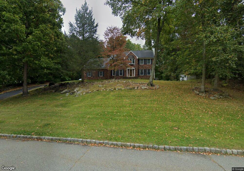
38 Powhatatan Way Hackettstown, NJ 07840
Estimated Value: $748,334 - $857,000
--
Bed
--
Bath
2,706
Sq Ft
$294/Sq Ft
Est. Value
About This Home
This home is located at 38 Powhatatan Way, Hackettstown, NJ 07840 and is currently estimated at $795,834, approximately $294 per square foot. 38 Powhatatan Way is a home located in Morris County with nearby schools including Mt Olive Middle School and Mount Olive High School.
Ownership History
Date
Name
Owned For
Owner Type
Purchase Details
Closed on
Aug 5, 1999
Sold by
Greene Horatius A and Greene Linda C
Bought by
Perkins David and Perkins Linda
Current Estimated Value
Home Financials for this Owner
Home Financials are based on the most recent Mortgage that was taken out on this home.
Original Mortgage
$236,000
Outstanding Balance
$67,818
Interest Rate
7.65%
Estimated Equity
$728,016
Create a Home Valuation Report for This Property
The Home Valuation Report is an in-depth analysis detailing your home's value as well as a comparison with similar homes in the area
Home Values in the Area
Average Home Value in this Area
Purchase History
| Date | Buyer | Sale Price | Title Company |
|---|---|---|---|
| Perkins David | $295,000 | -- |
Source: Public Records
Mortgage History
| Date | Status | Borrower | Loan Amount |
|---|---|---|---|
| Open | Perkins David | $236,000 |
Source: Public Records
Tax History Compared to Growth
Tax History
| Year | Tax Paid | Tax Assessment Tax Assessment Total Assessment is a certain percentage of the fair market value that is determined by local assessors to be the total taxable value of land and additions on the property. | Land | Improvement |
|---|---|---|---|---|
| 2025 | $14,759 | $423,500 | $173,000 | $250,500 |
| 2024 | $13,920 | $423,500 | $173,000 | $250,500 |
| 2023 | $13,920 | $423,500 | $173,000 | $250,500 |
| 2022 | $14,221 | $423,500 | $173,000 | $250,500 |
| 2021 | $14,221 | $423,500 | $173,000 | $250,500 |
| 2020 | $14,031 | $423,500 | $173,000 | $250,500 |
| 2019 | $13,984 | $423,500 | $173,000 | $250,500 |
| 2018 | $13,848 | $423,500 | $173,000 | $250,500 |
| 2017 | $13,607 | $423,500 | $173,000 | $250,500 |
| 2016 | $13,175 | $423,500 | $173,000 | $250,500 |
| 2015 | $13,484 | $423,500 | $173,000 | $250,500 |
| 2014 | $13,497 | $423,500 | $173,000 | $250,500 |
Source: Public Records
Map
Nearby Homes
- 55 Saxton Dr
- 33 Saxton Dr
- 634 Willow Grove St
- 5 Francis Terrace
- 43 Saunders Ln
- 45 Saunders Ln
- 28 Mine Hill Rd
- 169 Winding Hill Dr
- 305 Tulsa Ct Unit 67A05
- 6316 Belmont Dr Unit 16
- 96 Winding Hill Dr
- 1 Crestview Dr
- 2 Brock Ln
- 20 Mine Hill Rd
- 00 Russling Rd
- 209 Park Ave
- 201 Willow Grove St
- 101 Kemper Ct
- 108 U S 46
- 3-A Old Bilby Rd
- 14 Pocahontas Way
- 12 Pocahontas Way
- 45 Powhatatan Way
- 43 Powhatatan Way
- 41 Powhatatan Way
- 11 Pocahontas Way
- 10 Pocahontas Way
- 34 Powhatatan Way
- 39 Powhatatan Way
- 9 Pocahontas Way
- 8 Pocahontas Way
- 32 Powhatatan Way
- 7 Pocahontas Way
- 37 Powhatatan Way
- 1 The Trail S
- 6 Pocahontas Way
- 30 Powhatatan Way
- 5 Pocahontas Way
- 35 Powhatatan Way
- 3 Mohopac Place