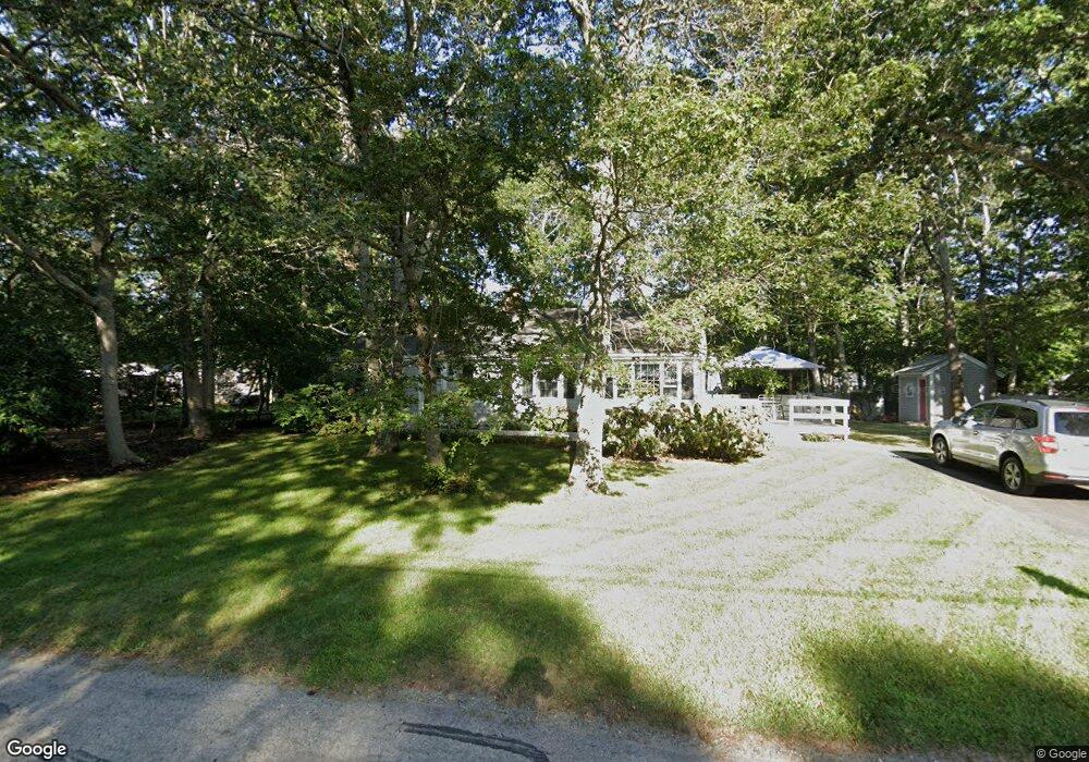
38 Pram Rd Hyannis, MA 02601
Estimated Value: $512,020 - $589,000
3
Beds
1
Bath
800
Sq Ft
$694/Sq Ft
Est. Value
About This Home
This home is located at 38 Pram Rd, Hyannis, MA 02601 and is currently estimated at $555,505, approximately $694 per square foot. 38 Pram Rd is a home located in Barnstable County with nearby schools including Hyannis West Elementary School, Barnstable United Elementary School, and Barnstable Intermediate School.
Ownership History
Date
Name
Owned For
Owner Type
Purchase Details
Closed on
Aug 31, 2004
Sold by
Mitchell Lee Ann and Mitchell Scott D
Bought by
Sloss Alfred K
Current Estimated Value
Home Financials for this Owner
Home Financials are based on the most recent Mortgage that was taken out on this home.
Original Mortgage
$226,400
Outstanding Balance
$113,210
Interest Rate
6.02%
Mortgage Type
Purchase Money Mortgage
Estimated Equity
$442,295
Purchase Details
Closed on
Sep 25, 2000
Sold by
Sylvia Murano Rt
Bought by
Mitchell Scott D
Home Financials for this Owner
Home Financials are based on the most recent Mortgage that was taken out on this home.
Original Mortgage
$116,910
Interest Rate
8%
Mortgage Type
Purchase Money Mortgage
Create a Home Valuation Report for This Property
The Home Valuation Report is an in-depth analysis detailing your home's value as well as a comparison with similar homes in the area
Home Values in the Area
Average Home Value in this Area
Purchase History
| Date | Buyer | Sale Price | Title Company |
|---|---|---|---|
| Sloss Alfred K | $283,000 | -- | |
| Mitchell Scott D | $129,900 | -- |
Source: Public Records
Mortgage History
| Date | Status | Borrower | Loan Amount |
|---|---|---|---|
| Open | Sloss Alfred K | $226,400 | |
| Previous Owner | Mitchell Scott D | $130,125 | |
| Previous Owner | Mitchell Scott D | $21,875 | |
| Previous Owner | Mitchell Scott D | $131,000 | |
| Previous Owner | Mitchell Scott D | $116,910 |
Source: Public Records
Tax History
| Year | Tax Paid | Tax Assessment Tax Assessment Total Assessment is a certain percentage of the fair market value that is determined by local assessors to be the total taxable value of land and additions on the property. | Land | Improvement |
|---|---|---|---|---|
| 2025 | $3,862 | $416,600 | $149,000 | $267,600 |
| 2024 | $3,719 | $410,900 | $149,000 | $261,900 |
| 2023 | $3,450 | $360,500 | $135,400 | $225,100 |
| 2022 | $3,431 | $296,500 | $100,300 | $196,200 |
| 2021 | $1,969 | $261,200 | $100,300 | $160,900 |
| 2020 | $1,776 | $249,100 | $100,300 | $148,800 |
| 2019 | $2,908 | $231,200 | $100,300 | $130,900 |
| 2018 | $2,626 | $213,500 | $105,600 | $107,900 |
| 2017 | $1,455 | $208,700 | $105,600 | $103,100 |
| 2016 | $2,456 | $209,400 | $106,300 | $103,100 |
| 2015 | $2,353 | $203,400 | $102,100 | $101,300 |
Source: Public Records
Map
Nearby Homes
- 36 Grouse Ln
- 20 Sunset Terrace
- 260 Tobey Way
- 83 Peacock Dr
- 33 Edgewood Rd
- 15 Glen Rd
- 140 6th Ave
- 135 W Main St Unit 7
- 14 Marston Ave
- 50 Redwood Ln
- 179 Sudbury Ln
- 75 Olander Dr
- 75 Olander Dr
- 292 Megan Rd
- 780 Craigville Beach Rd Unit D-2
- 780 Craigville Beach Rd Unit 1
- 780 Craigville Beach Rd
- 46 Washington Ave
- 18 Mount Vernon Ave
- 443 Elliott Rd
Your Personal Tour Guide
Ask me questions while you tour the home.