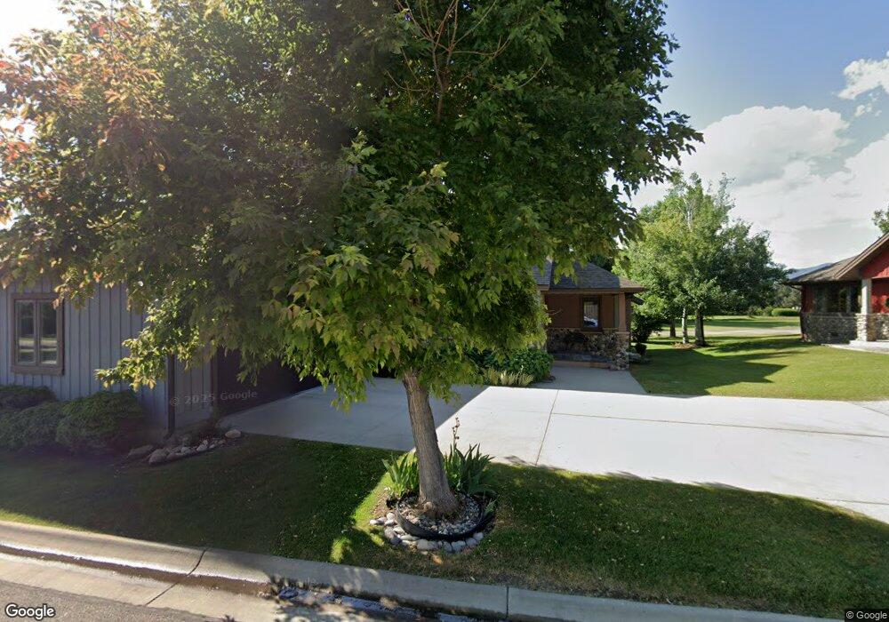
38 River Rock Rd Sheridan, WY 82801
Estimated Value: $443,000 - $822,931
--
Bed
4
Baths
2,639
Sq Ft
$258/Sq Ft
Est. Value
About This Home
This home is located at 38 River Rock Rd, Sheridan, WY 82801 and is currently estimated at $680,733, approximately $257 per square foot. 38 River Rock Rd is a home.
Ownership History
Date
Name
Owned For
Owner Type
Purchase Details
Closed on
Jan 11, 2011
Sold by
Richardosn Patricia L and Richardosn Kennett T
Bought by
Richrdon Patricia L and Richrdon Kennett T
Current Estimated Value
Home Financials for this Owner
Home Financials are based on the most recent Mortgage that was taken out on this home.
Original Mortgage
$271,000
Outstanding Balance
$8,397
Interest Rate
4.84%
Mortgage Type
New Conventional
Estimated Equity
$672,336
Create a Home Valuation Report for This Property
The Home Valuation Report is an in-depth analysis detailing your home's value as well as a comparison with similar homes in the area
Home Values in the Area
Average Home Value in this Area
Purchase History
| Date | Buyer | Sale Price | Title Company |
|---|---|---|---|
| Richrdon Patricia L | -- | None Available |
Source: Public Records
Mortgage History
| Date | Status | Borrower | Loan Amount |
|---|---|---|---|
| Open | Richrdon Patricia L | $271,000 |
Source: Public Records
Tax History Compared to Growth
Tax History
| Year | Tax Paid | Tax Assessment Tax Assessment Total Assessment is a certain percentage of the fair market value that is determined by local assessors to be the total taxable value of land and additions on the property. | Land | Improvement |
|---|---|---|---|---|
| 2025 | $4,705 | $35,506 | $4,845 | $30,661 |
| 2024 | $4,503 | $69,708 | $9,500 | $60,208 |
| 2023 | $4,282 | $66,443 | $8,550 | $57,893 |
| 2022 | $3,487 | $54,654 | $6,840 | $47,814 |
| 2021 | $2,909 | $46,094 | $6,650 | $39,444 |
| 2020 | $2,894 | $45,880 | $6,650 | $39,230 |
| 2019 | $2,736 | $43,537 | $6,318 | $37,219 |
| 2018 | $2,666 | $42,496 | $6,175 | $36,321 |
| 2017 | $2,621 | $40,983 | $4,750 | $36,233 |
| 2015 | $2,594 | $40,277 | $4,750 | $35,527 |
| 2014 | $2,717 | $42,017 | $4,275 | $37,742 |
| 2013 | -- | $39,912 | $3,800 | $36,112 |
Source: Public Records
Map
Nearby Homes
- 8 Buckskin Dr
- 21 Wishbone Way
- Tbd Wagon Wheel Court Lot F11
- Tbd Wagon Wheel Ct Lot F10 & F11
- TBD Wagon Wheel Ct Unit F10
- TBD Wagon Wheel Ct Unit F11
- TBD Wagon Wheel Ct Unit Lot 1
- TBD Wagon Wheel Ct Unit Lot 2
- 3 Thunderbird Dr
- 5 Oakmont Ct
- 21 Eagle Ridge Dr
- 1 Deer Haven Dr
- TBD Powder Horn Rd
- TBD Powder Horn Rd Unit MNR 24 Lot 1
- TBD Eagle Ridge Dr Unit H-7
- 70 Cantle Ct
- 90 Cantle Ct
- 106 Cayuse Ct
- 91 Wyoming 335
- 96 Canvasback Rd
- 40 River Rock Rd
- 34 River Rock Rd
- 37 River Rock Rd
- 35 River Rock Rd
- 32 River Rock Rd
- 42 River Rock Rd
- 31 River Rock Rd
- 44 River Rock Rd
- 45 River Rock Rd
- 28 River Rock Rd
- 29 River Rock Rd
- 0 Buckskin Dr
- 48 River Rock Rd
- 26 River Rock Rd
- 0 Stagecoach Dr Unit 15-1006
- 0 Stagecoach Dr Unit 15-485
- 0 Stagecoach Dr Unit 13-924
- 0 Stagecoach Dr Unit Lot 1
- 59 River Rock Rd
- 50 River Rock Rd