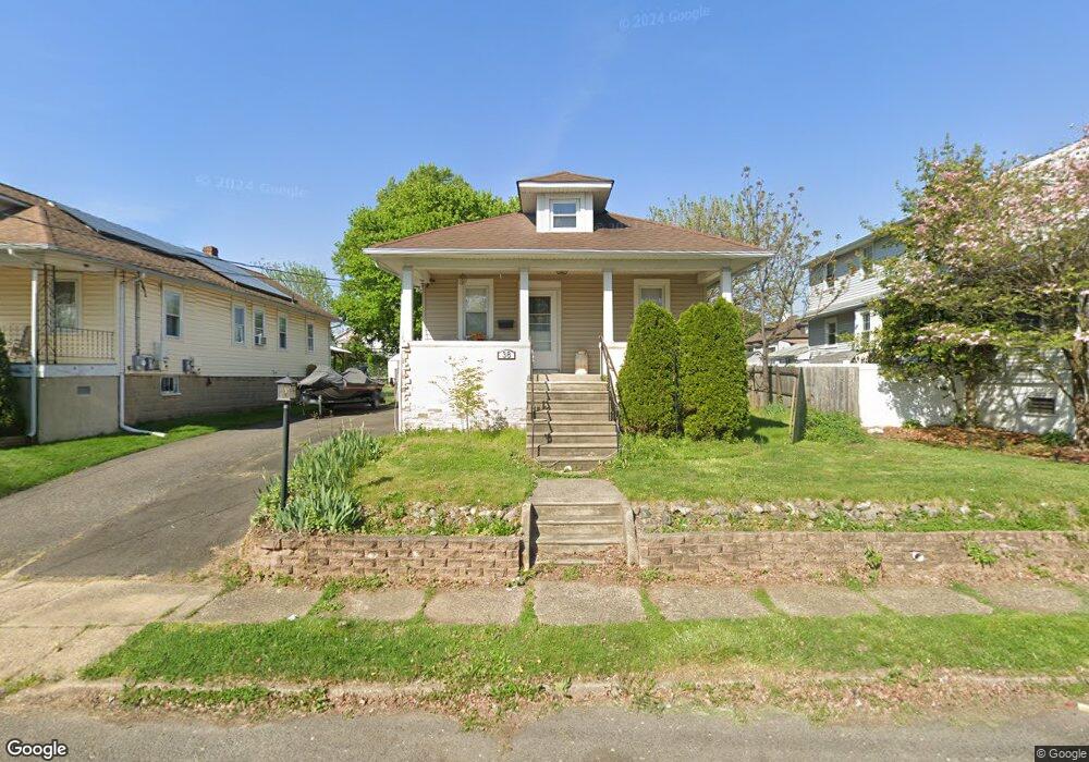
38 S Cedar Ave Maple Shade, NJ 08052
Estimated Value: $330,340 - $372,000
4
Beds
1
Bath
1,415
Sq Ft
$242/Sq Ft
Est. Value
About This Home
This home is located at 38 S Cedar Ave, Maple Shade, NJ 08052 and is currently estimated at $342,335, approximately $241 per square foot. 38 S Cedar Ave is a home located in Burlington County with nearby schools including Ralph J Steinhauer Elementary School, Maude M. Wilkins Elementary School, and Howard R Yocum School.
Ownership History
Date
Name
Owned For
Owner Type
Purchase Details
Closed on
Jan 30, 2009
Sold by
Wetzel Robert and Wetzel Veronica M
Bought by
Hendrickson Michael
Current Estimated Value
Home Financials for this Owner
Home Financials are based on the most recent Mortgage that was taken out on this home.
Original Mortgage
$182,590
Outstanding Balance
$116,035
Interest Rate
5.2%
Mortgage Type
FHA
Estimated Equity
$226,300
Purchase Details
Closed on
Aug 1, 1995
Sold by
Horton Stephen J and Horton Mary B
Bought by
Wetzel Robert G and Wetzel Veronica M
Create a Home Valuation Report for This Property
The Home Valuation Report is an in-depth analysis detailing your home's value as well as a comparison with similar homes in the area
Home Values in the Area
Average Home Value in this Area
Purchase History
| Date | Buyer | Sale Price | Title Company |
|---|---|---|---|
| Hendrickson Michael | $185,000 | Integrity Title Agency Inc | |
| Wetzel Robert G | $91,987 | -- |
Source: Public Records
Mortgage History
| Date | Status | Borrower | Loan Amount |
|---|---|---|---|
| Open | Hendrickson Michael | $182,590 |
Source: Public Records
Tax History
| Year | Tax Paid | Tax Assessment Tax Assessment Total Assessment is a certain percentage of the fair market value that is determined by local assessors to be the total taxable value of land and additions on the property. | Land | Improvement |
|---|---|---|---|---|
| 2025 | $7,300 | $192,300 | $45,200 | $147,100 |
| 2024 | $7,088 | $192,300 | $45,200 | $147,100 |
| 2023 | $7,088 | $192,300 | $45,200 | $147,100 |
| 2022 | $6,979 | $192,300 | $45,200 | $147,100 |
| 2021 | $6,911 | $192,300 | $45,200 | $147,100 |
| 2020 | $6,930 | $192,300 | $45,200 | $147,100 |
| 2019 | $6,677 | $192,300 | $45,200 | $147,100 |
| 2018 | $6,561 | $192,300 | $45,200 | $147,100 |
| 2017 | $6,484 | $192,300 | $45,200 | $147,100 |
| 2016 | $6,388 | $192,300 | $45,200 | $147,100 |
| 2015 | $6,250 | $192,300 | $45,200 | $147,100 |
| 2014 | $6,059 | $192,300 | $45,200 | $147,100 |
Source: Public Records
Map
Nearby Homes
- 44 S Pine Ave
- 15 S Pine Ave
- 115 S Walnut Ave
- 26 Morris Ave
- 206 S Maple Ave
- 42 Spruce Ave
- 61 S Maple Ave
- 452 Elm Ave
- 411 A3 Stiles Ave Unit A-3
- 411 C12 Stiles Ave Unit C-12
- 411 A2 Stiles Ave Unit A-2
- 620 N Lincoln Ave
- 22 Theodore Ave
- 207 E Park Ave
- 5 Vincent Way
- 27 Domenica Dr
- 21 N Lenola Rd
- 9 N Lenola Rd
- 106 Pine St
- 47 S Lippincott Ave
Your Personal Tour Guide
Ask me questions while you tour the home.