38 S Cedar St Carbondale, CO 81623
Carbondale NeighborhoodEstimated Value: $1,242,831 - $1,801,000
3
Beds
2
Baths
1,700
Sq Ft
$901/Sq Ft
Est. Value
About This Home
This home is located at 38 S Cedar St, Carbondale, CO 81623 and is currently estimated at $1,532,208, approximately $901 per square foot. 38 S Cedar St is a home located in Garfield County with nearby schools including Carbondale Community Charter School, Ross Montessori School, and Colorado Rocky Mountain School.
Ownership History
Date
Name
Owned For
Owner Type
Purchase Details
Closed on
Mar 30, 2004
Sold by
Lawley Thomas and Lawley Paula Kay
Bought by
Luck Stephen M and Luck Suzanne M
Current Estimated Value
Home Financials for this Owner
Home Financials are based on the most recent Mortgage that was taken out on this home.
Original Mortgage
$254,400
Outstanding Balance
$107,850
Interest Rate
4.25%
Mortgage Type
Purchase Money Mortgage
Estimated Equity
$1,424,358
Purchase Details
Closed on
Sep 13, 1996
Purchase Details
Closed on
Aug 14, 1987
Create a Home Valuation Report for This Property
The Home Valuation Report is an in-depth analysis detailing your home's value as well as a comparison with similar homes in the area
Home Values in the Area
Average Home Value in this Area
Purchase History
| Date | Buyer | Sale Price | Title Company |
|---|---|---|---|
| Luck Stephen M | $318,000 | Stewart Title Of Glenwood Sp | |
| -- | $185,000 | -- | |
| -- | $79,000 | -- |
Source: Public Records
Mortgage History
| Date | Status | Borrower | Loan Amount |
|---|---|---|---|
| Open | Luck Stephen M | $254,400 |
Source: Public Records
Tax History Compared to Growth
Tax History
| Year | Tax Paid | Tax Assessment Tax Assessment Total Assessment is a certain percentage of the fair market value that is determined by local assessors to be the total taxable value of land and additions on the property. | Land | Improvement |
|---|---|---|---|---|
| 2024 | $4,300 | $57,800 | $26,770 | $31,030 |
| 2023 | $4,300 | $57,800 | $26,770 | $31,030 |
| 2022 | $3,036 | $37,480 | $15,290 | $22,190 |
| 2021 | $3,075 | $38,560 | $15,730 | $22,830 |
| 2020 | $2,923 | $38,710 | $13,590 | $25,120 |
| 2019 | $2,949 | $38,710 | $13,590 | $25,120 |
| 2018 | $2,642 | $34,950 | $13,320 | $21,630 |
| 2017 | $2,525 | $34,950 | $13,320 | $21,630 |
| 2016 | $2,618 | $35,550 | $11,940 | $23,610 |
| 2015 | $2,656 | $35,550 | $11,940 | $23,610 |
| 2014 | -- | $21,980 | $10,830 | $11,150 |
Source: Public Records
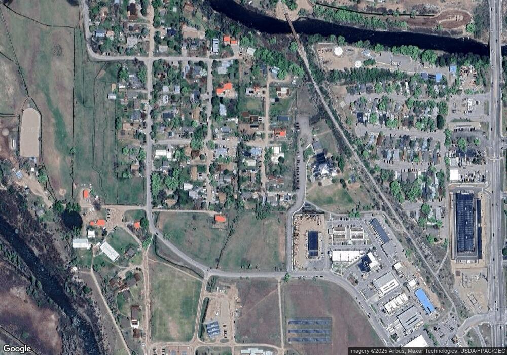
Map
Nearby Homes
- 2635 Dolores Way Unit 2635
- 88 Pine St
- 1945 Dolores Way
- 938 County Road 106
- 228 Midland Point Rd
- 29 Spirit Mtn Rd
- 29 Spirit Mtn Rd
- 491 Morrison St
- 123 Village Ln
- 169 Village Ln
- 570 Redstone Ave
- 762 Lincoln Ave Unit 762
- 296 N 7th St
- 155 Main St
- 640 Lincoln Ave Unit 630 Lincoln Ave
- 610 Colorado Ave
- 718 Main St Unit 718
- 579 Main St
- 137 Stonefly Dr
- 311 Main St Unit STE 300