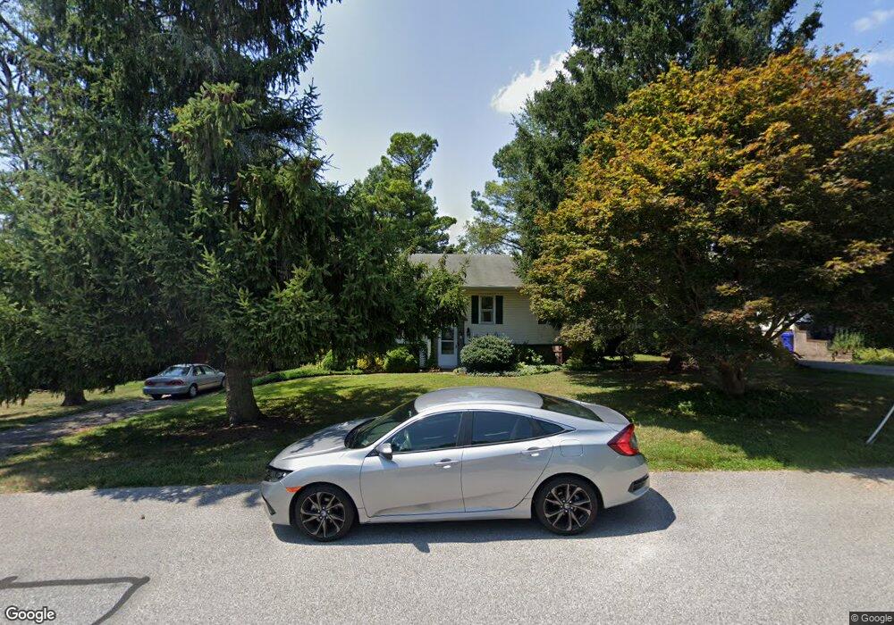
38 S Charles St New Freedom, PA 17349
Estimated Value: $306,112 - $341,000
2
Beds
3
Baths
1,672
Sq Ft
$194/Sq Ft
Est. Value
About This Home
This home is located at 38 S Charles St, New Freedom, PA 17349 and is currently estimated at $324,778, approximately $194 per square foot. 38 S Charles St is a home located in York County with nearby schools including Susquehannock High School, St John The Baptist Catholic School, and Shrewsbury Christian Academy.
Ownership History
Date
Name
Owned For
Owner Type
Purchase Details
Closed on
Aug 31, 1999
Sold by
Heuer Timothy Wayne and Heuer Pamelia Dawn
Bought by
Hendrix Wayne A
Current Estimated Value
Home Financials for this Owner
Home Financials are based on the most recent Mortgage that was taken out on this home.
Original Mortgage
$114,000
Outstanding Balance
$32,967
Interest Rate
7.5%
Estimated Equity
$291,811
Purchase Details
Closed on
Aug 8, 1997
Bought by
Foster Lester H and Foster Doris M
Create a Home Valuation Report for This Property
The Home Valuation Report is an in-depth analysis detailing your home's value as well as a comparison with similar homes in the area
Home Values in the Area
Average Home Value in this Area
Purchase History
| Date | Buyer | Sale Price | Title Company |
|---|---|---|---|
| Hendrix Wayne A | $120,000 | -- | |
| Foster Lester H | $79,000 | -- |
Source: Public Records
Mortgage History
| Date | Status | Borrower | Loan Amount |
|---|---|---|---|
| Open | Hendrix Wayne A | $114,000 |
Source: Public Records
Tax History Compared to Growth
Tax History
| Year | Tax Paid | Tax Assessment Tax Assessment Total Assessment is a certain percentage of the fair market value that is determined by local assessors to be the total taxable value of land and additions on the property. | Land | Improvement |
|---|---|---|---|---|
| 2025 | $4,652 | $157,220 | $33,940 | $123,280 |
| 2024 | $4,577 | $157,220 | $33,940 | $123,280 |
| 2023 | $4,530 | $157,220 | $33,940 | $123,280 |
| 2022 | $4,506 | $157,220 | $33,940 | $123,280 |
| 2021 | $4,311 | $157,220 | $33,940 | $123,280 |
| 2020 | $4,283 | $157,220 | $33,940 | $123,280 |
| 2019 | $4,283 | $157,220 | $33,940 | $123,280 |
| 2018 | $4,193 | $157,220 | $33,940 | $123,280 |
| 2017 | $4,081 | $157,220 | $33,940 | $123,280 |
| 2016 | $0 | $157,220 | $33,940 | $123,280 |
| 2015 | -- | $157,220 | $33,940 | $123,280 |
| 2014 | -- | $157,220 | $33,940 | $123,280 |
Source: Public Records
Map
Nearby Homes
- 101 Freedom Ave
- 48 E Franklin St
- 41 Logan Dr
- 407 Peggy Ln
- 411 Peggy Ln
- 318 Eliza Rd
- 35 Independence Dr
- 32 Washington Rd
- 1402 Oakland Rd
- 111 Penny Ln
- 1605 Oakland Rd
- 677 Keller Rd
- 21315 Ridge Rd
- 521 Windy Hill Rd
- 452 Hilltop Ct
- LOT 8 PORTLAND MODEL Harambe Overlook
- LOT 7 ST. MICHAELS M Harambe Overlook
- LOT 8 SAVANNAH MODEL Harambe Overlook
- Lot #1 Norland Way Unit COVINGTON
- LOT 6 CAMDEN MODEL Harambe Overlook
- 36 S Charles St
- 40 S Charles St
- 39 S Charles St
- 44 S Charles St
- 34 S Charles St
- 42 S Charles St
- 131 Bond St
- 51 S Constitution Ave
- 35 S Charles St
- 132 Bond St
- 61 S Constitution Ave
- 47 S Constitution Ave
- 111 E High St
- 65 S Constitution Ave
- 105 E High St
- 115 E High St
- 45 S Constitution Ave
- 133 Bond St
- 101 E High St
- 41 S Constitution Ave