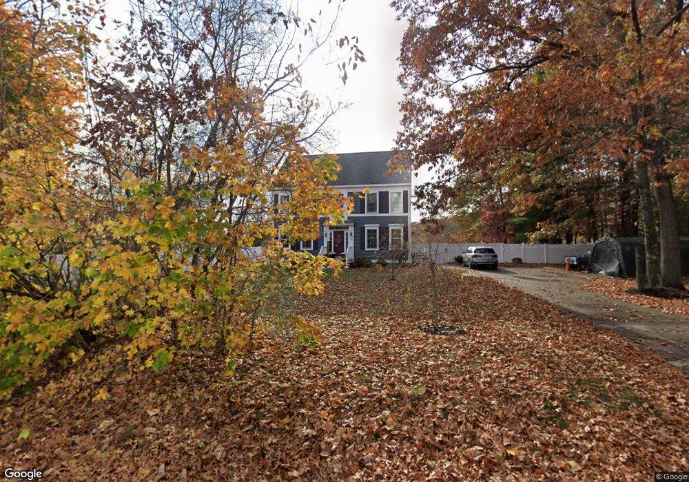
38 S Martin Rd Amesbury, MA 01913
Estimated Value: $756,000 - $836,000
3
Beds
3
Baths
1,836
Sq Ft
$429/Sq Ft
Est. Value
About This Home
This home is located at 38 S Martin Rd, Amesbury, MA 01913 and is currently estimated at $786,784, approximately $428 per square foot. 38 S Martin Rd is a home located in Essex County with nearby schools including Amesbury High School, River Valley Charter School, and Amesbury Seventh-Day Adventist School.
Ownership History
Date
Name
Owned For
Owner Type
Purchase Details
Closed on
Sep 14, 2021
Sold by
Koster John M and Robinson Kristin K
Bought by
Robinson Adam E and Robinson Kristin K
Current Estimated Value
Home Financials for this Owner
Home Financials are based on the most recent Mortgage that was taken out on this home.
Original Mortgage
$206,129
Outstanding Balance
$155,216
Interest Rate
2.1%
Mortgage Type
New Conventional
Estimated Equity
$631,568
Purchase Details
Closed on
Dec 3, 2008
Sold by
Conti April and Conti Mark
Bought by
Robinson Kristin K and Koster John M
Home Financials for this Owner
Home Financials are based on the most recent Mortgage that was taken out on this home.
Original Mortgage
$235,042
Interest Rate
6.11%
Mortgage Type
Purchase Money Mortgage
Create a Home Valuation Report for This Property
The Home Valuation Report is an in-depth analysis detailing your home's value as well as a comparison with similar homes in the area
Home Values in the Area
Average Home Value in this Area
Purchase History
| Date | Buyer | Sale Price | Title Company |
|---|---|---|---|
| Robinson Adam E | -- | None Available | |
| Robinson Adam E | -- | None Available | |
| Robinson Adam E | -- | None Available | |
| Robinson Kristin K | $301,000 | -- | |
| Robinson Kristin K | $301,000 | -- |
Source: Public Records
Mortgage History
| Date | Status | Borrower | Loan Amount |
|---|---|---|---|
| Open | Robinson Adam E | $206,129 | |
| Closed | Robinson Adam E | $206,129 | |
| Previous Owner | Robinson Kristin K | $235,042 | |
| Previous Owner | Robinson Kristin K | $287,920 |
Source: Public Records
Tax History Compared to Growth
Tax History
| Year | Tax Paid | Tax Assessment Tax Assessment Total Assessment is a certain percentage of the fair market value that is determined by local assessors to be the total taxable value of land and additions on the property. | Land | Improvement |
|---|---|---|---|---|
| 2025 | $10,647 | $695,900 | $257,900 | $438,000 |
| 2024 | $10,153 | $649,200 | $243,300 | $405,900 |
| 2023 | $9,288 | $568,400 | $211,700 | $356,700 |
| 2022 | $8,884 | $502,200 | $184,100 | $318,100 |
| 2021 | $8,233 | $451,100 | $142,200 | $308,900 |
| 2020 | $7,458 | $434,100 | $136,700 | $297,400 |
| 2019 | $7,563 | $411,700 | $136,700 | $275,000 |
| 2018 | $7,267 | $382,700 | $130,200 | $252,500 |
| 2017 | $7,457 | $373,800 | $130,200 | $243,600 |
| 2016 | $7,364 | $363,100 | $130,200 | $232,900 |
| 2015 | $7,224 | $351,700 | $130,200 | $221,500 |
| 2014 | $7,038 | $335,600 | $130,200 | $205,400 |
Source: Public Records
Map
Nearby Homes
- 19 Cutter Ln Unit 19
- 28 Beacon St
- 47 Cutter Ln Unit 47
- The Beacon Plan at The Village At Bailey's Pond
- The Essex Plan at The Village At Bailey's Pond
- The Whaler Plan at The Village At Bailey's Pond
- The Bailey Plan at The Village At Bailey's Pond
- 60 Merrimac St Unit 907
- 60 Merrimac St Unit 604
- 35 Merrimac St
- 8 Riverview Heights
- 356 Main St
- 49 W Greenwood St
- 3 Laurel Place
- 382 Main St
- 4 Greenwood St
- 45 Macy St Unit b101
- 45 Macy St Unit 301C
- 45 Macy St Unit 302C
- 394 Main St
- 35 S Martin Rd
- 40 S Martin Rd
- 39 S Martin Rd
- 36 S Martin Rd
- 5 Woodridge Ln
- 42 S Martin Rd
- 41 S Martin Rd
- 3 Woodridge Ln
- 44 S Martin Rd
- 1 Woodridge Ln
- LOT 2 Baker St
- 28 S Martin Rd
- 8 Woodridge Ln
- 4 Woodridge Ln
- 39 Beacon St
- 6 Woodridge Ln
- 30 S Martin Rd
- 35 Beacon St
- 26 S Martin Rd
- 12 Stanhope Way Unit 12