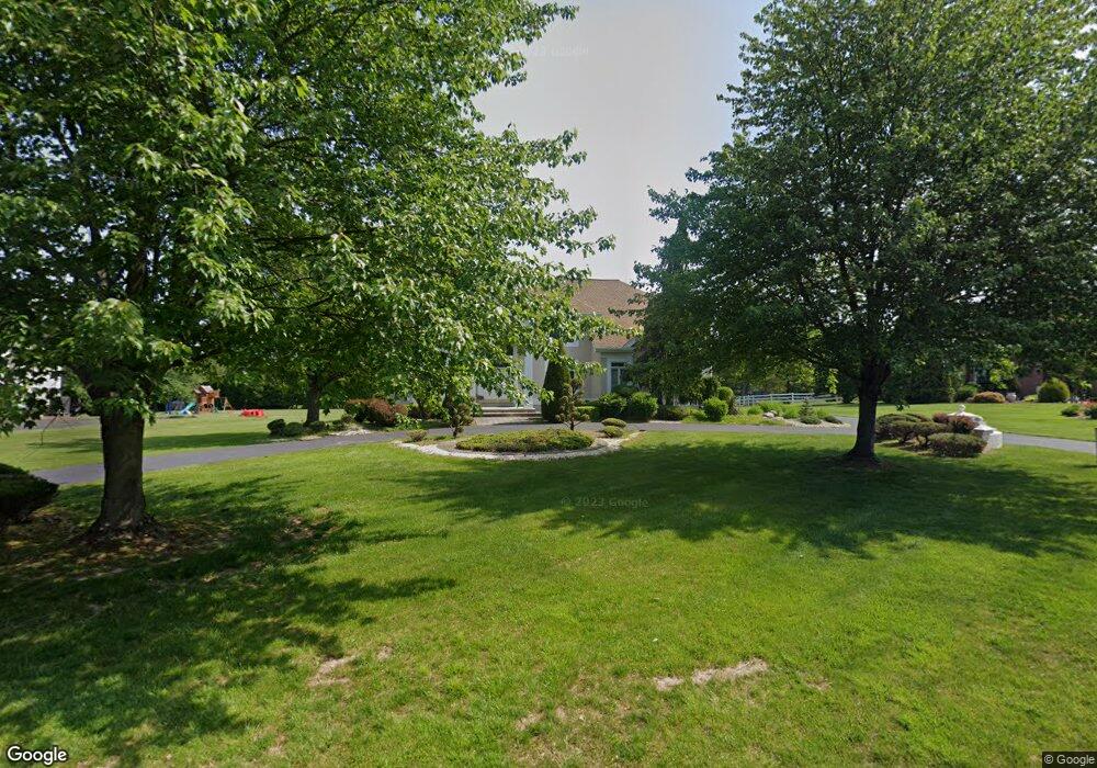
38 Sandtrap Cir Warminster, PA 18974
Estimated Value: $878,582 - $1,108,000
4
Beds
3
Baths
3,356
Sq Ft
$288/Sq Ft
Est. Value
About This Home
This home is located at 38 Sandtrap Cir, Warminster, PA 18974 and is currently estimated at $965,146, approximately $287 per square foot. 38 Sandtrap Cir is a home located in Bucks County with nearby schools including Maureen M. Welch Elementary School, Richboro Middle School, and Council Rock High School - South.
Ownership History
Date
Name
Owned For
Owner Type
Purchase Details
Closed on
Apr 14, 1998
Sold by
Taskin Gary and Taskin Irina
Bought by
Sagalovsky Yury and Sagalovsky Inna
Current Estimated Value
Home Financials for this Owner
Home Financials are based on the most recent Mortgage that was taken out on this home.
Original Mortgage
$200,000
Outstanding Balance
$37,999
Interest Rate
7.11%
Estimated Equity
$927,147
Purchase Details
Closed on
Dec 15, 1992
Bought by
Taskin Gary and Taskin Irina
Create a Home Valuation Report for This Property
The Home Valuation Report is an in-depth analysis detailing your home's value as well as a comparison with similar homes in the area
Home Values in the Area
Average Home Value in this Area
Purchase History
| Date | Buyer | Sale Price | Title Company |
|---|---|---|---|
| Sagalovsky Yury | $335,000 | -- | |
| Taskin Gary | $315,200 | -- |
Source: Public Records
Mortgage History
| Date | Status | Borrower | Loan Amount |
|---|---|---|---|
| Open | Sagalovsky Yury | $200,000 |
Source: Public Records
Tax History
| Year | Tax Paid | Tax Assessment Tax Assessment Total Assessment is a certain percentage of the fair market value that is determined by local assessors to be the total taxable value of land and additions on the property. | Land | Improvement |
|---|---|---|---|---|
| 2025 | $11,994 | $62,270 | $11,000 | $51,270 |
| 2024 | $11,994 | $62,270 | $11,000 | $51,270 |
| 2023 | $11,304 | $62,270 | $11,000 | $51,270 |
| 2022 | $11,200 | $62,270 | $11,000 | $51,270 |
| 2021 | $10,846 | $62,270 | $11,000 | $51,270 |
| 2020 | $10,602 | $62,270 | $11,000 | $51,270 |
| 2019 | $10,148 | $62,270 | $11,000 | $51,270 |
| 2018 | $9,968 | $62,270 | $11,000 | $51,270 |
| 2017 | $9,583 | $62,270 | $11,000 | $51,270 |
| 2016 | $9,583 | $62,270 | $11,000 | $51,270 |
| 2015 | -- | $62,270 | $11,000 | $51,270 |
| 2014 | -- | $62,270 | $11,000 | $51,270 |
Source: Public Records
Map
Nearby Homes
- 70 Wheatsheaf Rd
- 3 Shady Pines Dr
- 11 Spring Dr
- 9 Spring Dr
- 55 Parry Way
- 290 Hatboro Rd
- 52 Hampton Dr
- 6 Creekside Dr
- 105 Edwards Dr
- 112 Edwards Dr
- 636 Almshouse Rd
- 111 Grandview Dr
- 60 Joshua Dr
- 11 Lincoln Ave
- 237 Frog Hollow Rd
- 70 Legacy Oaks Dr Unit 82
- 61 Legacy Oaks Dr Unit 62
- 27 Lindley Rd
- 1019 Dick Ave
- 9 Legacy Oaks Dr Unit 24
- 46 Sandtrap Cir
- 30 Sandtrap Cir
- 794 Pulinski Rd
- 22 Sandtrap Cir
- 810 Pulinski Rd
- 54 Sandtrap Cir
- 41 Sandtrap Cir
- 33 Sandtrap Cir
- 788 Pulinski Rd
- 830 Pulinski Rd
- 25 Sandtrap Cir
- 760 Pulinski Rd
- 14 Sandtrap Cir
- 19 Sandtrap Cir
- 840 Pulinski Rd
- 86 Milbob Dr
- 795 Pulinski Rd
- 11 Sandtrap Cir
- 94 Milbob Dr
- 32 Eisenhard Dr
Your Personal Tour Guide
Ask me questions while you tour the home.