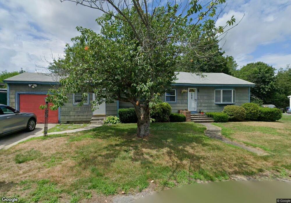
38 Sawyer Ave Dracut, MA 01826
Estimated Value: $458,000 - $566,000
3
Beds
2
Baths
1,310
Sq Ft
$393/Sq Ft
Est. Value
About This Home
This home is located at 38 Sawyer Ave, Dracut, MA 01826 and is currently estimated at $515,125, approximately $393 per square foot. 38 Sawyer Ave is a home located in Middlesex County with nearby schools including Greenmont Avenue School, Richardson Middle School, and Dracut Senior High School.
Ownership History
Date
Name
Owned For
Owner Type
Purchase Details
Closed on
Sep 26, 1991
Sold by
Mary E Galvin Est
Bought by
Lamontagne Christopher and Luanne Lamontagne
Current Estimated Value
Home Financials for this Owner
Home Financials are based on the most recent Mortgage that was taken out on this home.
Original Mortgage
$111,600
Interest Rate
9.1%
Mortgage Type
Purchase Money Mortgage
Create a Home Valuation Report for This Property
The Home Valuation Report is an in-depth analysis detailing your home's value as well as a comparison with similar homes in the area
Home Values in the Area
Average Home Value in this Area
Purchase History
| Date | Buyer | Sale Price | Title Company |
|---|---|---|---|
| Lamontagne Christopher | $124,000 | -- |
Source: Public Records
Mortgage History
| Date | Status | Borrower | Loan Amount |
|---|---|---|---|
| Open | Lamontagne Christopher | $100,000 | |
| Closed | Lamontagne Christopher | $107,100 | |
| Closed | Lamontagne Christopher | $111,600 | |
| Previous Owner | Lamontagne Christopher | $20,000 |
Source: Public Records
Tax History Compared to Growth
Tax History
| Year | Tax Paid | Tax Assessment Tax Assessment Total Assessment is a certain percentage of the fair market value that is determined by local assessors to be the total taxable value of land and additions on the property. | Land | Improvement |
|---|---|---|---|---|
| 2025 | $4,302 | $425,100 | $192,200 | $232,900 |
| 2024 | $4,287 | $410,200 | $183,000 | $227,200 |
| 2023 | $4,107 | $354,700 | $159,100 | $195,600 |
| 2022 | $4,038 | $328,600 | $144,600 | $184,000 |
| 2021 | $3,899 | $299,700 | $131,500 | $168,200 |
| 2020 | $3,754 | $281,200 | $127,700 | $153,500 |
| 2019 | $3,724 | $270,800 | $121,600 | $149,200 |
| 2018 | $3,638 | $257,300 | $121,600 | $135,700 |
| 2017 | $10,340 | $257,300 | $121,600 | $135,700 |
| 2016 | $3,384 | $228,000 | $116,900 | $111,100 |
| 2015 | $3,282 | $219,800 | $116,900 | $102,900 |
| 2014 | $3,065 | $211,500 | $116,900 | $94,600 |
Source: Public Records
Map
Nearby Homes
- 50 Cheever Ave
- 35 Thissell Ave
- 675 Robbins Ave Unit 1
- 700 Robbins Ave Unit 6
- 668 Robbins Ave Unit 1
- 40 Arlington Ave
- 15 Wildwood St Unit B10
- 4 Hazelwood Ave Unit 12
- 23 Blackberry Fields Rd
- 241 Humphrey St
- 277 Loon Hill Rd
- 1391 Bridge St
- 20 17th St
- 44 19th St
- 18 Stone St
- 315 Broadway Rd Unit 7
- 241 Broadway Rd Unit 50
- 1 19th St Unit 3
- 35 Whitney Ave Unit 33
- 120 Amesbury St
- 30 Sawyer Ave
- 42 Sawyer Ave
- 70 Mailloux Terrace
- 39 Sawyer Ave
- 76 Mailloux Terrace
- 29 Sawyer Ave
- 24 Sawyer Ave
- 62 Mailloux Terrace
- 67 Mailloux Terrace
- 69 Mailloux Terrace
- 36 Maille Ave
- 51 Sawyer Ave
- 60 Sawyer Ave
- 46 Maille Ave
- 28 Maille Ave
- 30 Maille Ave
- 54 Mailloux Terrace
- 84 Mailloux Terrace
- 14 Sawyer Ave
- 79 Mailloux Terrace