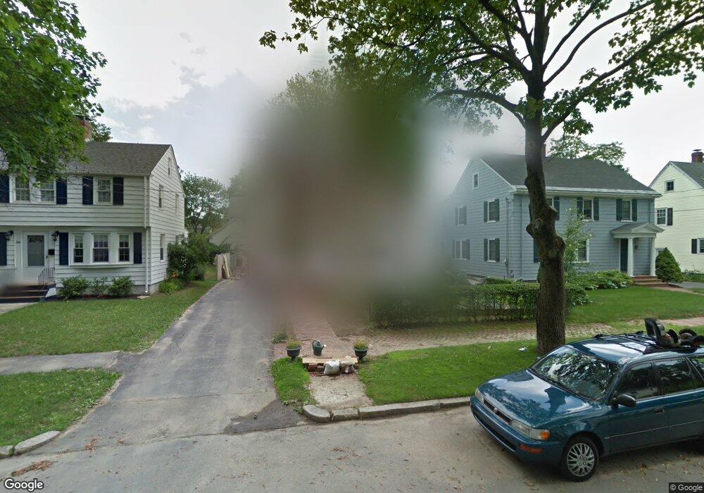
38 Sheffield St Portland, ME 04102
Oakdale NeighborhoodEstimated Value: $607,000 - $701,000
3
Beds
2
Baths
1,680
Sq Ft
$391/Sq Ft
Est. Value
About This Home
This home is located at 38 Sheffield St, Portland, ME 04102 and is currently estimated at $657,652, approximately $391 per square foot. 38 Sheffield St is a home located in Cumberland County with nearby schools including Ocean Avenue Elementary School, King Middle School, and Baxter Academy for Tech & Sciences.
Ownership History
Date
Name
Owned For
Owner Type
Purchase Details
Closed on
Dec 12, 2006
Sold by
Black Scott M and Goldfarb Barbara B
Bought by
Endicott Christine M and Endicott Ross E
Current Estimated Value
Home Financials for this Owner
Home Financials are based on the most recent Mortgage that was taken out on this home.
Original Mortgage
$214,200
Outstanding Balance
$128,703
Interest Rate
6.4%
Mortgage Type
Purchase Money Mortgage
Estimated Equity
$528,949
Create a Home Valuation Report for This Property
The Home Valuation Report is an in-depth analysis detailing your home's value as well as a comparison with similar homes in the area
Home Values in the Area
Average Home Value in this Area
Purchase History
| Date | Buyer | Sale Price | Title Company |
|---|---|---|---|
| Endicott Christine M | -- | -- |
Source: Public Records
Mortgage History
| Date | Status | Borrower | Loan Amount |
|---|---|---|---|
| Open | Endicott Christine M | $214,200 |
Source: Public Records
Tax History Compared to Growth
Tax History
| Year | Tax Paid | Tax Assessment Tax Assessment Total Assessment is a certain percentage of the fair market value that is determined by local assessors to be the total taxable value of land and additions on the property. | Land | Improvement |
|---|---|---|---|---|
| 2024 | $7,110 | $473,700 | $91,300 | $382,400 |
| 2023 | $6,826 | $473,700 | $91,300 | $382,400 |
| 2022 | $6,447 | $473,700 | $91,300 | $382,400 |
| 2021 | $6,153 | $473,700 | $91,300 | $382,400 |
| 2020 | $5,993 | $257,100 | $85,800 | $171,300 |
| 2019 | $5,993 | $257,100 | $85,800 | $171,300 |
| 2018 | $5,780 | $257,100 | $85,800 | $171,300 |
| 2017 | $5,566 | $257,100 | $85,800 | $171,300 |
| 2016 | $5,427 | $257,100 | $85,800 | $171,300 |
| 2015 | $5,304 | $257,100 | $85,800 | $171,300 |
| 2014 | $5,142 | $257,100 | $85,800 | $171,300 |
Source: Public Records
Map
Nearby Homes
- 200 Massachusetts Ave
- 232 Brighton Ave
- 235 Brighton Ave
- 55 Pitt St Unit 6
- 61 Noyes St
- 296 Brighton Ave
- 17 Pitt St
- 76 Frances St
- 372 Park Ave
- 48 Ashmont St
- 6 Highland St
- 103 Deerfield Rd
- 260 Park Ave Unit 1
- 160 Craigie St
- 24 Edwards St
- 16 Lincoln St
- 611 Forest Ave
- 68 Revere St
- 156 Woodford St
- 218 Bradley St
- 34 Sheffield St
- 44 Sheffield St
- 32 Sheffield St
- 48 Sheffield St
- 45 Kenwood St
- 51 Kenwood St
- 41 Kenwood St
- 55 Kenwood St
- 28 Sheffield St
- 37 Kenwood St
- 35 Sheffield St
- 39 Sheffield St
- 59 Kenwood St
- 43 Sheffield St
- 31 Sheffield St
- 539 St John St
- 27 Sheffield St
- 22 Sheffield St
- 33 Kenwood St
- 531 Saint John St