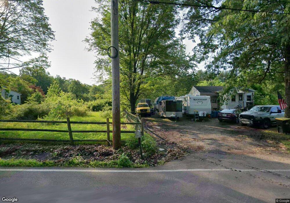
38 Smith Rd Pottstown, PA 19464
Limerick Township NeighborhoodEstimated Value: $233,000 - $385,000
2
Beds
1
Bath
1,024
Sq Ft
$294/Sq Ft
Est. Value
About This Home
This home is located at 38 Smith Rd, Pottstown, PA 19464 and is currently estimated at $300,761, approximately $293 per square foot. 38 Smith Rd is a home located in Montgomery County with nearby schools including Evans Elementary School, Spring-Ford Middle School 8th Grade Center, and Spring-Ford Middle School 5/6/7 Grade Center.
Ownership History
Date
Name
Owned For
Owner Type
Purchase Details
Closed on
Dec 22, 2021
Sold by
Tammy Wynne
Bought by
Wynne Tammy
Current Estimated Value
Home Financials for this Owner
Home Financials are based on the most recent Mortgage that was taken out on this home.
Original Mortgage
$69,006
Interest Rate
3.12%
Mortgage Type
FHA
Purchase Details
Closed on
Feb 20, 2015
Sold by
Hoffman Tammy S
Bought by
Auman Tammy
Home Financials for this Owner
Home Financials are based on the most recent Mortgage that was taken out on this home.
Original Mortgage
$77,838
Interest Rate
3.64%
Mortgage Type
FHA
Purchase Details
Closed on
Aug 1, 1991
Bought by
Mest Gloria J and Haraczka Mary E
Create a Home Valuation Report for This Property
The Home Valuation Report is an in-depth analysis detailing your home's value as well as a comparison with similar homes in the area
Home Values in the Area
Average Home Value in this Area
Purchase History
| Date | Buyer | Sale Price | Title Company |
|---|---|---|---|
| Wynne Tammy | -- | None Listed On Document | |
| Auman Tammy | -- | None Available | |
| Mest Gloria J | -- | -- |
Source: Public Records
Mortgage History
| Date | Status | Borrower | Loan Amount |
|---|---|---|---|
| Previous Owner | Wynne Tammy | $69,006 | |
| Previous Owner | Auman Tammy | $77,838 |
Source: Public Records
Tax History Compared to Growth
Tax History
| Year | Tax Paid | Tax Assessment Tax Assessment Total Assessment is a certain percentage of the fair market value that is determined by local assessors to be the total taxable value of land and additions on the property. | Land | Improvement |
|---|---|---|---|---|
| 2025 | $3,107 | $80,350 | $34,810 | $45,540 |
| 2024 | $3,107 | $80,350 | $34,810 | $45,540 |
| 2023 | $2,963 | $80,350 | $34,810 | $45,540 |
| 2022 | $2,864 | $80,350 | $34,810 | $45,540 |
| 2021 | $2,796 | $80,350 | $34,810 | $45,540 |
| 2020 | $2,725 | $80,350 | $34,810 | $45,540 |
| 2019 | $2,676 | $80,350 | $34,810 | $45,540 |
| 2018 | $1,957 | $80,350 | $34,810 | $45,540 |
| 2017 | $2,626 | $80,350 | $34,810 | $45,540 |
| 2016 | $2,595 | $80,350 | $34,810 | $45,540 |
| 2015 | $2,533 | $80,350 | $34,810 | $45,540 |
| 2014 | $2,483 | $80,350 | $34,810 | $45,540 |
Source: Public Records
Map
Nearby Homes
- 0 Steinmetz Rd
- 172 Oak Creek Dr
- 94 Presidential Dr
- 0 Industrial Pkwy Unit PAMC2142810
- 90 Kurtz Rd
- 300 Deer Run Ct
- 59 Houck Rd
- 160 Deer Run Ct
- 180 Deer Run Ct
- 790 Doe Ct
- 20 Bunker Way
- 1687 Rupert Rd
- 1629 Rupert Rd
- 601 Village Way
- 609 Village Way
- 1180 Rupert Rd
- 303 Carver Ln
- 405 Village Way
- 107 Carver Ln
- 00 Bragg Rd